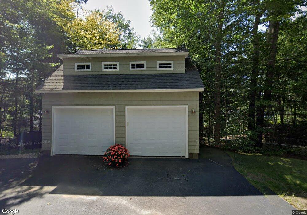
430 Leighton Ave N Laconia, NH 03246
Estimated Value: $1,878,000 - $2,339,000
3
Beds
4
Baths
2,665
Sq Ft
$793/Sq Ft
Est. Value
About This Home
This home is located at 430 Leighton Ave N, Laconia, NH 03246 and is currently estimated at $2,113,475, approximately $793 per square foot. 430 Leighton Ave N is a home located in Belknap County with nearby schools including Laconia Middle School, Laconia High School, and Laconia Christian Academy.
Ownership History
Date
Name
Owned For
Owner Type
Purchase Details
Closed on
Oct 6, 2000
Sold by
Harriett B Knapp Ret
Bought by
Greski David P and Greski Elizabeth A
Current Estimated Value
Home Financials for this Owner
Home Financials are based on the most recent Mortgage that was taken out on this home.
Original Mortgage
$140,000
Outstanding Balance
$51,202
Interest Rate
7.96%
Estimated Equity
$2,062,273
Create a Home Valuation Report for This Property
The Home Valuation Report is an in-depth analysis detailing your home's value as well as a comparison with similar homes in the area
Home Values in the Area
Average Home Value in this Area
Purchase History
| Date | Buyer | Sale Price | Title Company |
|---|---|---|---|
| Greski David P | $380,000 | -- |
Source: Public Records
Mortgage History
| Date | Status | Borrower | Loan Amount |
|---|---|---|---|
| Open | Greski David P | $140,000 |
Source: Public Records
Tax History Compared to Growth
Tax History
| Year | Tax Paid | Tax Assessment Tax Assessment Total Assessment is a certain percentage of the fair market value that is determined by local assessors to be the total taxable value of land and additions on the property. | Land | Improvement |
|---|---|---|---|---|
| 2024 | $25,907 | $1,900,700 | $1,369,800 | $530,900 |
| 2023 | $25,472 | $1,831,200 | $1,335,300 | $495,900 |
| 2022 | $24,351 | $1,639,800 | $1,210,100 | $429,700 |
| 2021 | $19,473 | $1,032,500 | $692,800 | $339,700 |
| 2020 | $18,176 | $921,700 | $582,000 | $339,700 |
| 2019 | $17,779 | $863,500 | $526,500 | $337,000 |
| 2018 | $17,887 | $857,900 | $526,500 | $331,400 |
| 2017 | $17,234 | $819,500 | $498,800 | $320,700 |
| 2016 | $16,730 | $753,600 | $429,500 | $324,100 |
| 2015 | $17,041 | $767,600 | $452,000 | $315,600 |
| 2014 | $17,058 | $761,500 | $451,600 | $309,900 |
| 2013 | $16,271 | $736,900 | $427,000 | $309,900 |
Source: Public Records
Map
Nearby Homes
- 87 Collins Brook Rd
- 70 Weed Rd
- 43 Lower Waldron Rd
- 247 Meredith Center Rd
- 18 Solace Pointe Rd
- 00 Chemung Rd Unit 31
- 35 Black Brook Rd
- 21 Baywoods Rd
- 0 Black Brook Rd Unit 5063655
- 6 Loon Point Rd
- 12 Serenity Ln
- 126 Meredith Center Rd
- 27 Eagle Ledge Rd
- 3114 Parade Rd
- 3088 Parade Rd
- 00 Eagle Ledge Rd
- 129 Black Brook Rd
- 65 Tucker Mountain Rd
- 139 Eastman Shore Rd N
- 64 & 00 Eagle Ledge Rd
- 442 Leighton Ave N
- 416 Leighton Ave N
- 450 Leighton Ave N
- 408 Leighton Ave N
- 474 Leighton Ave N
- 0 Leighton Ave
- 398 Leighton Ave N
- 465 Leighton Ave N
- 435 Leighton Ave N
- 382 Leighton Ave N
- 22 & 23 Leighton Ave N
- 1 Loon Rd
- 457 Leighton Ave N
- 372 Leighton Ave N
- 484 Leighton Ave N
- 366 Leighton Ave N
- 358 Leighton Ave N
- 379 Leighton Ave N
- 518 Leighton Ave N
- 357 Leighton Ave N