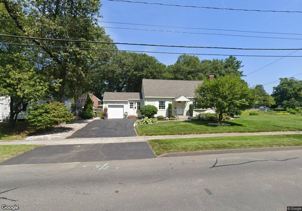
430 Maple Rd Longmeadow, MA 01106
Estimated Value: $373,000 - $431,000
3
Beds
3
Baths
1,379
Sq Ft
$285/Sq Ft
Est. Value
About This Home
This home is located at 430 Maple Rd, Longmeadow, MA 01106 and is currently estimated at $392,377, approximately $284 per square foot. 430 Maple Rd is a home located in Hampden County with nearby schools including Wolf Swamp Road School, Glenbrook Middle School, and Longmeadow High School.
Ownership History
Date
Name
Owned For
Owner Type
Purchase Details
Closed on
May 3, 2021
Sold by
Chistolini Susan M
Bought by
Chistolini Jeffrey and Kotowicz Ann-Marie
Current Estimated Value
Purchase Details
Closed on
Jul 6, 2001
Sold by
Tessicni Dino A and Tessicni Maribeth A
Bought by
Chistolini Susan M
Purchase Details
Closed on
May 28, 1993
Sold by
Deegan Ellen M
Bought by
Tessicini Dino A and Tessicini Maribeth A
Create a Home Valuation Report for This Property
The Home Valuation Report is an in-depth analysis detailing your home's value as well as a comparison with similar homes in the area
Home Values in the Area
Average Home Value in this Area
Purchase History
| Date | Buyer | Sale Price | Title Company |
|---|---|---|---|
| Chistolini Jeffrey | -- | None Available | |
| Chistolini Susan M | $166,750 | -- | |
| Tessicini Dino A | $125,000 | -- |
Source: Public Records
Mortgage History
| Date | Status | Borrower | Loan Amount |
|---|---|---|---|
| Previous Owner | Tessicini Dino A | $6,000 |
Source: Public Records
Tax History
| Year | Tax Paid | Tax Assessment Tax Assessment Total Assessment is a certain percentage of the fair market value that is determined by local assessors to be the total taxable value of land and additions on the property. | Land | Improvement |
|---|---|---|---|---|
| 2025 | $6,904 | $326,900 | $135,400 | $191,500 |
| 2024 | $6,760 | $326,900 | $135,400 | $191,500 |
| 2023 | $6,069 | $264,800 | $93,500 | $171,300 |
| 2022 | $5,840 | $237,000 | $107,900 | $129,100 |
| 2021 | $5,742 | $232,100 | $109,600 | $122,500 |
| 2020 | $5,128 | $211,800 | $95,900 | $115,900 |
| 2019 | $5,016 | $208,200 | $102,800 | $105,400 |
| 2018 | $4,571 | $187,800 | $107,400 | $80,400 |
| 2017 | $4,428 | $187,800 | $107,400 | $80,400 |
| 2016 | $4,392 | $180,500 | $103,300 | $77,200 |
| 2015 | $4,237 | $179,400 | $102,200 | $77,200 |
Source: Public Records
Map
Nearby Homes
- 448 Maple Rd
- 19 Fenwood Rd
- 425 Maple Rd
- 441 Maple Rd
- 417 Maple Rd
- 452 Maple Rd
- 452 Maple Rd Unit 1
- 452 Maple Rd Unit 452
- 409 Maple Rd
- 447 Maple Rd
- 14 Fenwood Rd
- 433 Maple Rd
- 455 Maple Rd
- 398 Maple Rd
- 104 Barclay St
- 104 Barclay St Unit N/A
- 104 Barclay St Unit 1
- 460 Maple Rd
- 26 Whitmun Rd
- 41 Fenwood Rd
Your Personal Tour Guide
Ask me questions while you tour the home.