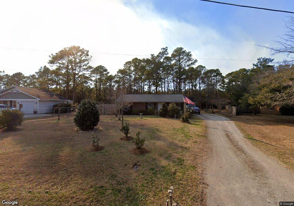
430 Mccabe Rd Newport, NC 28570
Estimated Value: $229,337 - $305,000
2
Beds
1
Bath
975
Sq Ft
$263/Sq Ft
Est. Value
About This Home
This home is located at 430 Mccabe Rd, Newport, NC 28570 and is currently estimated at $256,834, approximately $263 per square foot. 430 Mccabe Rd is a home located in Carteret County with nearby schools including Morehead City Primary School, Morehead Elementary School at Camp Glenn, and Morehead City Middle School.
Ownership History
Date
Name
Owned For
Owner Type
Purchase Details
Closed on
Feb 19, 2024
Sold by
Henson Barbara Jean Lloyd
Bought by
Mayo Jeffrey Dean
Current Estimated Value
Purchase Details
Closed on
Sep 7, 2022
Sold by
Dean Mayo Jeffrey
Bought by
Henson Barbara L
Purchase Details
Closed on
Aug 12, 2022
Sold by
Henson Barbara L
Bought by
Mayo Jeffrey Dean
Create a Home Valuation Report for This Property
The Home Valuation Report is an in-depth analysis detailing your home's value as well as a comparison with similar homes in the area
Home Values in the Area
Average Home Value in this Area
Purchase History
| Date | Buyer | Sale Price | Title Company |
|---|---|---|---|
| Mayo Jeffrey Dean | -- | None Listed On Document | |
| Henson Barbara L | -- | -- | |
| Mayo Jeffrey Dean | -- | Pc Taylor | |
| Mayo Jeffrey Dean | -- | None Listed On Document |
Source: Public Records
Tax History
| Year | Tax Paid | Tax Assessment Tax Assessment Total Assessment is a certain percentage of the fair market value that is determined by local assessors to be the total taxable value of land and additions on the property. | Land | Improvement |
|---|---|---|---|---|
| 2025 | $404 | $200,888 | $82,792 | $118,096 |
| 2024 | $297 | $88,050 | $34,986 | $53,064 |
| 2023 | $371 | $88,050 | $34,986 | $53,064 |
| 2022 | $367 | $88,050 | $34,986 | $53,064 |
| 2021 | $358 | $88,050 | $34,986 | $53,064 |
| 2020 | $355 | $88,050 | $34,986 | $53,064 |
| 2019 | $352 | $91,005 | $31,806 | $59,199 |
| 2017 | $352 | $91,005 | $31,806 | $59,199 |
| 2016 | $352 | $91,005 | $31,806 | $59,199 |
| 2015 | $347 | $91,005 | $31,806 | $59,199 |
| 2014 | $180 | $89,822 | $30,213 | $59,609 |
Source: Public Records
Map
Nearby Homes
- 215 Oak Dr
- 311 Lord Granville Dr
- 212 Lord Granville Dr
- 312 Eastchester Dr
- 109 Pinewood Dr
- 209 Sound Ct
- 806 Lord Granville Dr
- 806 Broadmoor Ct
- 476 Highway 24 - A
- 122 Oriental Ct
- 206 Glenn Abby Dr
- 5320 Highway 70 W
- 154 Canton St
- 204 Nottingham Ln
- 209 Coventry Rd
- 207 Coventry Rd
- 137 Zacchaeus Ave
- 124 Zacchaeus Ave
- 105 Alexandra Ct Unit And Boat Slip 24
- 414 W Branch Dr
Your Personal Tour Guide
Ask me questions while you tour the home.