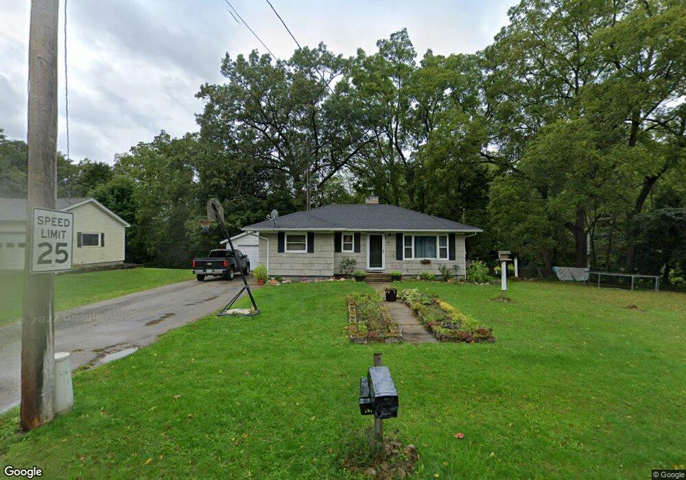
430 N Division St Lowell, MI 49331
Estimated Value: $189,000 - $263,000
3
Beds
1
Bath
1
Sq Ft
$228,907/Sq Ft
Est. Value
About This Home
This home is located at 430 N Division St, Lowell, MI 49331 and is currently estimated at $228,907, approximately $228,907 per square foot. 430 N Division St is a home located in Kent County with nearby schools including Bushnell Elementary School, Cherry Creek Elementary School, and Lowell Middle School.
Ownership History
Date
Name
Owned For
Owner Type
Purchase Details
Closed on
Aug 10, 2016
Sold by
Roth Gerald C and Roth Kristin A
Bought by
Roth Gerald C and Roth Kristin A
Current Estimated Value
Purchase Details
Closed on
Jan 5, 2001
Sold by
Roth Margaret Jeanne
Bought by
Roth Margaret Jeanne and Roth Jennifer Susan
Purchase Details
Closed on
Mar 21, 1997
Bought by
Barnhart Antcliff>Wood and Barnhart Jay
Purchase Details
Closed on
Jun 1, 1983
Bought by
Antcliff R and Barnhart Jay
Purchase Details
Closed on
Jul 1, 1978
Bought by
Pace J and Barnhart Jay
Create a Home Valuation Report for This Property
The Home Valuation Report is an in-depth analysis detailing your home's value as well as a comparison with similar homes in the area
Home Values in the Area
Average Home Value in this Area
Purchase History
| Date | Buyer | Sale Price | Title Company |
|---|---|---|---|
| Roth Gerald C | -- | Attorney | |
| Roth Margaret Jeanne | -- | -- | |
| Barnhart Antcliff>Wood | $83,500 | -- | |
| Antcliff R | $36,900 | -- | |
| Pace J | $24,000 | -- |
Source: Public Records
Tax History Compared to Growth
Tax History
| Year | Tax Paid | Tax Assessment Tax Assessment Total Assessment is a certain percentage of the fair market value that is determined by local assessors to be the total taxable value of land and additions on the property. | Land | Improvement |
|---|---|---|---|---|
| 2025 | $2,396 | $86,600 | $0 | $0 |
| 2024 | $2,396 | $85,400 | $0 | $0 |
| 2023 | $3,029 | $76,500 | $0 | $0 |
| 2022 | $2,896 | $65,700 | $0 | $0 |
| 2021 | $2,826 | $58,400 | $0 | $0 |
| 2020 | $2,081 | $54,200 | $0 | $0 |
| 2019 | $2,770 | $52,300 | $0 | $0 |
| 2018 | $2,710 | $51,500 | $0 | $0 |
| 2017 | $2,648 | $47,200 | $0 | $0 |
| 2016 | $2,591 | $45,600 | $0 | $0 |
| 2015 | -- | $45,600 | $0 | $0 |
| 2013 | -- | $40,300 | $0 | $0 |
Source: Public Records
Map
Nearby Homes
- 414 N Jefferson St
- 1394 Highland Hill Unit 1
- 1352 Highland Hill
- 220 King St Unit 1
- 220 King St Unit 6
- 1250 Highland Hill Unit 24
- 1136 N Washington Rd SE
- 1060 N Washington St
- 216 W Main St Unit 6
- 510 N Hudson St SE
- 1080 N Washington St SE
- 1098 N Washington St SE
- Sycamore Plan at Flat River Estates - Woodland Series
- Sequoia Plan at Flat River Estates - Woodland Series
- Redwood Plan at Flat River Estates - Woodland Series
- Oakwood Plan at Flat River Estates - Woodland Series
- Maplewood Plan at Flat River Estates - Woodland Series
- Elmwood Plan at Flat River Estates - Woodland Series
- Chestnut Plan at Flat River Estates - Woodland Series
- Cedarwood Plan at Flat River Estates - Woodland Series
- 412 N Division St
- 429 N Division St
- 701 Grindle Dr SE
- 608 Grindle Dr
- 701 Grindle Dr
- 404 N Division St
- 704 Grindle Dr
- 413 N Division St
- 725 Shepard Dr
- 606 Grindle Dr
- 606 Grindle Dr SE
- 705 Grindle Dr
- 705 Grindle Dr
- 765 Shepard Dr
- 765 Shepard Blvd SE
- 422 Grindle Dr
- 409 N Division St
- 750 Grindle Dr
- 725 Grindle Dr
- 417 N Jackson St SE