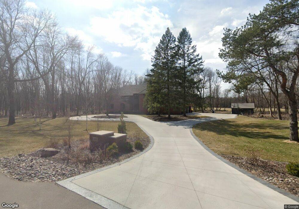
430 Pheasant Ridge Rd Wayzata, MN 55391
Estimated Value: $1,399,000 - $1,903,000
4
Beds
5
Baths
4,768
Sq Ft
$322/Sq Ft
Est. Value
About This Home
This home is located at 430 Pheasant Ridge Rd, Wayzata, MN 55391 and is currently estimated at $1,534,380, approximately $321 per square foot. 430 Pheasant Ridge Rd is a home located in Hennepin County with nearby schools including Schumann Elementary School, Orono Intermediate Elementary School, and Orono Middle School.
Ownership History
Date
Name
Owned For
Owner Type
Purchase Details
Closed on
Jun 18, 2021
Sold by
Tamosuinas Linda D and Tamosuinas Darrell J
Bought by
Flanders Amanda and Flanders Travis
Current Estimated Value
Home Financials for this Owner
Home Financials are based on the most recent Mortgage that was taken out on this home.
Original Mortgage
$808,000
Outstanding Balance
$731,885
Interest Rate
2.93%
Mortgage Type
New Conventional
Estimated Equity
$802,495
Create a Home Valuation Report for This Property
The Home Valuation Report is an in-depth analysis detailing your home's value as well as a comparison with similar homes in the area
Home Values in the Area
Average Home Value in this Area
Purchase History
| Date | Buyer | Sale Price | Title Company |
|---|---|---|---|
| Flanders Amanda | $1,010,000 | Burnet Title | |
| Flanders Amanda Amanda | $1,010,000 | -- |
Source: Public Records
Mortgage History
| Date | Status | Borrower | Loan Amount |
|---|---|---|---|
| Open | Flanders Amanda | $808,000 | |
| Closed | Flanders Amanda Amanda | $808,000 |
Source: Public Records
Tax History Compared to Growth
Tax History
| Year | Tax Paid | Tax Assessment Tax Assessment Total Assessment is a certain percentage of the fair market value that is determined by local assessors to be the total taxable value of land and additions on the property. | Land | Improvement |
|---|---|---|---|---|
| 2024 | $15,014 | $1,306,800 | $480,000 | $826,800 |
| 2023 | $13,291 | $1,209,700 | $408,000 | $801,700 |
| 2022 | $11,066 | $1,085,000 | $408,000 | $677,000 |
| 2021 | $10,906 | $901,000 | $399,000 | $502,000 |
| 2020 | $11,720 | $892,000 | $399,000 | $493,000 |
| 2019 | $11,741 | $915,000 | $399,000 | $516,000 |
| 2018 | $11,087 | $910,000 | $399,000 | $511,000 |
| 2017 | $14,298 | $1,056,000 | $399,000 | $657,000 |
| 2016 | $13,167 | $976,000 | $399,000 | $577,000 |
| 2015 | $12,905 | $958,000 | $348,000 | $610,000 |
| 2014 | -- | $925,000 | $348,000 | $577,000 |
Source: Public Records
Map
Nearby Homes
- 1560 Hunter Dr
- 1420 Tamarack Dr
- 340 Ridge Cir
- 1150 Wyndmere Rd
- 1492 Hunter Dr
- 2625 Alvarado Ln N
- 781 Ferndale Rd N
- 18715 24th Ave N
- 1912 Highcrest Dr
- 2915 Alvarado Ln N
- 1052 Oak Cir
- 1300 6th Ave N
- 1875 Troy Ln N
- 2040 Vagabond Ln N
- 815 Alvarado Ln N
- 2022 Holy Name Dr
- 18525 County Road 24
- 18115 20th Ave N
- 780 Long Bridge Ln
- 24x1 Holy Name Dr
- 420 Pheasant Ridge Rd
- 435 Pheasant Ridge Rd
- 1521 Hunter Dr
- 1245 Hunter Dr
- 450 Pheasant Ridge Rd
- 415 415 Pheasant Ridge Rd
- 415 Pheasant Ridge Rd
- 410 Pheasant Ridge Rd
- 1501 Hunter Dr
- 1501 1501 Hunter-Drive-
- 440 Pheasant Ridge Rd
- 1445 1445 Hunter Dr
- 1445 Hunter Dr
- 1525 Hunter Dr
- 1525 Hunter Dr
- 1505 Hunter Dr
- 1235 Hunter Dr
- 1475 Hunter Dr
- 1475 Hunter Dr
- 1475 Hunter Dr