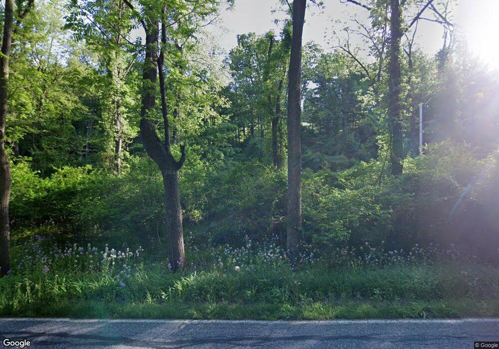
430 S Duke St Dallastown, PA 17313
Estimated Value: $305,000 - $612,649
3
Beds
1
Bath
1,384
Sq Ft
$332/Sq Ft
Est. Value
About This Home
This home is located at 430 S Duke St, Dallastown, PA 17313 and is currently estimated at $458,825, approximately $331 per square foot. 430 S Duke St is a home located in York County with nearby schools including York Township Elementary School, Dallastown Area Middle School, and Dallastown Area High School.
Ownership History
Date
Name
Owned For
Owner Type
Purchase Details
Closed on
Aug 28, 2025
Sold by
Widespread Properties Llc
Bought by
Stauffer Lamar Z
Current Estimated Value
Purchase Details
Closed on
Oct 22, 1993
Sold by
Myers Carter E and Myers Patricia L
Bought by
Myers Carter E and Myers Patricia L
Create a Home Valuation Report for This Property
The Home Valuation Report is an in-depth analysis detailing your home's value as well as a comparison with similar homes in the area
Home Values in the Area
Average Home Value in this Area
Purchase History
| Date | Buyer | Sale Price | Title Company |
|---|---|---|---|
| Stauffer Lamar Z | $108,000 | Alliance Abstract Llc | |
| Myers Carter E | -- | -- |
Source: Public Records
Tax History Compared to Growth
Tax History
| Year | Tax Paid | Tax Assessment Tax Assessment Total Assessment is a certain percentage of the fair market value that is determined by local assessors to be the total taxable value of land and additions on the property. | Land | Improvement |
|---|---|---|---|---|
| 2025 | $7,985 | $232,610 | $1,330 | $231,280 |
| 2024 | $7,868 | $232,610 | $1,330 | $231,280 |
| 2023 | $7,868 | $232,610 | $1,330 | $231,280 |
| 2022 | $7,611 | $232,610 | $1,330 | $231,280 |
| 2021 | $7,250 | $232,610 | $1,330 | $231,280 |
| 2020 | $7,250 | $232,610 | $1,330 | $231,280 |
| 2019 | $7,227 | $232,610 | $1,330 | $231,280 |
| 2018 | $7,178 | $232,610 | $1,330 | $231,280 |
| 2017 | $6,892 | $232,610 | $1,330 | $231,280 |
| 2016 | $0 | $232,610 | $1,330 | $231,280 |
| 2015 | -- | $232,540 | $1,260 | $231,280 |
| 2014 | -- | $232,630 | $1,350 | $231,280 |
Source: Public Records
Map
Nearby Homes
- 600 S Duke St
- 260 Country Ridge Dr
- 156 Country Ridge Dr
- 126 Country Ridge Dr
- 131 Country Ridge Dr
- 840 Country Club Rd
- 126 Linden Ave
- 357 Country Club Rd Unit 26
- 786 Arbor Dr
- 503 W Broadway
- 338 Atlantic Ave
- 321 Atlantic Ave
- 64 S Pleasant Ave
- 400 Carriage Ln Unit 400
- 300 N Franklin St
- 220 W Broadway
- 81 1st Ave Unit E
- 79 1st Ave
- 131 Country Club Rd
- 137 Furlong Way
- 775 Windrush Dr
- 760 S Franklin St
- 765 Windrush Dr
- 420 S Duke St
- 755 Windrush Dr
- 740 Windrush Dr
- 730 Windrush Dr
- 745 Windrush Dr
- 750 Windrush Dr
- 720 Windrush Dr
- 744 S Franklin St
- 744 S Franklin St Unit 3
- 735 Windrush Dr
- 530 S Duke St
- 330 Burrows Rd
- 710 Windrush Dr
- 555 S Park St
- 768 S Franklin St Unit 6
- 768 S Franklin St
- 752 S Franklin St
