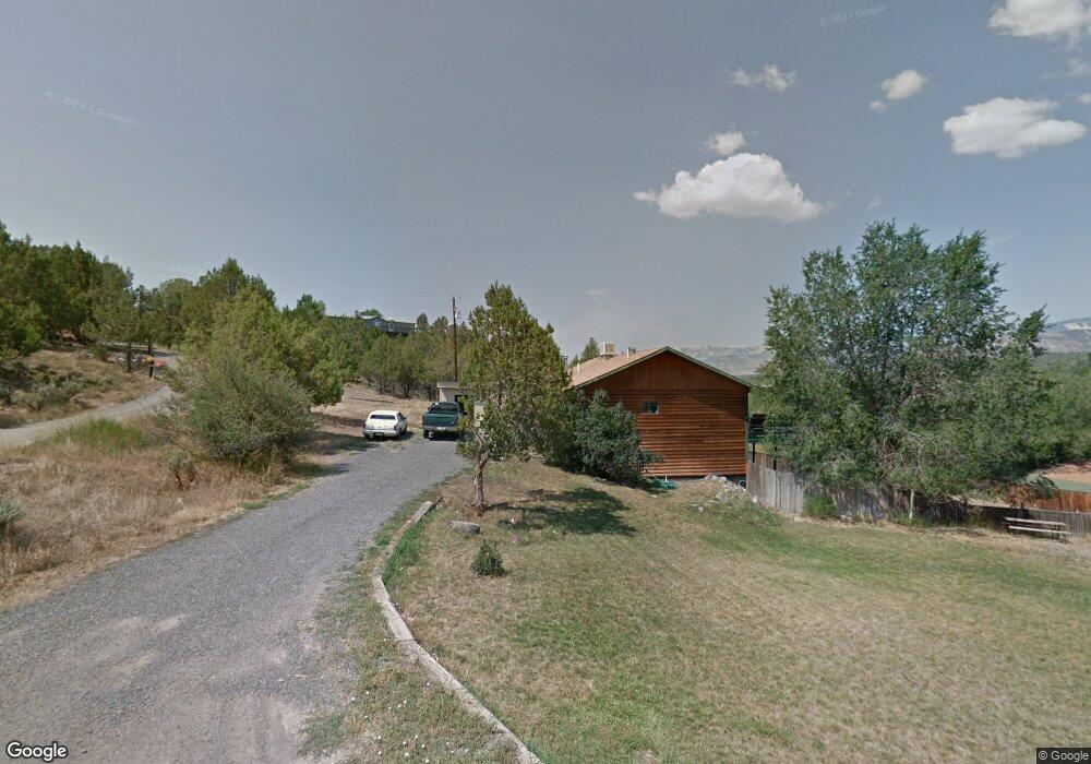
430 Sage St Collbran, CO 81624
Estimated Value: $255,000 - $312,000
1
Bed
1
Bath
1,080
Sq Ft
$264/Sq Ft
Est. Value
About This Home
This home is located at 430 Sage St, Collbran, CO 81624 and is currently estimated at $284,812, approximately $263 per square foot. 430 Sage St is a home with nearby schools including Plateau Valley Elementary School, Plateau Valley Middle School, and Plateau Valley High School.
Ownership History
Date
Name
Owned For
Owner Type
Purchase Details
Closed on
Jan 8, 2019
Sold by
Faulk John C
Bought by
Briardy Thomas F and Briardy Dawn S
Current Estimated Value
Home Financials for this Owner
Home Financials are based on the most recent Mortgage that was taken out on this home.
Original Mortgage
$23,000
Outstanding Balance
$19,628
Interest Rate
3.25%
Mortgage Type
Unknown
Estimated Equity
$265,184
Purchase Details
Closed on
Mar 12, 2012
Sold by
Ashing Clair G
Bought by
The Clair G Ashing Trust
Create a Home Valuation Report for This Property
The Home Valuation Report is an in-depth analysis detailing your home's value as well as a comparison with similar homes in the area
Purchase History
| Date | Buyer | Sale Price | Title Company |
|---|---|---|---|
| Briardy Thomas F | $27,000 | Heritage Title Co | |
| The Clair G Ashing Trust | -- | None Available |
Source: Public Records
Mortgage History
| Date | Status | Borrower | Loan Amount |
|---|---|---|---|
| Open | Briardy Thomas F | $23,000 |
Source: Public Records
Tax History
| Year | Tax Paid | Tax Assessment Tax Assessment Total Assessment is a certain percentage of the fair market value that is determined by local assessors to be the total taxable value of land and additions on the property. | Land | Improvement |
|---|---|---|---|---|
| 2024 | $935 | $9,660 | $2,620 | $7,040 |
| 2023 | $935 | $15,070 | $15,070 | $0 |
| 2022 | $472 | $9,400 | $9,400 | $0 |
| 2021 | $502 | $9,400 | $9,400 | $0 |
| 2020 | $490 | $9,400 | $9,400 | $0 |
| 2019 | $439 | $9,400 | $9,400 | $0 |
| 2018 | $498 | $8,870 | $8,870 | $0 |
| 2016 | $572 | $10,440 | $10,440 | $0 |
Source: Public Records
Map
Nearby Homes
- 528 Oakbrush Cir
- 603 Clancy Ave
- 555 Glenarm Ave Unit 1
- 555 Glenarm Ave
- 58798 Delores Dr Unit 2
- 58798 Delores Dr
- 58590 Pe 3 10 Rd
- 900 Thistle Ct
- TBD H Oe Rd
- 14495 Scott Loop
- 14495 Scott Loop Unit 23
- TBD 56 1 4 Rd
- 18842 58 6 10 Rd
- 18842 Kimball Creek Rd
- 56106 Me Rd
- 19106 Kimball Creek Rd
- 57191 Me Rd
- 56106 Me Rd
- 56106 Me Rd
- 000 Kk Rd
- 526 Glenarm St
- 518 Glenarm St
- 404 High St
- 410 High St
- 312 High St
- 530 Glenarm St
- 530 Glenarm Ave
- 412 High St
- 308 High St
- 401 Park Ave
- 304 High St
- 409 High St
- 403 Park Ave
- 502 Glenarm St
- 527 Oakbrush Cir
- 528 Oakbrush Cir Unit 4-8
- 528 Oakbrush Cir Unit 2
- 528 Oakbrush Cir Unit 1
- 528 Oakbrush Cir Unit 4
- 528 Oakbrush Cir Unit 3
Your Personal Tour Guide
Ask me questions while you tour the home.