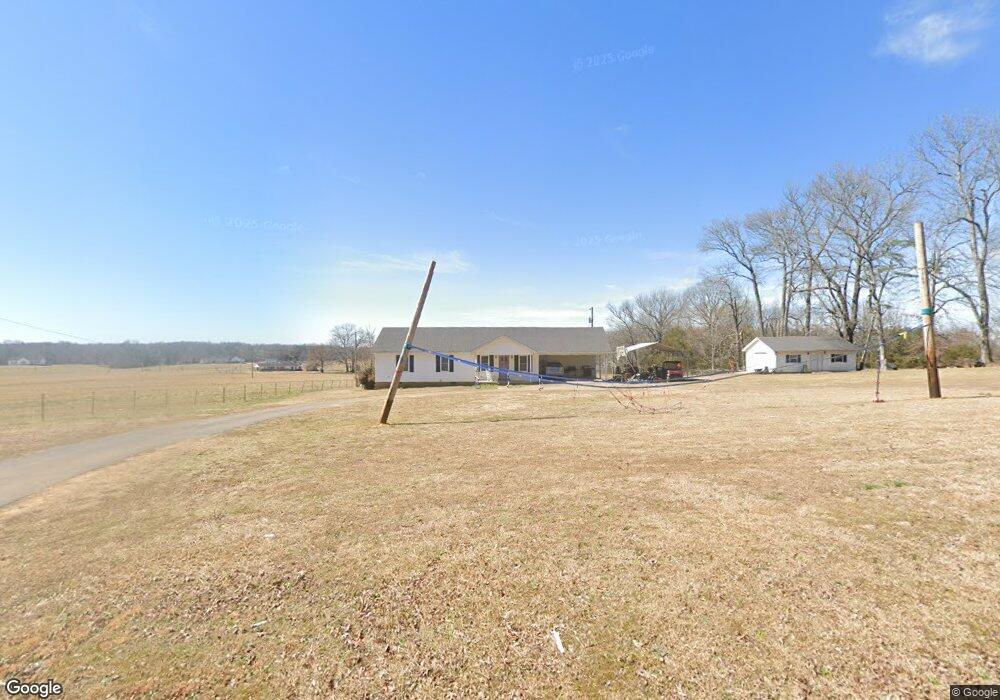
430 Steele Rd Savannah, TN 38372
Estimated Value: $163,000 - $201,000
Studio
3
Baths
1,572
Sq Ft
$116/Sq Ft
Est. Value
About This Home
This home is located at 430 Steele Rd, Savannah, TN 38372 and is currently estimated at $182,862, approximately $116 per square foot. 430 Steele Rd is a home located in Hardin County with nearby schools including Hardin County High School.
Ownership History
Date
Name
Owned For
Owner Type
Purchase Details
Closed on
Jun 26, 2015
Sold by
Franks Janet Whitlow
Bought by
Franks Colton R and Franks Ashley Templeton
Current Estimated Value
Home Financials for this Owner
Home Financials are based on the most recent Mortgage that was taken out on this home.
Original Mortgage
$90,816
Outstanding Balance
$70,392
Interest Rate
3.93%
Mortgage Type
New Conventional
Estimated Equity
$112,470
Purchase Details
Closed on
Sep 5, 2013
Sold by
Reed Diana
Bought by
Franks Cory R and Baker Mary E
Purchase Details
Closed on
May 22, 1990
Bought by
Franks Stanley and Franks Janet W
Purchase Details
Closed on
Feb 19, 1954
Bought by
Whitlow Dr Otis
Purchase Details
Closed on
Aug 12, 1948
Purchase Details
Closed on
Oct 14, 1944
Purchase Details
Closed on
Sep 9, 1913
Create a Home Valuation Report for This Property
The Home Valuation Report is an in-depth analysis detailing your home's value as well as a comparison with similar homes in the area
Purchase History
| Date | Buyer | Sale Price | Title Company |
|---|---|---|---|
| Franks Colton R | $89,000 | -- | |
| Franks Cory R | $35,000 | -- | |
| Franks Stanley | -- | -- | |
| Whitlow Dr Otis | -- | -- | |
| -- | -- | -- | |
| -- | -- | -- | |
| -- | -- | -- |
Source: Public Records
Mortgage History
| Date | Status | Borrower | Loan Amount |
|---|---|---|---|
| Open | Franks Colton R | $90,816 |
Source: Public Records
Tax History
| Year | Tax Paid | Tax Assessment Tax Assessment Total Assessment is a certain percentage of the fair market value that is determined by local assessors to be the total taxable value of land and additions on the property. | Land | Improvement |
|---|---|---|---|---|
| 2025 | $728 | $41,600 | $1,575 | $40,025 |
| 2024 | $728 | $41,600 | $1,575 | $40,025 |
| 2023 | $728 | $41,600 | $1,575 | $40,025 |
| 2022 | $564 | $27,375 | $1,750 | $25,625 |
| 2021 | $564 | $27,375 | $1,750 | $25,625 |
| 2020 | $564 | $27,375 | $1,750 | $25,625 |
| 2019 | $564 | $27,375 | $1,750 | $25,625 |
| 2018 | $545 | $27,375 | $1,750 | $25,625 |
| 2017 | $564 | $27,125 | $1,750 | $25,375 |
| 2016 | $564 | $27,125 | $1,750 | $25,375 |
| 2015 | $494 | $27,125 | $1,750 | $25,375 |
| 2014 | $494 | $27,125 | $1,750 | $25,375 |
Source: Public Records
Map
Nearby Homes
- 15 Titan Way
- 145 Tom Way
- 95 Breeze Point
- 140 Ancil Way
- 1075 Tennessee 203
- 1075 Highway 203
- 30 Rodeo Way
- 6170 Tennessee 226
- 85 Janey Loop
- 115 Partridge Ln
- 370 Serenity Dr
- 460 Andrews Ln
- 9 Suzy Cove
- 95 Ali Grace Ln
- 9 Pinnacle Point
- 0 Water St Unit 10204442
- 0 Sailboat Point Unit RTC3040389
- 0 Poplar Springs Rd Unit RTC3149026
- 0 Cedar Cove Ln
- 19200 Clifton Rd
- 375 Steele Rd
- 330 Steele Rd
- 505 Steele Rd
- 0 Old Town Loop
- 485 Old Town Loop
- 275 Steele Rd
- 170 Old Stage Rd
- 260 Steele Rd
- 665 Old Town Loop
- 600 Old Town Loop
- 246 Steele Rd
- 355 Old Town Loop
- 685 Old Town Loop
- 200 Steele Rd
- 215 Steele Rd
- 470 Old Town Loop
- 725 Old Town Loop
- 230 Steele Rd
- 710 Old Town Loop
- 150 Steele Rd
Your Personal Tour Guide
Ask me questions while you tour the home.