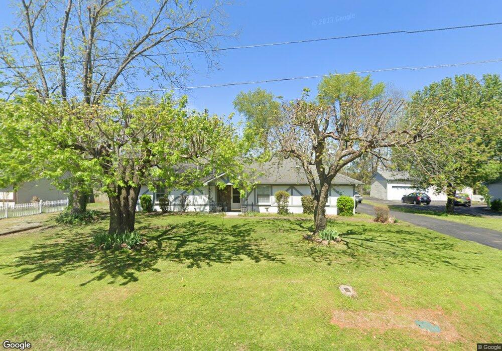
430 Stockade Dr Smyrna, TN 37167
Estimated Value: $289,432 - $371,000
--
Bed
2
Baths
1,651
Sq Ft
$202/Sq Ft
Est. Value
About This Home
This home is located at 430 Stockade Dr, Smyrna, TN 37167 and is currently estimated at $334,108, approximately $202 per square foot. 430 Stockade Dr is a home located in Rutherford County with nearby schools including Stewartsboro Elementary School, Rocky Fork Middle School, and Smyrna High School.
Ownership History
Date
Name
Owned For
Owner Type
Purchase Details
Closed on
Nov 13, 2006
Sold by
Crabtree and Cassand
Bought by
Kenneth Crabtree
Current Estimated Value
Home Financials for this Owner
Home Financials are based on the most recent Mortgage that was taken out on this home.
Original Mortgage
$124,400
Outstanding Balance
$73,996
Interest Rate
6.31%
Mortgage Type
Purchase Money Mortgage
Estimated Equity
$260,112
Purchase Details
Closed on
Jun 14, 2005
Sold by
Steven Crouch James
Bought by
Crabtree and Cassandra
Home Financials for this Owner
Home Financials are based on the most recent Mortgage that was taken out on this home.
Original Mortgage
$96,800
Interest Rate
6.38%
Mortgage Type
Purchase Money Mortgage
Purchase Details
Closed on
Jun 18, 1996
Sold by
Steven Crouch James
Bought by
William Kitts Jr and William Lori
Create a Home Valuation Report for This Property
The Home Valuation Report is an in-depth analysis detailing your home's value as well as a comparison with similar homes in the area
Home Values in the Area
Average Home Value in this Area
Purchase History
| Date | Buyer | Sale Price | Title Company |
|---|---|---|---|
| Kenneth Crabtree | -- | -- | |
| Crabtree | $121,000 | -- | |
| William Kitts Jr | $107,000 | -- |
Source: Public Records
Mortgage History
| Date | Status | Borrower | Loan Amount |
|---|---|---|---|
| Open | William Kitts Jr | $124,400 | |
| Previous Owner | William Kitts Jr | $96,800 |
Source: Public Records
Tax History Compared to Growth
Tax History
| Year | Tax Paid | Tax Assessment Tax Assessment Total Assessment is a certain percentage of the fair market value that is determined by local assessors to be the total taxable value of land and additions on the property. | Land | Improvement |
|---|---|---|---|---|
| 2025 | $1,450 | $67,675 | $13,750 | $53,925 |
| 2024 | $1,450 | $67,675 | $13,750 | $53,925 |
| 2023 | $1,450 | $67,675 | $13,750 | $53,925 |
| 2022 | $1,450 | $67,675 | $13,750 | $53,925 |
| 2021 | $1,372 | $47,000 | $7,750 | $39,250 |
| 2020 | $1,372 | $47,000 | $7,750 | $39,250 |
| 2019 | $1,372 | $47,000 | $7,750 | $39,250 |
| 2018 | $1,316 | $47,000 | $0 | $0 |
| 2017 | $1,016 | $28,525 | $0 | $0 |
| 2016 | $1,016 | $28,525 | $0 | $0 |
| 2015 | $1,016 | $28,525 | $0 | $0 |
| 2014 | $709 | $28,525 | $0 | $0 |
| 2013 | -- | $32,325 | $0 | $0 |
Source: Public Records
Map
Nearby Homes
- 308 Custer Ct
- 340 Stewarts Landing Cir
- 211 Stewarts Landing Cir
- 213 Stewarts Landing Cir
- 104 Evanmeade Dr
- 203 Longfellow Ln
- 109 Longfellow Ln
- 101 Longfellow Ln
- 303 Davis Park Dr
- 202 Latimer Dr
- 1026 Rosemont Terrace
- 1014 Rosemont Terrace
- 0 Old Nashville Hwy Unit RTC2943706
- 640 Ken Pilkerton Dr
- 205 Bane Dr
- 702 Mill Springs Dr
- 201 Bane Dr
- 374 Longhorn Dr
- 2110 Alteras Dr
- 647 Legacy Dr
- 428 Stockade Dr
- 432 Stockade Dr
- 427 Stockade Dr
- 434 Stockade Dr
- 426 Stockade Dr
- 415 Pony Dr
- 425 Stockade Dr
- 424 Stockade Dr
- 130 Long Rifle Rd
- 423 Stockade Dr
- 413 Pony Dr
- 410 Pony Dr
- 429 Stockade Dr
- 110 Lance Ct
- 422 Stockade Dr
- 421 Stockade Dr
- 411 Pony Dr
- 126 Long Rifle Rd
- 108 Lance Ct
- 124 Long Rifle Rd