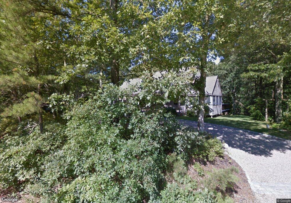
430 W Gate Rd Brewster, MA 02631
Estimated Value: $830,409 - $978,000
3
Beds
3
Baths
1,666
Sq Ft
$547/Sq Ft
Est. Value
About This Home
This home is located at 430 W Gate Rd, Brewster, MA 02631 and is currently estimated at $912,102, approximately $547 per square foot. 430 W Gate Rd is a home located in Barnstable County with nearby schools including Stony Brook Elementary School, Eddy Elementary School, and Nauset Regional Middle School.
Ownership History
Date
Name
Owned For
Owner Type
Purchase Details
Closed on
May 13, 1994
Sold by
Greenbrier Homes Inc
Bought by
Wall Brian J and Wall Mary E
Current Estimated Value
Home Financials for this Owner
Home Financials are based on the most recent Mortgage that was taken out on this home.
Original Mortgage
$140,600
Interest Rate
7.93%
Mortgage Type
Purchase Money Mortgage
Purchase Details
Closed on
Jan 31, 1994
Sold by
Funding Serv Inc
Bought by
Greenbrier Homes Inc
Home Financials for this Owner
Home Financials are based on the most recent Mortgage that was taken out on this home.
Original Mortgage
$110,000
Interest Rate
7.11%
Mortgage Type
Purchase Money Mortgage
Create a Home Valuation Report for This Property
The Home Valuation Report is an in-depth analysis detailing your home's value as well as a comparison with similar homes in the area
Home Values in the Area
Average Home Value in this Area
Purchase History
| Date | Buyer | Sale Price | Title Company |
|---|---|---|---|
| Wall Brian J | $156,310 | -- | |
| Greenbrier Homes Inc | $38,000 | -- | |
| Funding Serv Inc | $38,000 | -- |
Source: Public Records
Mortgage History
| Date | Status | Borrower | Loan Amount |
|---|---|---|---|
| Open | Funding Serv Inc | $200,000 | |
| Closed | Funding Serv Inc | $140,600 | |
| Previous Owner | Funding Serv Inc | $110,000 |
Source: Public Records
Tax History Compared to Growth
Tax History
| Year | Tax Paid | Tax Assessment Tax Assessment Total Assessment is a certain percentage of the fair market value that is determined by local assessors to be the total taxable value of land and additions on the property. | Land | Improvement |
|---|---|---|---|---|
| 2025 | $5,571 | $809,700 | $162,800 | $646,900 |
| 2024 | $5,260 | $772,400 | $153,600 | $618,800 |
| 2023 | $4,831 | $691,200 | $137,100 | $554,100 |
| 2022 | $4,586 | $584,200 | $114,200 | $470,000 |
| 2021 | $4,379 | $510,400 | $99,300 | $411,100 |
| 2020 | $4,277 | $496,200 | $99,300 | $396,900 |
| 2019 | $58 | $478,500 | $95,500 | $383,000 |
| 2018 | $3,863 | $467,700 | $95,500 | $372,200 |
| 2017 | $3,734 | $445,000 | $95,500 | $349,500 |
| 2016 | $3,585 | $425,300 | $93,700 | $331,600 |
| 2015 | $3,434 | $415,700 | $91,800 | $323,900 |
Source: Public Records
Map
Nearby Homes
- 12 Cranberry Trail
- 1 Shore Dr
- 25 Black Duck Cartway
- 14 Dogwood Ln
- 120 Red Maple Rd
- 132 Leland Rd
- 213 S Westgate Rd
- 0 Canoe Pond Dr
- 4 Landing Ln
- 310 Old Chatham Rd Unit C14
- 310 Old Chatham Rd Unit E47
- 310 Old Chatham Rd Unit D-30
- 310 Old Chatham Rd Unit A-141
- 310 Old Chatham Rd Unit A21
- 310 Old Chatham Rd Unit J-12
- 310 Old Chatham Rd Unit G8
- 310 Old Chatham Rd Unit H-12
- 310 Old Chatham Rd
- 310 Old Chatham Rd Unit E1
- 310 Old Chatham Rd Unit A7
- 472 W Gate Rd
- 574 W Gate Rd
- 350 Black Duck Cartway
- 441 W Gate Rd
- 451 W Gate Rd
- 379R W Gate Rd
- 0 W Gate Rd
- 552 W Gate Rd
- 85 Archies Ctwy
- 315 Cranview Rd
- 154 Archies Ct
- 108 Archies Cartway
- 93 N Westgate Rd
- 0 Archie's Cartway
- 85 Archie's Cartway
- 293 Cranview Rd
- 200 W Gate Rd
- 144 Archies Cartway
- 144 Archie's Cartway
- 125 Archies