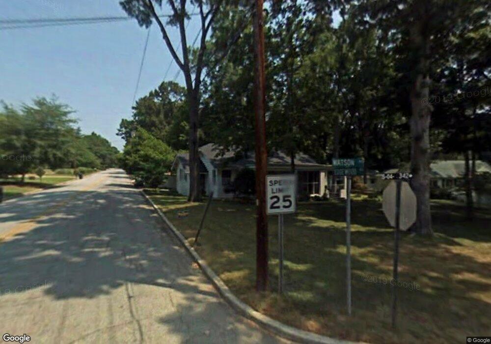
430 Watson Ave Anderson, SC 29625
Estimated Value: $230,605 - $279,000
2
Beds
1
Bath
1,500
Sq Ft
$171/Sq Ft
Est. Value
About This Home
This home is located at 430 Watson Ave, Anderson, SC 29625 and is currently estimated at $256,901, approximately $171 per square foot. 430 Watson Ave is a home located in Anderson County with nearby schools including Whitehall Elementary School, Westside High School, and Anderson Institute of Technology.
Ownership History
Date
Name
Owned For
Owner Type
Purchase Details
Closed on
May 2, 2016
Bought by
Larson David W
Current Estimated Value
Home Financials for this Owner
Home Financials are based on the most recent Mortgage that was taken out on this home.
Original Mortgage
$87,000
Outstanding Balance
$69,258
Interest Rate
3.66%
Estimated Equity
$187,643
Purchase Details
Closed on
Sep 23, 2009
Sold by
Hunt Christopher S and Hunt Anslie H
Bought by
Larson David W and Larson Susan T
Purchase Details
Closed on
Mar 30, 2001
Sold by
Vanduinen Roger S
Bought by
Hunt Christopher S
Purchase Details
Closed on
Feb 26, 2001
Sold by
Rice Patricia J
Bought by
Bouleware James
Create a Home Valuation Report for This Property
The Home Valuation Report is an in-depth analysis detailing your home's value as well as a comparison with similar homes in the area
Home Values in the Area
Average Home Value in this Area
Purchase History
| Date | Buyer | Sale Price | Title Company |
|---|---|---|---|
| Larson David W | -- | -- | |
| Larson David W | $135,000 | -- | |
| Hunt Christopher S | $101,264 | -- | |
| Bouleware James | $3,850 | -- |
Source: Public Records
Mortgage History
| Date | Status | Borrower | Loan Amount |
|---|---|---|---|
| Open | Larson David W | $87,000 | |
| Closed | Larson David W | -- |
Source: Public Records
Tax History Compared to Growth
Tax History
| Year | Tax Paid | Tax Assessment Tax Assessment Total Assessment is a certain percentage of the fair market value that is determined by local assessors to be the total taxable value of land and additions on the property. | Land | Improvement |
|---|---|---|---|---|
| 2024 | $1,424 | $6,820 | $1,240 | $5,580 |
| 2023 | $1,424 | $6,820 | $1,240 | $5,580 |
| 2022 | $1,401 | $6,820 | $1,240 | $5,580 |
| 2021 | $1,280 | $5,480 | $680 | $4,800 |
| 2020 | $1,276 | $5,480 | $680 | $4,800 |
| 2019 | $1,276 | $5,480 | $680 | $4,800 |
| 2018 | $1,288 | $5,480 | $680 | $4,800 |
| 2017 | -- | $8,220 | $1,020 | $7,200 |
| 2016 | $1,259 | $5,300 | $670 | $4,630 |
| 2015 | $1,274 | $5,300 | $670 | $4,630 |
| 2014 | $1,269 | $5,300 | $670 | $4,630 |
Source: Public Records
Map
Nearby Homes
- 415 Watson Ave
- 2005 Northview Ave
- 1922 Dobbins Ave
- 116 Henry Ave
- 1808 Edgewood Ave
- 805 Blair St
- 1721 Martin Ave
- 2408 Lever Ct
- 213 Oneal Dr
- 1710 Martin Ave
- 2223 Ridgewood Ave
- 167 Laurel Oak Dr
- 122 Laurel Oak Dr
- 104 Laurel Oak Dr
- 710 W Mauldin St
- 1004 Raymond Ave
- 2614 E North Ave
- 207 Mayfield Dr
- 119 Mcclure Dr
- 216 Celebration Ave
- 428 Watson Ave
- 423 Central Ave
- 426 Watson Ave
- 419 Central Ave
- 2100 Edgewood Ave
- 2203 Edgewood Ave
- 2201 Edgewood Ave
- 2205 Edgewood Ave
- 417 Central Ave
- 427 Watson Ave
- 422 Watson Ave
- 425 Watson Ave
- 415 Central Ave
- 2207 Edgewood Ave
- 510 Glenwood Ave
- 413 Central Ave
- 424 Central Ave
- 2303 Edgewood Ave
- 420 Watson Ave
- 422 Central Ave