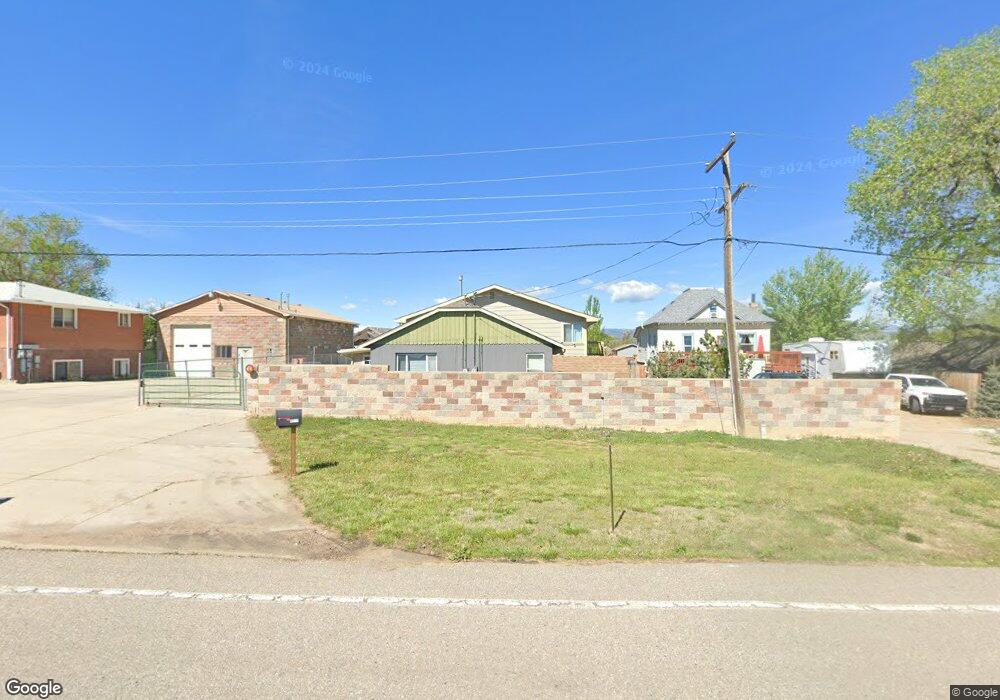
4301 Hawg Wild Rd Loveland, CO 80537
Estimated Value: $577,000 - $654,000
6
Beds
4
Baths
2,600
Sq Ft
$238/Sq Ft
Est. Value
About This Home
This home is located at 4301 Hawg Wild Rd, Loveland, CO 80537 and is currently estimated at $618,296, approximately $237 per square foot. 4301 Hawg Wild Rd is a home located in Larimer County with nearby schools including Carrie Martin Elementary School, Bill Reed Middle School, and Thompson Valley High School.
Ownership History
Date
Name
Owned For
Owner Type
Purchase Details
Closed on
Jul 22, 2014
Sold by
Peterson Charles L
Bought by
Leonard Michael R and Leonard Jeri M
Current Estimated Value
Home Financials for this Owner
Home Financials are based on the most recent Mortgage that was taken out on this home.
Original Mortgage
$242,250
Outstanding Balance
$185,005
Interest Rate
4.23%
Mortgage Type
New Conventional
Estimated Equity
$433,291
Purchase Details
Closed on
Sep 8, 2009
Sold by
Deutsche Bank National Trust Company
Bought by
Peterson Charles L
Purchase Details
Closed on
Aug 3, 2009
Sold by
Honebein Edward H
Bought by
Deutsche Bank National Trust Company
Create a Home Valuation Report for This Property
The Home Valuation Report is an in-depth analysis detailing your home's value as well as a comparison with similar homes in the area
Home Values in the Area
Average Home Value in this Area
Purchase History
| Date | Buyer | Sale Price | Title Company |
|---|---|---|---|
| Leonard Michael R | $255,000 | First American | |
| Peterson Charles L | $108,000 | Chicago Title Co | |
| Deutsche Bank National Trust Company | -- | None Available |
Source: Public Records
Mortgage History
| Date | Status | Borrower | Loan Amount |
|---|---|---|---|
| Open | Leonard Michael R | $242,250 |
Source: Public Records
Tax History Compared to Growth
Tax History
| Year | Tax Paid | Tax Assessment Tax Assessment Total Assessment is a certain percentage of the fair market value that is determined by local assessors to be the total taxable value of land and additions on the property. | Land | Improvement |
|---|---|---|---|---|
| 2025 | $2,701 | $36,850 | $6,834 | $30,016 |
| 2024 | $2,607 | $36,850 | $6,834 | $30,016 |
| 2022 | $2,219 | $28,148 | $6,394 | $21,754 |
| 2021 | $2,277 | $28,958 | $6,578 | $22,380 |
| 2020 | $2,132 | $27,106 | $6,578 | $20,528 |
| 2019 | $2,096 | $27,106 | $6,578 | $20,528 |
| 2018 | $2,153 | $26,424 | $3,096 | $23,328 |
| 2017 | $1,853 | $26,424 | $3,096 | $23,328 |
| 2016 | $1,472 | $20,298 | $3,423 | $16,875 |
| 2015 | $1,459 | $23,850 | $3,420 | $20,430 |
| 2014 | $1,350 | $18,150 | $3,420 | $14,730 |
Source: Public Records
Map
Nearby Homes
- 4215 Page Place
- 492 Sunset Cliffs Dr
- 503 Book Cliffs Dr
- 502 Sunset Cliffs Dr
- 513 Book Cliffs Dr
- 512 Sunset Cliffs Dr
- 523 Book Cliffs Dr
- 533 Book Cliffs Dr
- 532 Sunset Cliffs Dr
- 4001 S Garfield Ave
- 162 Robin Dr
- 3621 Denise Ave
- 575 Ranchhand Dr
- 719 Wagon Bend Rd
- 767 Wagon Bend Rd
- 796 Abrams Way
- 2651 Big Empty Place
- 513 Grand Market Ave
- 2771 Red Wheat Trail
- 942 Wagon Bend Rd
- 4301 Hawg Wild Rd
- 4275 Hawg Wild Rd
- 4275 Hawg Wild Rd
- 4305 Hawg Wild Rd
- 4225 Hawg Wild Rd
- 4221 Hawg Wild Rd
- 4332 Hawg Hollow Ln
- 4315 Hawg Wild Rd
- 4205 Hawg Wild Rd
- 4205 Hawg Wild Rd
- 226 42nd St SE
- 4324 Page Place
- 4328 Page Place
- 4318 Hawg Hollow Ln
- 4330 Page Place
- 105 50th St SW
- 220 42nd St SE
- 4332 Page Place
- 4319 Hawg Hollow Ln
- 214 42nd St SE