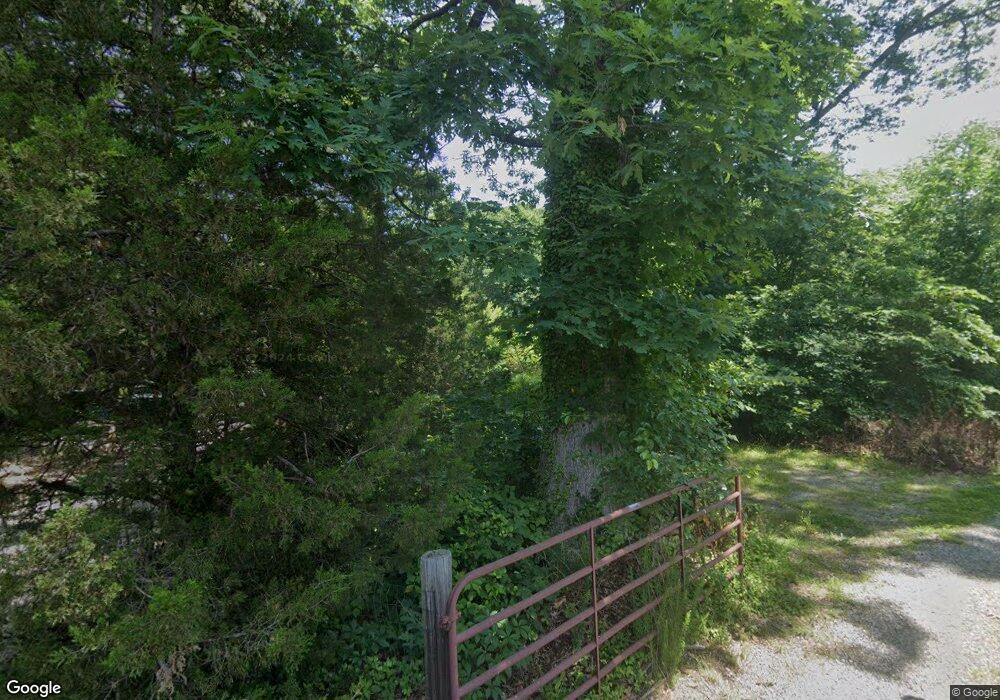
4301 Waldor Dr Richmond, VA 23234
Cottrell Farms NeighborhoodEstimated Value: $286,000 - $366,000
3
Beds
2
Baths
1,796
Sq Ft
$179/Sq Ft
Est. Value
About This Home
This home is located at 4301 Waldor Dr, Richmond, VA 23234 and is currently estimated at $320,777, approximately $178 per square foot. 4301 Waldor Dr is a home located in Richmond City with nearby schools including J.L. Francis Elementary School, Richmond High School for the Arts, and Open High School.
Ownership History
Date
Name
Owned For
Owner Type
Purchase Details
Closed on
Nov 18, 2021
Sold by
Coleman Ramona F
Bought by
Coleman Matthew and Coleman Ramona F
Current Estimated Value
Purchase Details
Closed on
Oct 7, 1998
Sold by
Tyler Kenneth H and Dawn Q Tyler/H W
Bought by
Coleman
Home Financials for this Owner
Home Financials are based on the most recent Mortgage that was taken out on this home.
Original Mortgage
$84,600
Outstanding Balance
$18,554
Interest Rate
6.92%
Mortgage Type
New Conventional
Estimated Equity
$302,223
Create a Home Valuation Report for This Property
The Home Valuation Report is an in-depth analysis detailing your home's value as well as a comparison with similar homes in the area
Home Values in the Area
Average Home Value in this Area
Purchase History
| Date | Buyer | Sale Price | Title Company |
|---|---|---|---|
| Coleman Matthew | -- | None Available | |
| Coleman | $94,000 | -- |
Source: Public Records
Mortgage History
| Date | Status | Borrower | Loan Amount |
|---|---|---|---|
| Open | Coleman | $84,600 |
Source: Public Records
Tax History Compared to Growth
Tax History
| Year | Tax Paid | Tax Assessment Tax Assessment Total Assessment is a certain percentage of the fair market value that is determined by local assessors to be the total taxable value of land and additions on the property. | Land | Improvement |
|---|---|---|---|---|
| 2025 | $3,444 | $305,000 | $65,000 | $240,000 |
| 2024 | $3,444 | $287,000 | $60,000 | $227,000 |
| 2023 | $3,384 | $282,000 | $60,000 | $222,000 |
| 2022 | $2,976 | $248,000 | $52,000 | $196,000 |
| 2020 | $2,292 | $191,000 | $40,000 | $151,000 |
| 2019 | $2,232 | $186,000 | $40,000 | $146,000 |
| 2018 | $1,704 | $142,000 | $34,000 | $108,000 |
| 2017 | $1,680 | $140,000 | $34,000 | $106,000 |
| 2016 | $1,668 | $139,000 | $34,000 | $105,000 |
| 2015 | $1,668 | $139,000 | $34,000 | $105,000 |
| 2014 | $1,668 | $139,000 | $34,000 | $105,000 |
Source: Public Records
Map
Nearby Homes
- 4200 Narbeth Ave
- 4207 Narbeth Ave
- 4116 Aracoma Dr
- 3531 Dorset Rd
- 3817 Bridgeton Rd
- 3440 Broadwick Rd
- 3436 Broadwick Rd
- 3428 Broadwick Rd
- 3429 Hopkins Rd
- 3421 Broadwick Rd
- 3417 Broadwick Rd
- 3449 Hopkins Rd
- 3409 Broadwick Rd
- 3405 Broadwick Rd
- 3445 Hopkins Rd
- 3441 Hopkins Rd
- 3437 Hopkins Rd
- 3433 Hopkins Rd
- 4201 Martha Ln
- 3313 Hopkins Rd
- 4300 Waldor Dr
- 3618 Branchwood Dr
- 3624 Branchwood Dr
- 3616 Branchwood Dr
- 3612 Branchwood Dr
- 3606 Branchwood Dr
- 3630 Branchwood Dr
- 4305 Waldor Dr
- 4310 Waldor Dr
- 4207 Silbury Rd
- 4201 Silbury Rd
- 3636 Branchwood Dr
- 4213 Silbury Rd
- 3619 Branchwood Dr
- 3600 Branchwood Dr
- 4307 Waldor Dr
- 3631 Branchwood Dr
- 4219 Silbury Rd
- 3642 Branchwood Dr
- 3801 Archwood Rd
