4302 Pinehurst Cir Stockton, CA 95219
Brookside NeighborhoodEstimated Value: $527,687 - $707,000
3
Beds
2
Baths
1,723
Sq Ft
$359/Sq Ft
Est. Value
About This Home
This home is located at 4302 Pinehurst Cir, Stockton, CA 95219 and is currently estimated at $617,922, approximately $358 per square foot. 4302 Pinehurst Cir is a home located in San Joaquin County with nearby schools including Brookside, Sierra Middle School, and Lincoln High School.
Ownership History
Date
Name
Owned For
Owner Type
Purchase Details
Closed on
Jan 25, 2022
Sold by
Sue Hill Deborah and Sue Tod M
Bought by
Tod & Debbie Hill 2022 Trust
Current Estimated Value
Purchase Details
Closed on
Feb 19, 2008
Sold by
Hill Deborah Sue and Hill Tod M
Bought by
Hill Deborah Sue and Hill Tod M
Home Financials for this Owner
Home Financials are based on the most recent Mortgage that was taken out on this home.
Original Mortgage
$210,650
Interest Rate
5.88%
Mortgage Type
New Conventional
Purchase Details
Closed on
Jan 29, 1997
Sold by
Thompson Deborah S
Bought by
Thompson Deborah S and Hill Tod M
Purchase Details
Closed on
Nov 29, 1995
Sold by
Grupe Development Associates
Bought by
Thompson Deborah S
Home Financials for this Owner
Home Financials are based on the most recent Mortgage that was taken out on this home.
Original Mortgage
$55,000
Interest Rate
7.42%
Create a Home Valuation Report for This Property
The Home Valuation Report is an in-depth analysis detailing your home's value as well as a comparison with similar homes in the area
Home Values in the Area
Average Home Value in this Area
Purchase History
| Date | Buyer | Sale Price | Title Company |
|---|---|---|---|
| Tod & Debbie Hill 2022 Trust | -- | Diehl Law Firm Apc | |
| Hill Deborah Sue | -- | None Available | |
| Thompson Deborah S | -- | -- | |
| Thompson Deborah S | $182,000 | Chicago Title Co |
Source: Public Records
Mortgage History
| Date | Status | Borrower | Loan Amount |
|---|---|---|---|
| Previous Owner | Hill Deborah Sue | $210,650 | |
| Previous Owner | Thompson Deborah S | $55,000 |
Source: Public Records
Tax History Compared to Growth
Tax History
| Year | Tax Paid | Tax Assessment Tax Assessment Total Assessment is a certain percentage of the fair market value that is determined by local assessors to be the total taxable value of land and additions on the property. | Land | Improvement |
|---|---|---|---|---|
| 2025 | $3,777 | $301,743 | $99,665 | $202,078 |
| 2024 | $3,694 | $295,827 | $97,711 | $198,116 |
| 2023 | $3,659 | $290,028 | $95,796 | $194,232 |
| 2022 | $3,381 | $284,342 | $93,918 | $190,424 |
| 2021 | $3,332 | $278,768 | $92,077 | $186,691 |
| 2020 | $3,341 | $275,910 | $91,133 | $184,777 |
| 2019 | $3,284 | $270,501 | $89,347 | $181,154 |
| 2018 | $3,229 | $265,198 | $87,596 | $177,602 |
| 2017 | $3,167 | $259,999 | $85,879 | $174,120 |
| 2016 | $3,129 | $254,903 | $84,196 | $170,707 |
| 2014 | $3,047 | $246,157 | $81,307 | $164,850 |
Source: Public Records
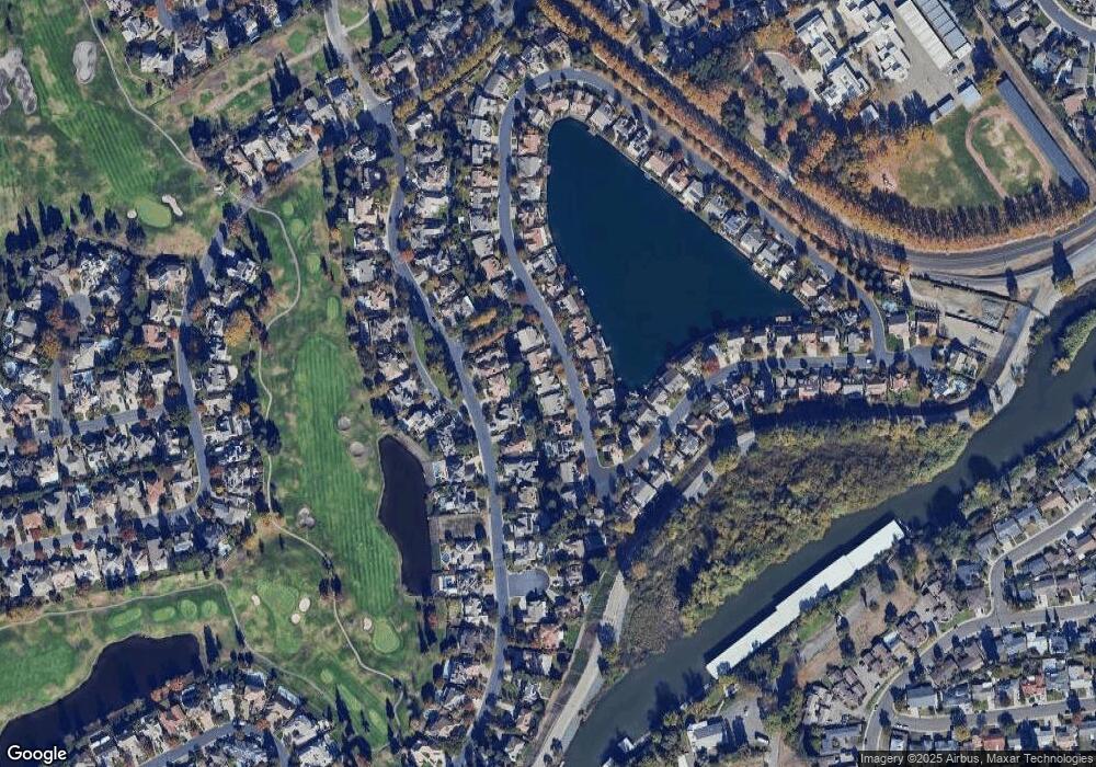
Map
Nearby Homes
- 4240 Pinehurst Cir
- 4231 Pinehurst Cir
- 4224 Pinehurst Cir
- 3225 de Ovan Ave
- 3621 de Ovan Ave
- 4335 Gleneagles Ct
- 4583 Pine Valley Cir
- 4273 Boulder Creek Cir
- 3100 Christina Ave
- 3865 Gleneagles Dr
- 4646 Saint Andrews Dr
- 2903 Raintree Ct
- 2925 de Ovan Ave
- 2868 Christina Ave
- 4368 Boulder Creek Cir
- 3836 Delano Ave
- 3663 Saint Andrews Dr Unit 16
- 5036 Spanish Bay Cir
- 3653 Saint Andrews Dr Unit 14
- 3743 Saint Andrews Dr
- 4304 Pinehurst Cir
- 4260 Pinehurst Cir
- 4316 Saint Andrews Dr
- 4258 Pinehurst Cir
- 4306 Pinehurst Cir
- 4322 Saint Andrews Dr
- 4301 Pinehurst Cir
- 4303 Pinehurst Cir
- 4310 Saint Andrews Dr
- 4261 Pinehurst Cir
- 4305 Pinehurst Cir
- 4328 Saint Andrews Dr
- 4256 Pinehurst Cir
- 4259 Pinehurst Cir
- 4307 Pinehurst Cir Unit 20
- 4334 Saint Andrews Dr
- 4247 Pinehurst Cir
- 4254 Pinehurst Cir
- 4131 Pinehurst Cir
- 4241 Pinehurst Cir