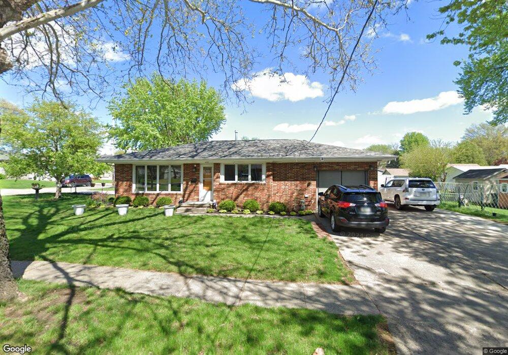
4303 SW 14th St Des Moines, IA 50315
Watrous South NeighborhoodEstimated Value: $196,563 - $209,000
3
Beds
1
Bath
1,010
Sq Ft
$202/Sq Ft
Est. Value
About This Home
This home is located at 4303 SW 14th St, Des Moines, IA 50315 and is currently estimated at $204,391, approximately $202 per square foot. 4303 SW 14th St is a home located in Polk County with nearby schools including Wright Elementary School, Brody Middle School, and Lincoln High School.
Ownership History
Date
Name
Owned For
Owner Type
Purchase Details
Closed on
Jul 12, 2018
Sold by
Berardi John A and Berardi Bauathong T
Bought by
Luong Khouang V
Current Estimated Value
Purchase Details
Closed on
Jun 10, 2004
Sold by
Berardi Anthony S and Berardi Sally L
Bought by
Berardi John A and Berardi Bouathong T
Purchase Details
Closed on
Jul 17, 2000
Sold by
Berardi Anthony S and Berardi Vincent John
Bought by
Berardi John A
Home Financials for this Owner
Home Financials are based on the most recent Mortgage that was taken out on this home.
Original Mortgage
$65,000
Interest Rate
10%
Create a Home Valuation Report for This Property
The Home Valuation Report is an in-depth analysis detailing your home's value as well as a comparison with similar homes in the area
Home Values in the Area
Average Home Value in this Area
Purchase History
| Date | Buyer | Sale Price | Title Company |
|---|---|---|---|
| Luong Khouang V | -- | None Available | |
| Berardi John A | $74,500 | -- | |
| Berardi John A | $75,000 | -- |
Source: Public Records
Mortgage History
| Date | Status | Borrower | Loan Amount |
|---|---|---|---|
| Previous Owner | Berardi John A | $65,000 |
Source: Public Records
Tax History Compared to Growth
Tax History
| Year | Tax Paid | Tax Assessment Tax Assessment Total Assessment is a certain percentage of the fair market value that is determined by local assessors to be the total taxable value of land and additions on the property. | Land | Improvement |
|---|---|---|---|---|
| 2025 | $3,510 | $200,900 | $34,200 | $166,700 |
| 2024 | $3,510 | $178,400 | $30,200 | $148,200 |
| 2023 | $3,408 | $178,400 | $30,200 | $148,200 |
| 2022 | $3,382 | $144,600 | $25,400 | $119,200 |
| 2021 | $3,376 | $144,600 | $25,400 | $119,200 |
| 2020 | $3,508 | $135,300 | $23,700 | $111,600 |
| 2019 | $3,408 | $135,300 | $23,700 | $111,600 |
| 2018 | $3,374 | $126,800 | $21,700 | $105,100 |
| 2017 | $2,780 | $126,800 | $21,700 | $105,100 |
| 2016 | $2,704 | $111,300 | $19,000 | $92,300 |
| 2015 | $2,704 | $111,300 | $19,000 | $92,300 |
| 2014 | $2,516 | $107,200 | $17,900 | $89,300 |
Source: Public Records
Map
Nearby Homes
- 1219 Elder Ln
- 1223 Emma Ave
- 1607 Carrie Ave
- 1204 Elder Ln
- 4108 SW 12th St
- 1222 Watrous Ave
- 1207 Emma Ave
- 4020 SW 12th St
- 4506 Wakonda Pkwy
- 1203 Herold Ave
- 4710 SW 16th St
- 3724 SW 13th St
- 1116 Herold Ave
- 3808 SW 12th St
- 1229 Evans St
- 4916 SW 13th St
- 930 Emma Ave
- 5013 SW 16th St
- 1243 Hackley Ave
- 3514 SW 12th St