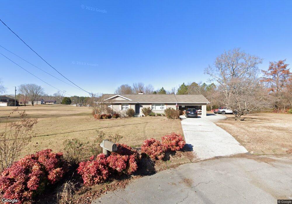
4305 Hack Rd Powell, TN 37849
Estimated Value: $362,048 - $446,000
3
Beds
2
Baths
1,350
Sq Ft
$288/Sq Ft
Est. Value
About This Home
This home is located at 4305 Hack Rd, Powell, TN 37849 and is currently estimated at $388,512, approximately $287 per square foot. 4305 Hack Rd is a home located in Knox County with nearby schools including Powell Elementary School, Powell Middle School, and Karns High School.
Ownership History
Date
Name
Owned For
Owner Type
Purchase Details
Closed on
Mar 2, 2010
Sold by
Powell Andrea R and Vaught Shirley J
Bought by
Powell Doug and Powell Andrea R
Current Estimated Value
Home Financials for this Owner
Home Financials are based on the most recent Mortgage that was taken out on this home.
Original Mortgage
$165,250
Interest Rate
4.41%
Mortgage Type
New Conventional
Purchase Details
Closed on
May 30, 2008
Sold by
Puryear Judy Moyers
Bought by
Powell Andrea R and Vaught Shirley J
Home Financials for this Owner
Home Financials are based on the most recent Mortgage that was taken out on this home.
Original Mortgage
$138,902
Interest Rate
5.86%
Mortgage Type
FHA
Create a Home Valuation Report for This Property
The Home Valuation Report is an in-depth analysis detailing your home's value as well as a comparison with similar homes in the area
Home Values in the Area
Average Home Value in this Area
Purchase History
| Date | Buyer | Sale Price | Title Company |
|---|---|---|---|
| Powell Doug | -- | None Available | |
| Powell Andrea R | $140,000 | Title Assoc Of Knoxville |
Source: Public Records
Mortgage History
| Date | Status | Borrower | Loan Amount |
|---|---|---|---|
| Closed | Powell Doug | $165,250 | |
| Closed | Powell Andrea R | $138,902 |
Source: Public Records
Tax History
| Year | Tax Paid | Tax Assessment Tax Assessment Total Assessment is a certain percentage of the fair market value that is determined by local assessors to be the total taxable value of land and additions on the property. | Land | Improvement |
|---|---|---|---|---|
| 2025 | $951 | $61,175 | $0 | $0 |
| 2024 | $951 | $61,175 | $0 | $0 |
| 2023 | $951 | $61,175 | $0 | $0 |
| 2022 | $951 | $61,175 | $0 | $0 |
| 2021 | $895 | $42,200 | $0 | $0 |
| 2020 | $895 | $42,200 | $0 | $0 |
| 2019 | $895 | $42,200 | $0 | $0 |
| 2018 | $895 | $42,200 | $0 | $0 |
| 2017 | $895 | $42,200 | $0 | $0 |
| 2016 | $882 | $0 | $0 | $0 |
| 2015 | $882 | $0 | $0 | $0 |
| 2014 | $882 | $0 | $0 | $0 |
Source: Public Records
Map
Nearby Homes
- 7221 Joyce Ln
- 7319 Woodpecker Way Unit 28
- 7325 Woodpecker Way Unit 25
- 7327 Woodpecker Way Unit 24
- 7327 Woodpecker Way
- 7308 Woodpecker Way Unit 33
- 7310 Woodpecker Way Unit 34
- 7314 Woodpecker Way Unit 35
- 7316 Woodpecker Way Unit 36
- 7318 Woodpecker Way Unit 37
- 3543 Maggie Lynn Way Unit 15
- 3541 Maggie Lynn Way
- 3541 Maggie Lynn Way Unit 14
- 3539 Maggie Lynn Way Unit 13
- 7302 Bonnie Marie Way Unit 50
- 3518 Pebblebrook Way
- 7304 Bonnie Marie Way Unit 51
- 7306 Bonnie Marie Way
- 7306 Bonnie Marie Way Unit 52
- 7303 Bonnie Marie Way Unit 49
- 7204 Della Dr
- 7224 Deville Way
- 4304 Hack Rd
- 7200 Della Dr
- 7220 Deville Way
- 7228 Deville Way
- 7206 Della Dr
- 4308 Hack Rd
- 7216 Deville Way
- 7232 Deville Way
- 4312 Hack Rd
- 7212 Deville Way
- 7236 Deville Way
- 7208 Deville Way
- 4500 Hack Rd
- 7205 Della Dr
- 7240 Deville Way
- 7201 Della Dr
- 7209 Della Dr
- 7220 Della Dr
Your Personal Tour Guide
Ask me questions while you tour the home.