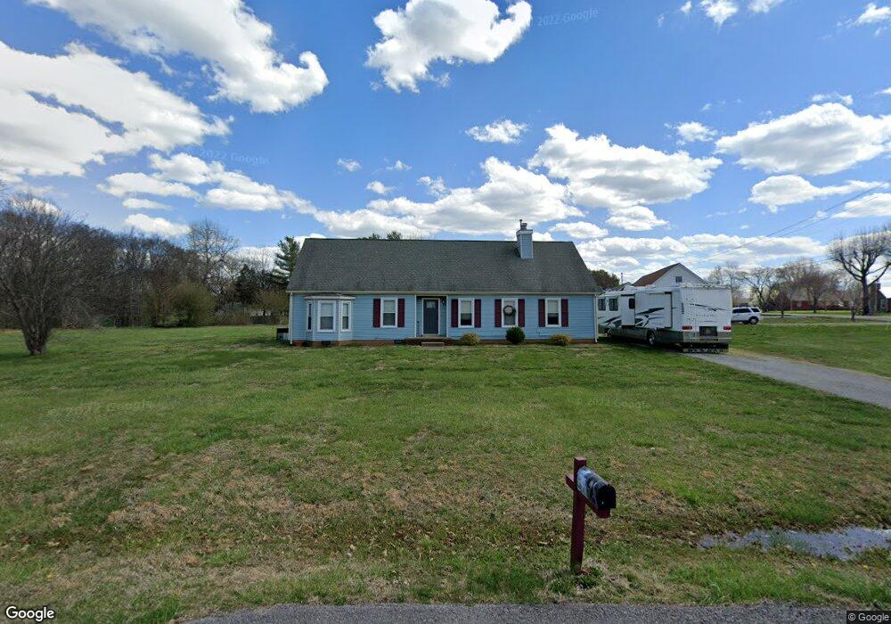
4306 Cannonwood Ct Murfreesboro, TN 37129
Estimated Value: $325,288 - $439,000
--
Bed
2
Baths
1,624
Sq Ft
$232/Sq Ft
Est. Value
About This Home
This home is located at 4306 Cannonwood Ct, Murfreesboro, TN 37129 and is currently estimated at $377,572, approximately $232 per square foot. 4306 Cannonwood Ct is a home located in Rutherford County with nearby schools including Brown's Chapel Elementary School, Stewarts Creek Middle School, and Stewarts Creek High School.
Ownership History
Date
Name
Owned For
Owner Type
Purchase Details
Closed on
May 13, 2002
Sold by
Morrow Richard L
Bought by
Lee Morrow Karen
Current Estimated Value
Purchase Details
Closed on
Sep 20, 2001
Sold by
Morrow and Karen
Bought by
Karen Morrow
Home Financials for this Owner
Home Financials are based on the most recent Mortgage that was taken out on this home.
Original Mortgage
$79,500
Interest Rate
6.89%
Create a Home Valuation Report for This Property
The Home Valuation Report is an in-depth analysis detailing your home's value as well as a comparison with similar homes in the area
Home Values in the Area
Average Home Value in this Area
Purchase History
| Date | Buyer | Sale Price | Title Company |
|---|---|---|---|
| Lee Morrow Karen | -- | -- | |
| Karen Morrow | -- | -- |
Source: Public Records
Mortgage History
| Date | Status | Borrower | Loan Amount |
|---|---|---|---|
| Previous Owner | Karen Morrow | $79,500 |
Source: Public Records
Tax History Compared to Growth
Tax History
| Year | Tax Paid | Tax Assessment Tax Assessment Total Assessment is a certain percentage of the fair market value that is determined by local assessors to be the total taxable value of land and additions on the property. | Land | Improvement |
|---|---|---|---|---|
| 2025 | $1,190 | $63,438 | $13,750 | $49,688 |
| 2024 | $1,190 | $63,438 | $13,750 | $49,688 |
| 2023 | $1,190 | $63,438 | $13,750 | $49,688 |
| 2022 | $1,025 | $63,438 | $13,750 | $49,688 |
| 2021 | $985 | $44,388 | $9,250 | $35,138 |
| 2020 | $985 | $44,388 | $9,250 | $35,138 |
| 2019 | $985 | $44,388 | $9,250 | $35,138 |
| 2018 | $932 | $44,388 | $0 | $0 |
| 2017 | $848 | $31,650 | $0 | $0 |
| 2016 | $848 | $31,650 | $0 | $0 |
| 2015 | $848 | $31,650 | $0 | $0 |
| 2014 | $787 | $31,650 | $0 | $0 |
| 2013 | -- | $33,000 | $0 | $0 |
Source: Public Records
Map
Nearby Homes
- 5128 Blackman Rd
- 4316 Cannonwood Ct
- 5206 Blackman Rd
- 5118 Blackman Rd
- 4326 Cannonwood Ct
- 4323 Cannonwood Ct
- 5108 Blackman Rd
- 5011 Blackman Rd
- 4317 Highpointe Ct
- 5216 Blackman Rd
- 5107 Blackman Rd
- 4336 Cannonwood Ct
- 4343 Cannonwood Ct
- 4327 Highpointe Ct
- 5226 Blackman Rd
- 5201 Blackman Rd
- 5015 Blackman Rd
- 5311 W Calgary
- 4346 Cannonwood Ct
- 4310 Highpointe Ct