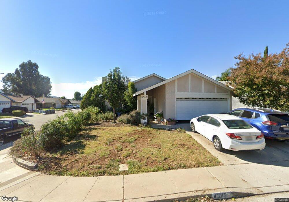
4307 Fireside Ln Moorpark, CA 93021
Estimated Value: $722,000 - $766,000
4
Beds
2
Baths
1,310
Sq Ft
$570/Sq Ft
Est. Value
About This Home
This home is located at 4307 Fireside Ln, Moorpark, CA 93021 and is currently estimated at $746,927, approximately $570 per square foot. 4307 Fireside Ln is a home located in Ventura County with nearby schools including Peach Hill Academy, Mesa Verde Middle School, and Moorpark High School.
Ownership History
Date
Name
Owned For
Owner Type
Purchase Details
Closed on
Mar 24, 2004
Sold by
Yoshiwara Dean and Yoshiwara Christine E
Bought by
Yoshiwara Dean and Yoshiwara Christine E
Current Estimated Value
Home Financials for this Owner
Home Financials are based on the most recent Mortgage that was taken out on this home.
Original Mortgage
$333,000
Interest Rate
5.57%
Mortgage Type
New Conventional
Create a Home Valuation Report for This Property
The Home Valuation Report is an in-depth analysis detailing your home's value as well as a comparison with similar homes in the area
Home Values in the Area
Average Home Value in this Area
Purchase History
| Date | Buyer | Sale Price | Title Company |
|---|---|---|---|
| Yoshiwara Dean | -- | Ticor Title Company |
Source: Public Records
Mortgage History
| Date | Status | Borrower | Loan Amount |
|---|---|---|---|
| Closed | Yoshiwara Dean | $333,000 |
Source: Public Records
Tax History Compared to Growth
Tax History
| Year | Tax Paid | Tax Assessment Tax Assessment Total Assessment is a certain percentage of the fair market value that is determined by local assessors to be the total taxable value of land and additions on the property. | Land | Improvement |
|---|---|---|---|---|
| 2025 | $1,673 | $153,749 | $36,657 | $117,092 |
| 2024 | $1,673 | $150,735 | $35,938 | $114,797 |
| 2023 | $1,635 | $147,780 | $35,233 | $112,547 |
| 2022 | $1,592 | $144,883 | $34,542 | $110,341 |
| 2021 | $1,586 | $142,043 | $33,865 | $108,178 |
| 2020 | $1,570 | $140,589 | $33,519 | $107,070 |
| 2019 | $1,535 | $137,833 | $32,862 | $104,971 |
| 2018 | $1,517 | $135,131 | $32,218 | $102,913 |
| 2017 | $1,485 | $132,483 | $31,587 | $100,896 |
| 2016 | $1,456 | $129,886 | $30,968 | $98,918 |
| 2015 | $1,435 | $127,936 | $30,503 | $97,433 |
| 2014 | $1,397 | $125,431 | $29,906 | $95,525 |
Source: Public Records
Map
Nearby Homes
- 4175 Shady Point Dr
- 13191 Honeybee St
- 13729 Bear Valley Rd
- 13749 Gunsmoke Rd
- 4506 N Canyonlands Rd
- 4540 Mill Valley Rd
- 4529 N Canyonlands Rd
- 3821 Hidden Pine Ct
- 150 Majestic Ct Unit 1102
- 3919 Southhampton Rd
- 4543 Silverbell Cir
- 13191 Westcott Ct
- 4007 Doneva Rd
- 13545 Nightsky Dr
- 12490 Spring Creek Rd
- 3891 Hunters Grove Ct
- 12576 Cherry Grove St
- 540 Spring Rd Unit 93
- 540 Spring Rd Unit 94
- 4104 Dakota Dr
- 4315 Fireside Ln
- 4321 Fireside Ln
- 4306 Kimberwick Ln
- 4314 Kimberwick Ln
- 13384 E Quail Summit Rd
- 13376 E Quail Summit Rd
- 13396 E Quail Summit Rd
- 4320 Kimberwick Ln
- 4329 Fireside Ln
- 4308 Fireside Ln
- 4316 Fireside Ln
- 13368 E Quail Summit Rd
- 13400 E Quail Summit Rd
- 4322 Fireside Ln
- 4328 Kimberwick Ln
- 13356 E Quail Summit Rd
- 4335 Fireside Ln
- 13430 E Quail Summit Rd
- 4330 Fireside Ln
- 4334 Kimberwick Ln