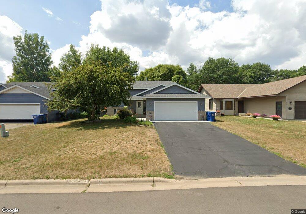
431 13th Ave S Sauk Rapids, MN 56379
Estimated Value: $257,000 - $266,000
4
Beds
1
Bath
904
Sq Ft
$291/Sq Ft
Est. Value
About This Home
This home is located at 431 13th Ave S, Sauk Rapids, MN 56379 and is currently estimated at $262,967, approximately $290 per square foot. 431 13th Ave S is a home located in Benton County with nearby schools including Mississippi Heights Elementary School, Sauk Rapids-Rice Middle School, and Sauk Rapids-Rice Senior High School.
Ownership History
Date
Name
Owned For
Owner Type
Purchase Details
Closed on
Mar 6, 2008
Sold by
Federal National Mortgage Association
Bought by
Elwood Jamie L and Campion Madeline L
Current Estimated Value
Home Financials for this Owner
Home Financials are based on the most recent Mortgage that was taken out on this home.
Original Mortgage
$117,500
Outstanding Balance
$73,201
Interest Rate
5.74%
Mortgage Type
New Conventional
Estimated Equity
$189,766
Purchase Details
Closed on
Apr 24, 2007
Sold by
Phh Mortgage Corp
Bought by
Federal Nationl Mortgage Assn
Create a Home Valuation Report for This Property
The Home Valuation Report is an in-depth analysis detailing your home's value as well as a comparison with similar homes in the area
Home Values in the Area
Average Home Value in this Area
Purchase History
| Date | Buyer | Sale Price | Title Company |
|---|---|---|---|
| Elwood Jamie L | -- | -- | |
| Federal Nationl Mortgage Assn | -- | -- |
Source: Public Records
Mortgage History
| Date | Status | Borrower | Loan Amount |
|---|---|---|---|
| Open | Elwood Jamie L | $117,500 |
Source: Public Records
Tax History Compared to Growth
Tax History
| Year | Tax Paid | Tax Assessment Tax Assessment Total Assessment is a certain percentage of the fair market value that is determined by local assessors to be the total taxable value of land and additions on the property. | Land | Improvement |
|---|---|---|---|---|
| 2025 | $3,050 | $243,000 | $29,800 | $213,200 |
| 2024 | $2,982 | $229,800 | $29,800 | $200,000 |
| 2023 | $2,876 | $226,800 | $29,800 | $197,000 |
| 2022 | $2,282 | $199,800 | $27,100 | $172,700 |
| 2021 | $2,076 | $172,700 | $27,100 | $145,600 |
| 2018 | $1,770 | $116,600 | $21,568 | $95,032 |
| 2017 | $1,770 | $106,500 | $21,074 | $85,426 |
| 2016 | $1,722 | $128,900 | $26,100 | $102,800 |
| 2015 | $1,710 | $93,100 | $20,317 | $72,783 |
| 2014 | -- | $88,300 | $20,005 | $68,295 |
| 2013 | -- | $89,400 | $20,080 | $69,320 |
Source: Public Records
Map
Nearby Homes
- 1 Skyview Dr
- 1021 5th St S
- 1000 10th Ave NE
- 1804 8th Ave S
- 1803 8th Ave S
- 608 Summit Ave S
- 1294 Stone Ridge Rd
- 100 9th Ave S
- 112 Summit Ave S
- 1424 Hillside Ct
- 1408 10th St NE
- 1409 3rd Ave S
- xxx Lot 3
- 970 Golden Spike Rd NE
- 880 Golden Spike Rd NE
- 117 6th Ave N
- 430 5th Ave NE
- xxx Lot 2
- 116 Columbia Ave NE
- 526 4th Ave NE
- 433 13th Ave S
- 433 433 13th-Avenue-s
- 429 13th Ave S
- 429 429 13th-Avenue-s
- 437 13th Ave S
- 427 13th Ave S
- 432 13th Ave S
- 434 13th Ave S
- 425 13th Ave S
- 439 13th Ave S
- 430 13th Ave S
- 436 13th Ave S
- 428 13th Ave S
- 423 13th Ave S
- 438 13th Ave S
- 441 13th Ave S
- 426 13th Ave S
- 440 13th Ave S
- 424 13th Ave S
- 445 13th Ave S