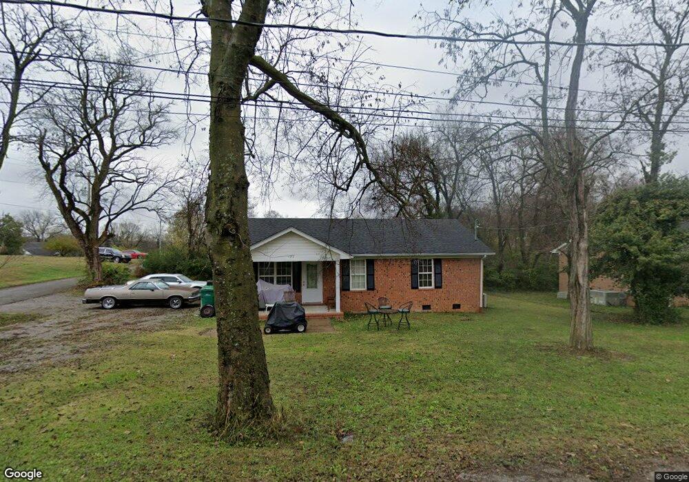
431 6th Ave N Lewisburg, TN 37091
Estimated Value: $182,106 - $224,000
--
Bed
1
Bath
1,100
Sq Ft
$191/Sq Ft
Est. Value
About This Home
This home is located at 431 6th Ave N, Lewisburg, TN 37091 and is currently estimated at $209,777, approximately $190 per square foot. 431 6th Ave N is a home located in Marshall County with nearby schools including Marshall Elementary School, Oak Grove Elementary School, and Westhills Elementary School.
Ownership History
Date
Name
Owned For
Owner Type
Purchase Details
Closed on
Dec 14, 1999
Sold by
Tankersley and Lynn
Bought by
Tankersley and Lynn
Current Estimated Value
Purchase Details
Closed on
Nov 16, 1999
Sold by
Tankersley Edward B
Bought by
Tankersley and Lynn
Purchase Details
Closed on
Oct 30, 1997
Sold by
Gillespie John H
Bought by
Henry Gillespie John
Purchase Details
Closed on
Jul 8, 1995
Bought by
Gillespie John H and Williams Jerry T
Purchase Details
Closed on
Sep 29, 1994
Bought by
Denton Curtis S and Denton Beverly D
Create a Home Valuation Report for This Property
The Home Valuation Report is an in-depth analysis detailing your home's value as well as a comparison with similar homes in the area
Home Values in the Area
Average Home Value in this Area
Purchase History
| Date | Buyer | Sale Price | Title Company |
|---|---|---|---|
| Tankersley | -- | -- | |
| Tankersley | -- | -- | |
| Henry Gillespie John | -- | -- | |
| Gillespie John H | $15,900 | -- | |
| Denton Curtis S | $10,000 | -- |
Source: Public Records
Tax History Compared to Growth
Tax History
| Year | Tax Paid | Tax Assessment Tax Assessment Total Assessment is a certain percentage of the fair market value that is determined by local assessors to be the total taxable value of land and additions on the property. | Land | Improvement |
|---|---|---|---|---|
| 2024 | -- | $32,650 | $3,125 | $29,525 |
| 2023 | $1,014 | $32,650 | $3,125 | $29,525 |
| 2022 | $1,014 | $32,650 | $3,125 | $29,525 |
| 2021 | $873 | $18,775 | $1,575 | $17,200 |
| 2020 | $873 | $18,775 | $1,575 | $17,200 |
| 2019 | $845 | $18,775 | $1,575 | $17,200 |
| 2018 | $836 | $18,775 | $1,575 | $17,200 |
| 2017 | $836 | $18,775 | $1,575 | $17,200 |
| 2016 | $818 | $15,975 | $1,625 | $14,350 |
| 2015 | $746 | $15,975 | $1,625 | $14,350 |
| 2014 | $746 | $15,975 | $1,625 | $14,350 |
Source: Public Records
Map
Nearby Homes
- 0 New Lake Rd Unit RTC3030964
- 726 Thomas Ave
- 594 5th Ave N
- 630 6th Ave N
- 215 5th Ave N
- 627 6th Ave N
- 316 Haynes St
- 543 2nd Ave N
- 518 Maple St
- 416 1st Ave N
- 319 Greenwood St
- 525 Maple St
- 638 2nd Ave N
- 610 Forrest St
- 231 Greenwood St
- 319 E Hill Ave
- 1111 W End Ave N
- 1144 Apple St
- 117 W End Ave N
- 1600 Larry Dospil Dr
- 421 6th Ave N
- 0 6th Ave N Unit 1708336
- 531 College St
- 411 6th Ave N
- 529 Mcdowell Ln
- 523 Mcdowell Ln
- 534 Silver St
- 548 Silver St
- 602 Silver St
- 524 Silver St
- 528 Mcdowell Ln
- 535 Mcdowell Ln
- 0 Silver St Unit 1942792
- 0 Silver St Unit 1746239
- 512 College St
- 610 Silver St
- 456 5th Ave N
- 502 6th Ave N
- 518 Mcdowell Ln
- 462 5th Ave N