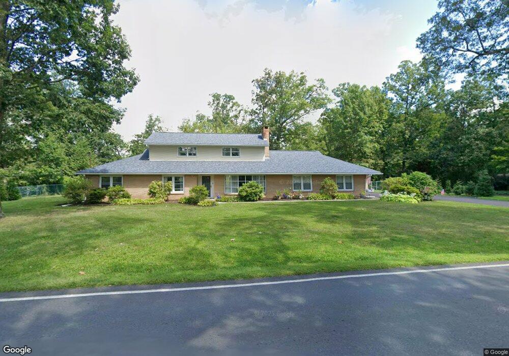
431 Cowpath Rd Souderton, PA 18964
Estimated Value: $483,000 - $552,000
4
Beds
3
Baths
2,162
Sq Ft
$246/Sq Ft
Est. Value
About This Home
This home is located at 431 Cowpath Rd, Souderton, PA 18964 and is currently estimated at $531,408, approximately $245 per square foot. 431 Cowpath Rd is a home located in Montgomery County with nearby schools including Franconia Elementary School, Indian Crest Middle School, and Souderton Area Senior High School.
Ownership History
Date
Name
Owned For
Owner Type
Purchase Details
Closed on
Jan 16, 2004
Sold by
Reinsons Ivars J and Reinsons Nora B
Bought by
Suermann Laura B
Current Estimated Value
Home Financials for this Owner
Home Financials are based on the most recent Mortgage that was taken out on this home.
Original Mortgage
$135,000
Outstanding Balance
$62,784
Interest Rate
5.82%
Estimated Equity
$468,624
Purchase Details
Closed on
Dec 13, 2000
Sold by
Reinsons Juris and Reinsons Nora B
Bought by
Reinsons Nora
Create a Home Valuation Report for This Property
The Home Valuation Report is an in-depth analysis detailing your home's value as well as a comparison with similar homes in the area
Home Values in the Area
Average Home Value in this Area
Purchase History
| Date | Buyer | Sale Price | Title Company |
|---|---|---|---|
| Suermann Laura B | $225,000 | -- | |
| Reinsons Nora | -- | -- |
Source: Public Records
Mortgage History
| Date | Status | Borrower | Loan Amount |
|---|---|---|---|
| Open | Suermann Laura B | $135,000 |
Source: Public Records
Tax History Compared to Growth
Tax History
| Year | Tax Paid | Tax Assessment Tax Assessment Total Assessment is a certain percentage of the fair market value that is determined by local assessors to be the total taxable value of land and additions on the property. | Land | Improvement |
|---|---|---|---|---|
| 2025 | $6,928 | $172,500 | $61,820 | $110,680 |
| 2024 | $6,928 | $172,500 | $61,820 | $110,680 |
| 2023 | $6,610 | $172,500 | $61,820 | $110,680 |
| 2022 | $6,409 | $172,500 | $61,820 | $110,680 |
| 2021 | $6,274 | $172,500 | $61,820 | $110,680 |
| 2020 | $6,189 | $172,500 | $61,820 | $110,680 |
| 2019 | $5,649 | $172,500 | $61,820 | $110,680 |
| 2018 | $6,114 | $172,500 | $61,820 | $110,680 |
| 2017 | $5,961 | $172,500 | $61,820 | $110,680 |
| 2016 | $5,894 | $172,500 | $61,820 | $110,680 |
| 2015 | $5,734 | $172,500 | $61,820 | $110,680 |
| 2014 | $5,734 | $172,500 | $61,820 | $110,680 |
Source: Public Records
Map
Nearby Homes
- 3443 Devlin Way
- 554 Harleysville Pike
- 478 Smokepipe Rd
- 171 Hopewell Ln Unit B
- 314 Harleysville Pike
- 103 Arlington Ln
- 44 Diamond St
- 223 W Reliance Rd
- 227 Ridge Ave
- 196 Penn Ave
- 124 Hollybush Cir
- 340 S Main St
- 44 Adams Ave
- 100 Anjou Ct
- 17 N 2nd St
- 119 121 E Broad St
- 3 Carousel Dr
- 208 E Broad St
- 438 N Main St
- 51 Cambridge Ct Unit 51
- 184 Harleysville Pike
- 196 Harleysville Pike
- 427 Cowpath Rd
- 405 Smokepipe Rd
- 421 Cowpath Rd
- 202 Harleysville Pike
- 180 Harleysville Pike
- 376 Oak Dr
- 176 Harleysville Pike
- 417 Cowpath Rd
- 151 Harleysville Pike
- 208 Harleysville Pike
- 174 Harleysville Pike
- 195 Harleysville Pike Unit 4
- 197 Harleysville Pike
- 377 Oak Dr
- 409 Smokepipe Rd
- 187 Harleysville Pike
- 411 Cowpath Rd
- 372 Oak Dr