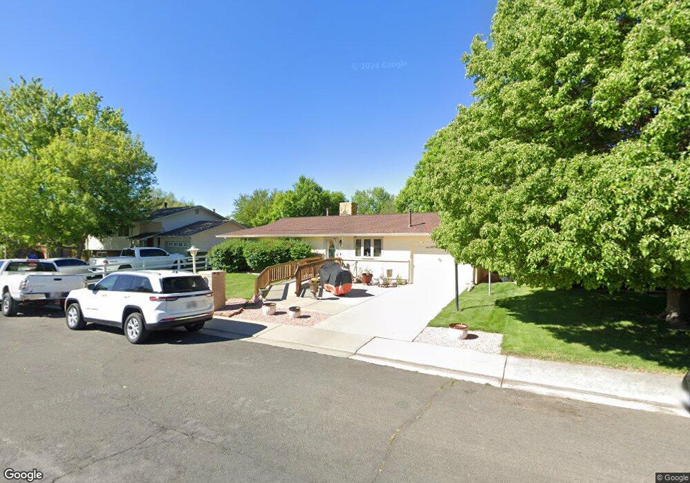
431 Morgan Rd Longmont, CO 80504
Kensington NeighborhoodEstimated Value: $476,578 - $517,000
5
Beds
2
Baths
1,075
Sq Ft
$461/Sq Ft
Est. Value
About This Home
This home is located at 431 Morgan Rd, Longmont, CO 80504 and is currently estimated at $495,145, approximately $460 per square foot. 431 Morgan Rd is a home located in Boulder County with nearby schools including Rocky Mountain Elementary School, Trail Ridge Middle School, and Skyline High School.
Ownership History
Date
Name
Owned For
Owner Type
Purchase Details
Closed on
May 31, 2000
Sold by
Rocky Mountain Refuge
Bought by
Lentz John F
Current Estimated Value
Home Financials for this Owner
Home Financials are based on the most recent Mortgage that was taken out on this home.
Original Mortgage
$162,413
Outstanding Balance
$53,729
Interest Rate
8.17%
Mortgage Type
FHA
Estimated Equity
$441,416
Purchase Details
Closed on
Aug 1, 1999
Sold by
Mcdonald Brian R
Bought by
Rocky Mountain Refuge
Purchase Details
Closed on
Nov 30, 1994
Sold by
Gerber John M and Gerber Jean L
Bought by
Mcdonald Brian R
Home Financials for this Owner
Home Financials are based on the most recent Mortgage that was taken out on this home.
Original Mortgage
$104,400
Interest Rate
8.99%
Purchase Details
Closed on
Mar 31, 1982
Bought by
Lentz John F and Lentz Diane M
Create a Home Valuation Report for This Property
The Home Valuation Report is an in-depth analysis detailing your home's value as well as a comparison with similar homes in the area
Home Values in the Area
Average Home Value in this Area
Purchase History
| Date | Buyer | Sale Price | Title Company |
|---|---|---|---|
| Lentz John F | $163,500 | Land Title | |
| Rocky Mountain Refuge | -- | -- | |
| Mcdonald Brian R | $116,000 | Commonwealth Land Title Ins | |
| Lentz John F | $71,500 | -- |
Source: Public Records
Mortgage History
| Date | Status | Borrower | Loan Amount |
|---|---|---|---|
| Open | Lentz John F | $162,413 | |
| Previous Owner | Mcdonald Brian R | $104,400 |
Source: Public Records
Tax History
| Year | Tax Paid | Tax Assessment Tax Assessment Total Assessment is a certain percentage of the fair market value that is determined by local assessors to be the total taxable value of land and additions on the property. | Land | Improvement |
|---|---|---|---|---|
| 2025 | $2,592 | $28,507 | $11,388 | $17,119 |
| 2024 | $2,592 | $28,507 | $11,388 | $17,119 |
| 2023 | $2,556 | $27,095 | $12,442 | $18,338 |
| 2022 | $2,274 | $22,976 | $8,722 | $14,254 |
| 2021 | $2,303 | $23,638 | $8,973 | $14,665 |
| 2020 | $1,858 | $19,127 | $7,651 | $11,476 |
| 2019 | $1,829 | $19,127 | $7,651 | $11,476 |
| 2018 | $1,734 | $18,252 | $6,480 | $11,772 |
| 2017 | $1,710 | $20,179 | $7,164 | $13,015 |
| 2016 | $1,579 | $16,517 | $5,890 | $10,627 |
| 2015 | $1,504 | $13,564 | $4,537 | $9,027 |
| 2014 | $1,267 | $13,564 | $4,537 | $9,027 |
Source: Public Records
Map
Nearby Homes
- 737 Goss Dr
- 524 Rider Ridge Dr
- 613 Rider Ridge Dr
- 631 Rider Ridge Rd
- 262 E 5th Ave
- 240 Wadsworth Cir
- 1615 Stardance Cir
- 265 High Point Dr Unit F-302
- 265 High Point Dr Unit 201
- 265 High Point Dr Unit 204
- 265 High Point Dr Unit 203
- 265 High Point Dr Unit 207
- 902 Sugar Mill Ave
- 820 Brookside Dr
- 245 High Point Dr Unit 104
- 244 Sorento Place
- 1267 E 9th Ave
- 235 High Point Dr Unit 204
- 235 High Point Dr Unit 206
- 235 High Point Dr Unit 102
Your Personal Tour Guide
Ask me questions while you tour the home.