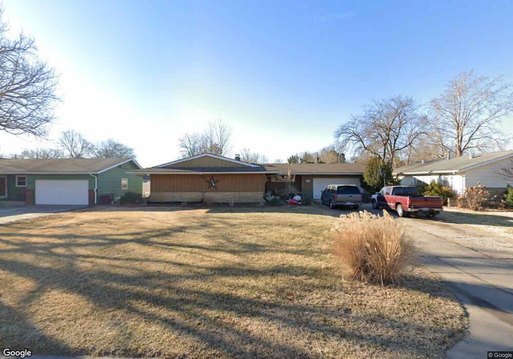
431 N Pamela Ave Wichita, KS 67212
Westlink NeighborhoodEstimated Value: $270,164 - $298,000
4
Beds
2
Baths
1,560
Sq Ft
$182/Sq Ft
Est. Value
About This Home
This home is located at 431 N Pamela Ave, Wichita, KS 67212 and is currently estimated at $284,082, approximately $182 per square foot. 431 N Pamela Ave is a home located in Sedgwick County with nearby schools including Peterson Elementary School, Wilbur Middle School, and Wichita Northwest High School.
Ownership History
Date
Name
Owned For
Owner Type
Purchase Details
Closed on
Feb 13, 2008
Sold by
Griffith Earl F and Griffith Jante W
Bought by
Hernandez Larry G and Hernandez Mary S
Current Estimated Value
Home Financials for this Owner
Home Financials are based on the most recent Mortgage that was taken out on this home.
Original Mortgage
$127,794
Outstanding Balance
$78,088
Interest Rate
5.47%
Mortgage Type
FHA
Estimated Equity
$205,994
Purchase Details
Closed on
Apr 29, 1998
Sold by
Grabill Ruth J
Bought by
Griffith Earl F and Griffith Jane W
Home Financials for this Owner
Home Financials are based on the most recent Mortgage that was taken out on this home.
Original Mortgage
$79,200
Interest Rate
6.94%
Create a Home Valuation Report for This Property
The Home Valuation Report is an in-depth analysis detailing your home's value as well as a comparison with similar homes in the area
Home Values in the Area
Average Home Value in this Area
Purchase History
| Date | Buyer | Sale Price | Title Company |
|---|---|---|---|
| Hernandez Larry G | -- | None Available | |
| Griffith Earl F | -- | -- |
Source: Public Records
Mortgage History
| Date | Status | Borrower | Loan Amount |
|---|---|---|---|
| Open | Hernandez Larry G | $127,794 | |
| Previous Owner | Griffith Earl F | $79,200 |
Source: Public Records
Tax History Compared to Growth
Tax History
| Year | Tax Paid | Tax Assessment Tax Assessment Total Assessment is a certain percentage of the fair market value that is determined by local assessors to be the total taxable value of land and additions on the property. | Land | Improvement |
|---|---|---|---|---|
| 2025 | $2,659 | $26,922 | $6,866 | $20,056 |
| 2023 | $2,659 | $24,702 | $4,025 | $20,677 |
| 2022 | $2,543 | $22,816 | $3,795 | $19,021 |
| 2021 | $2,438 | $21,322 | $3,163 | $18,159 |
| 2020 | $2,330 | $20,310 | $3,163 | $17,147 |
| 2019 | $2,138 | $18,631 | $3,163 | $15,468 |
| 2018 | $2,040 | $17,745 | $2,496 | $15,249 |
| 2017 | $1,962 | $0 | $0 | $0 |
| 2016 | $1,901 | $0 | $0 | $0 |
| 2015 | $1,927 | $0 | $0 | $0 |
| 2014 | $1,888 | $0 | $0 | $0 |
Source: Public Records
Map
Nearby Homes
- 300 N Wood Ave
- 31 W Rolling Hills Ct
- 133 N Arcadia St
- 324 N Fairway Ave
- 115 N Westfield St
- 9620 W Tee Ln
- 9111 W Douglas Ave
- 9109 W Douglas Ave
- 380 & 382 N Country Acres
- 8421 W Murdock St
- 967 N Robin Rd
- 860 N Valleyview St
- 408 S Turquoise St
- 238 N Mesa St
- 141 N Muirfield St
- 229 S Gleneagles Ct
- 1112 N Westfield Ave
- 980 N Brownthrush Ln
- 949 N Country Acres Ave
- 105 S Brownthrush Cir
- 435 N Pamela Ave
- 427 N Pamela Ave
- 423 N Pamela Ave
- 441 N Pamela Ave
- 14 W Rolling Hills Dr
- 10 W Rolling Hills Dr
- 401 N Peterson Ave
- 417 N Pamela Ave
- 400 N Peterson Ave
- 447 N Pamela Ave
- 442 N Pamela Ave
- 413 N Pamela Ave
- 16 W Rolling Hills Dr
- 420 N Pamela Ave
- 453 N Pamela Ave
- 430 N Peterson Ave
- 11 W Rolling Hills Dr
- 448 N Pamela Ave
- 427 N Peterson Ave
- 13 W Rolling Hills Dr