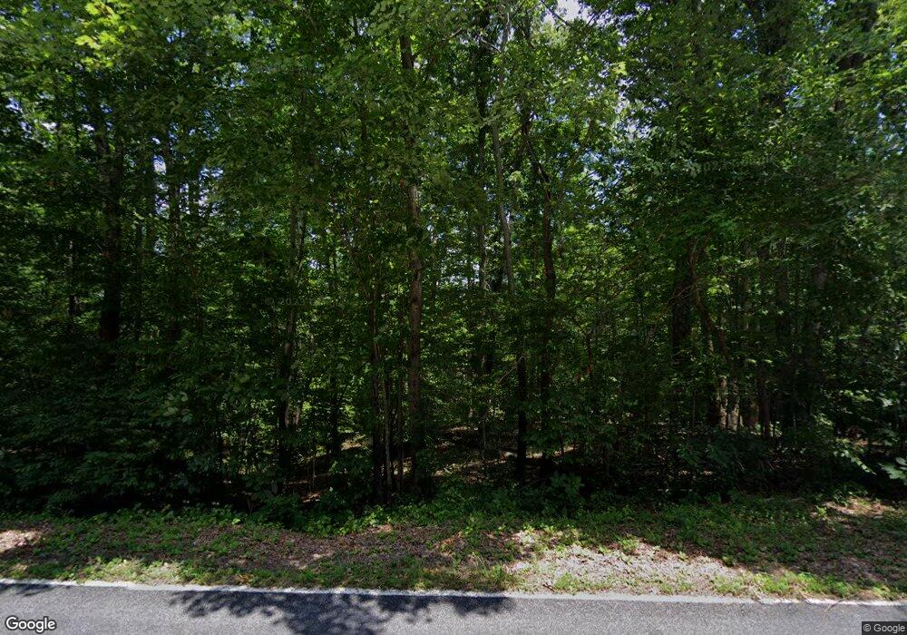
431 Neal Rd Madison, NC 27025
Estimated Value: $347,000 - $496,904
--
Bed
--
Bath
1,662
Sq Ft
$260/Sq Ft
Est. Value
About This Home
This home is located at 431 Neal Rd, Madison, NC 27025 and is currently estimated at $432,301, approximately $260 per square foot. 431 Neal Rd is a home located in Rockingham County with nearby schools including Bethany Elementary School, Rockingham County Middle School, and Rockingham County High School.
Ownership History
Date
Name
Owned For
Owner Type
Purchase Details
Closed on
Sep 1, 2010
Sold by
Ketrow John W and Ketrow Dabney G
Bought by
Cromer Paul Joseph
Current Estimated Value
Home Financials for this Owner
Home Financials are based on the most recent Mortgage that was taken out on this home.
Original Mortgage
$188,000
Interest Rate
4.59%
Mortgage Type
New Conventional
Create a Home Valuation Report for This Property
The Home Valuation Report is an in-depth analysis detailing your home's value as well as a comparison with similar homes in the area
Home Values in the Area
Average Home Value in this Area
Purchase History
| Date | Buyer | Sale Price | Title Company |
|---|---|---|---|
| Cromer Paul Joseph | $235,000 | None Available |
Source: Public Records
Mortgage History
| Date | Status | Borrower | Loan Amount |
|---|---|---|---|
| Closed | Cromer Paul Joseph | $188,000 |
Source: Public Records
Tax History Compared to Growth
Tax History
| Year | Tax Paid | Tax Assessment Tax Assessment Total Assessment is a certain percentage of the fair market value that is determined by local assessors to be the total taxable value of land and additions on the property. | Land | Improvement |
|---|---|---|---|---|
| 2025 | $2,802 | $397,428 | $71,948 | $325,480 |
| 2024 | $2,626 | $397,428 | $71,948 | $325,480 |
| 2023 | $1,910 | $237,275 | $45,785 | $191,490 |
| 2022 | $1,940 | $237,275 | $45,785 | $191,490 |
| 2021 | $1,910 | $237,275 | $45,785 | $191,490 |
| 2020 | $1,950 | $237,275 | $45,785 | $191,490 |
| 2019 | $1,945 | $237,275 | $45,785 | $191,490 |
| 2018 | $1,821 | $221,577 | $49,244 | $172,333 |
| 2017 | $1,821 | $221,577 | $49,244 | $172,333 |
| 2015 | $1,829 | $221,577 | $49,244 | $172,333 |
| 2014 | $1,811 | $221,577 | $49,244 | $172,333 |
Source: Public Records
Map
Nearby Homes
- 834 Neal Rd
- 0 Griffin Rd
- 1264 Washburn Rd
- 460 Gold Hill Rd
- 120 Scenic View Trail
- 228 Sitting Rock Dr
- 183 Providence Trail
- 152 Providence Trail
- 192 Providence Trail
- 624 Lowe Rd
- 184 Providence Trail
- 588 Lowe Rd
- 129 Bethel Trace
- Farrington Plan at Levington
- Monteclaire Plan at Levington
- Kameron Plan at Levington
- Beddingfield Plan at Levington
- Abbington Plan at Levington
- Preston Plan at Levington
- 105 Levington Way
- 360 Neal Rd
- 410 Neal Rd
- 441 Neal Rd
- 430 Neal Rd
- 501 Neal Rd
- 670 Kallam Mill Rd
- 349 Neal Rd
- 440 Neal Rd
- 711 Neal Rd Unit Tact 5
- 711 Neal Rd Unit Tract A
- 539 Neal Rd
- 13 acres Neal Rd
- 240 Neal Rd
- 7.58 acres Neal Rd
- 542 Neal Rd
- 600 Kallam Mill Rd
- 573 Neal Rd
- Lot 4 Kallam Mill Rd
- 0 Kallam Mill Rd
- 000 Kallam Mill
