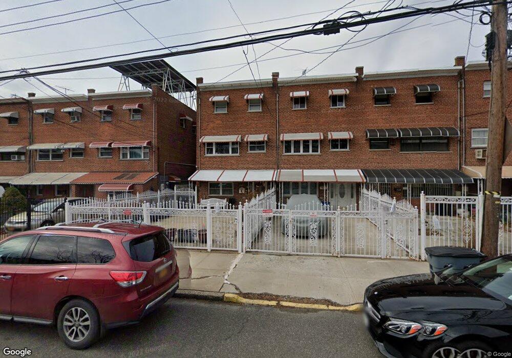
431 Olmstead Ave Bronx, NY 10473
Castle Hill NeighborhoodEstimated Value: $577,940 - $716,000
Studio
--
Bath
1,594
Sq Ft
$417/Sq Ft
Est. Value
About This Home
This home is located at 431 Olmstead Ave, Bronx, NY 10473 and is currently estimated at $665,235, approximately $417 per square foot. 431 Olmstead Ave is a home located in Bronx County with nearby schools including P.S. 182.
Ownership History
Date
Name
Owned For
Owner Type
Purchase Details
Closed on
Aug 31, 2000
Sold by
Harris Steven and Harris Audrey
Bought by
Murillo George and Murillo Evelyn
Current Estimated Value
Home Financials for this Owner
Home Financials are based on the most recent Mortgage that was taken out on this home.
Original Mortgage
$144,000
Interest Rate
7.64%
Create a Home Valuation Report for This Property
The Home Valuation Report is an in-depth analysis detailing your home's value as well as a comparison with similar homes in the area
Home Values in the Area
Average Home Value in this Area
Purchase History
| Date | Buyer | Sale Price | Title Company |
|---|---|---|---|
| Murillo George | $180,000 | Fidelity National Title Ins | |
| Murillo George | -- | Fidelity National Title Ins |
Source: Public Records
Mortgage History
| Date | Status | Borrower | Loan Amount |
|---|---|---|---|
| Closed | Murillo George | $144,000 |
Source: Public Records
Tax History
| Year | Tax Paid | Tax Assessment Tax Assessment Total Assessment is a certain percentage of the fair market value that is determined by local assessors to be the total taxable value of land and additions on the property. | Land | Improvement |
|---|---|---|---|---|
| 2025 | $4,248 | $23,903 | $4,095 | $19,808 |
| 2024 | $4,248 | $22,550 | $3,693 | $18,857 |
| 2023 | $4,208 | $22,118 | $3,827 | $18,291 |
| 2022 | $3,910 | $30,300 | $6,240 | $24,060 |
| 2021 | $4,140 | $31,140 | $6,240 | $24,900 |
| 2020 | $3,920 | $28,380 | $6,240 | $22,140 |
| 2019 | $3,638 | $25,140 | $6,240 | $18,900 |
| 2018 | $3,460 | $18,432 | $4,687 | $13,745 |
| 2017 | $3,458 | $18,432 | $4,757 | $13,675 |
| 2016 | $3,207 | $17,594 | $4,919 | $12,675 |
| 2015 | $1,886 | $16,599 | $6,152 | $10,447 |
| 2014 | $1,886 | $15,660 | $6,960 | $8,700 |
Source: Public Records
Map
Nearby Homes
- 423 Olmstead Ave
- 2114 Lacombe Ave
- 433 Howe Ave Unit A
- 443 Howe Ave
- 2076 Caesar Place
- 422 Castle Hill Ave
- 2096 Randall Ave
- 2228 Norton Ave
- 430 Turneur Ave
- 234 Betts Ave
- 2242 Lacombe Ave
- 260 Zerega Ave
- 321 Newman Ave
- 437 Zerega Ave
- 1907 Lacombe Ave
- 227 Stephens Ave
- 252 Soundview Ave
- 246 Soundview Ave
- 444 Underhill Ave
- 356 Underhill Ave
- 433 Olmstead Ave
- 429 Olmstead Ave
- 435 Olmstead Ave
- 427 Olmstead Ave
- 437 Olmstead Ave
- 425 Olmstead Ave
- 439 Olmstead Ave
- 441 Olmstead Ave
- 421 Olmstead Ave
- 426 Screvin Ave
- 443 Olmstead Ave
- 424 Screvin Ave
- 428 Screvin Ave
- 419 Olmstead Ave
- 430 Screvin Ave
- 420 Screvin Ave Unit 2
- 420 Screvin Ave
- 432 Screvin Ave
- 417 Olmstead Ave
- 445 Olmstead Ave
Your Personal Tour Guide
Ask me questions while you tour the home.