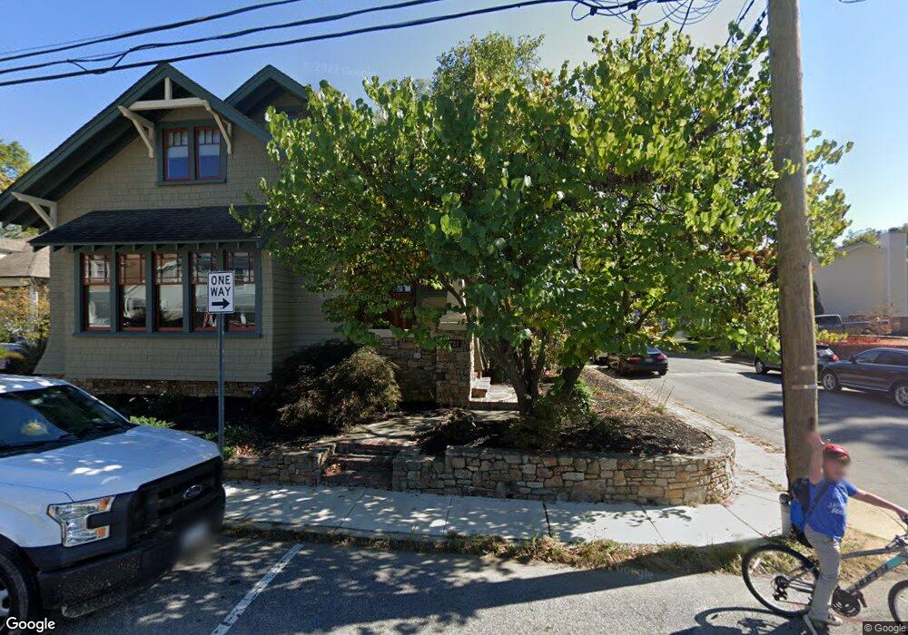
431 State St Annapolis, MD 21403
Eastport NeighborhoodEstimated Value: $826,627 - $1,096,000
--
Bed
2
Baths
1,440
Sq Ft
$694/Sq Ft
Est. Value
About This Home
This home is located at 431 State St, Annapolis, MD 21403 and is currently estimated at $999,907, approximately $694 per square foot. 431 State St is a home located in Anne Arundel County with nearby schools including Eastport Elementary School, Annapolis Middle School, and Annapolis High School.
Ownership History
Date
Name
Owned For
Owner Type
Purchase Details
Closed on
Mar 5, 2012
Sold by
Dorlon Michelle T and Dorlon Ruegg Michelle T
Bought by
Dorlon Michelle T
Current Estimated Value
Home Financials for this Owner
Home Financials are based on the most recent Mortgage that was taken out on this home.
Original Mortgage
$188,500
Outstanding Balance
$24,117
Interest Rate
3.86%
Mortgage Type
New Conventional
Estimated Equity
$975,790
Purchase Details
Closed on
Jun 16, 2004
Sold by
Ruegg Edward L
Purchase Details
Closed on
May 11, 1995
Sold by
Teter Mark S
Bought by
Ruegg Edward L
Home Financials for this Owner
Home Financials are based on the most recent Mortgage that was taken out on this home.
Original Mortgage
$114,300
Interest Rate
8.31%
Create a Home Valuation Report for This Property
The Home Valuation Report is an in-depth analysis detailing your home's value as well as a comparison with similar homes in the area
Home Values in the Area
Average Home Value in this Area
Purchase History
| Date | Buyer | Sale Price | Title Company |
|---|---|---|---|
| Dorlon Michelle T | -- | Transtar National Title | |
| -- | -- | -- | |
| Ruegg Edward L | $142,900 | -- |
Source: Public Records
Mortgage History
| Date | Status | Borrower | Loan Amount |
|---|---|---|---|
| Open | Dorlon Michelle T | $188,500 | |
| Previous Owner | Ruegg Edward L | $114,300 |
Source: Public Records
Tax History Compared to Growth
Tax History
| Year | Tax Paid | Tax Assessment Tax Assessment Total Assessment is a certain percentage of the fair market value that is determined by local assessors to be the total taxable value of land and additions on the property. | Land | Improvement |
|---|---|---|---|---|
| 2025 | $6,945 | $695,467 | -- | -- |
| 2024 | $6,945 | $656,533 | $0 | $0 |
| 2023 | $6,585 | $617,600 | $460,000 | $157,600 |
| 2022 | $6,375 | $603,033 | $0 | $0 |
| 2021 | $6,081 | $588,467 | $0 | $0 |
| 2020 | $6,081 | $573,900 | $425,000 | $148,900 |
| 2019 | $5,927 | $558,267 | $0 | $0 |
| 2018 | $5,729 | $542,633 | $0 | $0 |
| 2017 | $5,112 | $527,000 | $0 | $0 |
| 2016 | -- | $483,733 | $0 | $0 |
| 2015 | -- | $465,467 | $0 | $0 |
| 2014 | -- | $397,200 | $0 | $0 |
Source: Public Records
Map
Nearby Homes
- 10 Sailors Way
- 934 Bay Ridge Ave Unit 308
- 316 Burnside St Unit 101
- 301 Burnside St Unit C 202
- 289 State St Unit 4
- 412 Jefferson St
- 287 State St Unit 3
- 1007 Park Ave
- 320 Chester Ave
- 312 Severn Ave Unit W-401
- 215 Chester Ave
- 794 Fairview Ave Unit 794 C
- 200 Chesapeake Ave
- 120 Chesapeake Ave
- 9 Shipwright St
- 1 Shipwright Harbor
- 755 Fairview Ave Unit 755 D
- 27 Jeremys Way
- 703 Glendon Ave
- 0 Lt 115 703 Glendon Ave
- 433 State St
- 717 Bay Ridge Ave
- 721 Bay Ridge Ave
- 430 State St
- 432 State St
- 715 Bay Ridge Ave
- 434 State St
- 422 State St Unit 2
- 422 State St
- 422 State St Unit 1
- 714 Chesapeake Ave
- 712 Chesapeake Ave
- 710 Chesapeake Ave
- 800 Chesapeake Ave
- 706 Chesapeake Ave
- 710 Bay Ridge Ave
- 807 Bay Ridge Ave
- 802 Bay Ridge Ave
- 800 Bay Ridge Ave
- 426 Burnside St