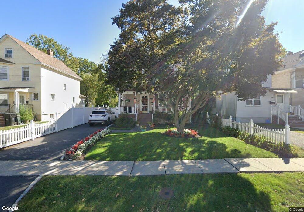
431 W Broad St Westfield, NJ 07090
Estimated Value: $637,935 - $819,000
--
Bed
--
Bath
1,302
Sq Ft
$562/Sq Ft
Est. Value
About This Home
This home is located at 431 W Broad St, Westfield, NJ 07090 and is currently estimated at $731,734, approximately $562 per square foot. 431 W Broad St is a home located in Union County with nearby schools including McKinley Elementary School, Westfield Senior High School, and Holy Trinity School.
Ownership History
Date
Name
Owned For
Owner Type
Purchase Details
Closed on
Aug 26, 2011
Sold by
Wilson Mary H
Bought by
Wilson Mary H and Fox Robert J
Current Estimated Value
Home Financials for this Owner
Home Financials are based on the most recent Mortgage that was taken out on this home.
Original Mortgage
$600,000
Outstanding Balance
$417,103
Interest Rate
4.58%
Mortgage Type
Reverse Mortgage Home Equity Conversion Mortgage
Estimated Equity
$314,631
Purchase Details
Closed on
Mar 15, 1996
Sold by
Christoffers Kurt W and Christoffers Fiona R
Bought by
Wilson Mary H
Create a Home Valuation Report for This Property
The Home Valuation Report is an in-depth analysis detailing your home's value as well as a comparison with similar homes in the area
Home Values in the Area
Average Home Value in this Area
Purchase History
| Date | Buyer | Sale Price | Title Company |
|---|---|---|---|
| Wilson Mary H | -- | Evident Title Agency Inc | |
| Wilson Mary H | $157,500 | -- |
Source: Public Records
Mortgage History
| Date | Status | Borrower | Loan Amount |
|---|---|---|---|
| Open | Wilson Mary H | $600,000 |
Source: Public Records
Tax History Compared to Growth
Tax History
| Year | Tax Paid | Tax Assessment Tax Assessment Total Assessment is a certain percentage of the fair market value that is determined by local assessors to be the total taxable value of land and additions on the property. | Land | Improvement |
|---|---|---|---|---|
| 2025 | $9,042 | $401,500 | $232,700 | $168,800 |
| 2024 | $8,857 | $401,500 | $232,700 | $168,800 |
| 2023 | $8,857 | $401,500 | $232,700 | $168,800 |
| 2022 | $8,672 | $401,500 | $232,700 | $168,800 |
| 2021 | $8,684 | $401,500 | $232,700 | $168,800 |
| 2020 | $8,664 | $401,500 | $232,700 | $168,800 |
| 2019 | $8,632 | $401,500 | $232,700 | $168,800 |
| 2018 | $6,331 | $68,100 | $18,600 | $49,500 |
| 2017 | $6,297 | $68,100 | $18,600 | $49,500 |
| 2016 | $6,149 | $68,100 | $18,600 | $49,500 |
| 2015 | $6,026 | $68,100 | $18,600 | $49,500 |
| 2014 | $5,827 | $68,100 | $18,600 | $49,500 |
Source: Public Records
Map
Nearby Homes
- 524 Edgar Rd
- 525 Edgar Rd
- 724 South Ave W Unit 724A
- 538 Westfield Ave
- 614 Dorian Rd
- 522 Boulevard
- 260 Prospect St Unit C15
- 303 Prospect St
- 215 Ross Place Unit J
- 350 W Dudley Ave
- 203 Ross Place
- 314 Highgate Ave
- 119 Lamberts Mill Rd
- 603 Carleton Rd
- 2154 W Broad St
- 1466 Lamberts Mill Rd
- 304 E Dudley Ave
- 415 Highland Ave
- 143 Stanmore Place
- 112 Windsor Ave
- 435 W Broad St
- 429 W Broad St
- 429 W Broad St Unit 2
- 437 W Broad St
- 425 W Broad St
- 439 W Broad St
- 439 W Broad St Unit 1
- 441 W Broad St
- 441 W Broad St Unit 1
- 419 W Broad St
- 414 1st St
- 417 W Broad St
- 420 1st St
- 449 W Broad St
- 440 W Broad St
- 420A Rahway Ave Unit 420A
- 420B Rahway Ave
- 448 W Broad St
- 436 W Broad St
- 450 W Broad St