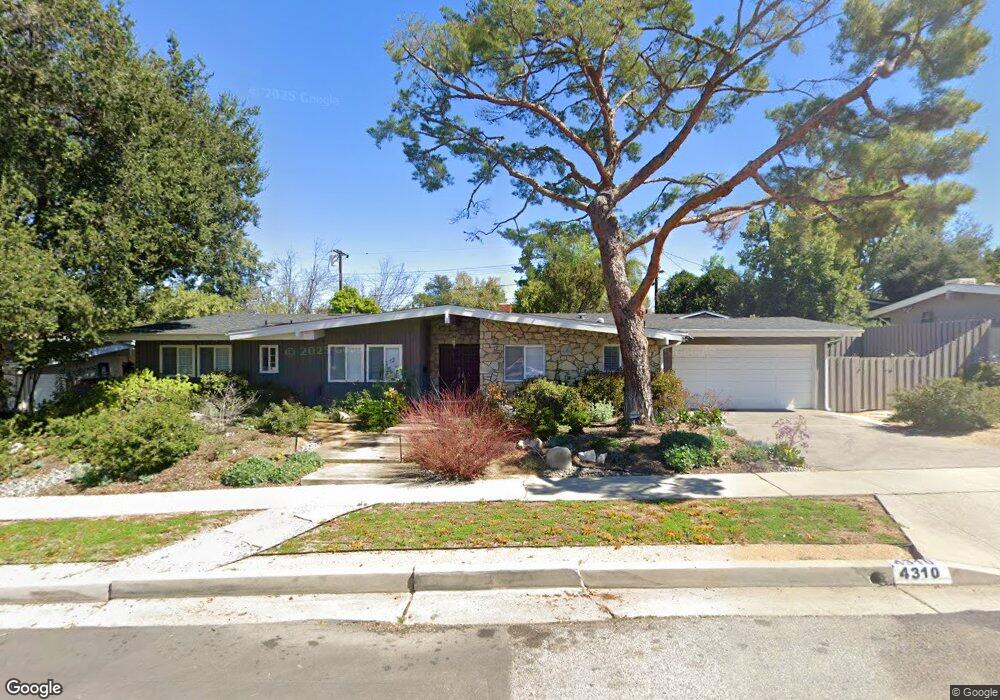
4310 Greer Rd Woodland Hills, CA 91364
Estimated Value: $1,635,720 - $1,805,000
5
Beds
3
Baths
2,749
Sq Ft
$625/Sq Ft
Est. Value
About This Home
This home is located at 4310 Greer Rd, Woodland Hills, CA 91364 and is currently estimated at $1,718,430, approximately $625 per square foot. 4310 Greer Rd is a home located in Los Angeles County with nearby schools including Woodland Hills Elementary Charter For Enriched Studies, Hale Charter Academy, and El Camino Real Charter High School.
Ownership History
Date
Name
Owned For
Owner Type
Purchase Details
Closed on
Jul 6, 2017
Sold by
Stein David E
Bought by
Stein David E and Shadur Stein Amy J
Current Estimated Value
Home Financials for this Owner
Home Financials are based on the most recent Mortgage that was taken out on this home.
Original Mortgage
$277,000
Interest Rate
3.94%
Mortgage Type
New Conventional
Purchase Details
Closed on
May 22, 2015
Sold by
Stein David E
Bought by
The Stein Family Trust
Create a Home Valuation Report for This Property
The Home Valuation Report is an in-depth analysis detailing your home's value as well as a comparison with similar homes in the area
Home Values in the Area
Average Home Value in this Area
Purchase History
| Date | Buyer | Sale Price | Title Company |
|---|---|---|---|
| Stein David E | -- | Accommodation | |
| Stein David E | -- | Title365 Company | |
| The Stein Family Trust | -- | None Available |
Source: Public Records
Mortgage History
| Date | Status | Borrower | Loan Amount |
|---|---|---|---|
| Closed | Stein David E | $277,000 |
Source: Public Records
Tax History Compared to Growth
Tax History
| Year | Tax Paid | Tax Assessment Tax Assessment Total Assessment is a certain percentage of the fair market value that is determined by local assessors to be the total taxable value of land and additions on the property. | Land | Improvement |
|---|---|---|---|---|
| 2025 | $6,602 | $519,714 | $163,272 | $356,442 |
| 2024 | $6,602 | $509,524 | $160,071 | $349,453 |
| 2023 | $6,481 | $499,534 | $156,933 | $342,601 |
| 2022 | $6,212 | $489,740 | $153,856 | $335,884 |
| 2021 | $6,125 | $480,139 | $150,840 | $329,299 |
| 2019 | $5,949 | $465,900 | $146,367 | $319,533 |
| 2018 | $5,841 | $456,766 | $143,498 | $313,268 |
| 2016 | $5,551 | $439,031 | $137,927 | $301,104 |
| 2015 | $5,473 | $432,438 | $135,856 | $296,582 |
| 2014 | $5,497 | $423,968 | $133,195 | $290,773 |
Source: Public Records
Map
Nearby Homes
- 23020 Lita Place
- 4337 Park Arroyo
- 4392 Park Paloma
- 4303 Park Paloma Unit 12
- 23024 Park Veneto
- 4218 Manson Ave
- 4420 Park Jazmin
- 4370 Park Monte Nord
- 4261 Temma Ct
- 23169 Mulholland Dr Unit 3
- 23163 Mulholland Dr
- 23123 Park Terra
- 23136 Park Contessa
- 23112 Cass Ave
- 22914 Gershwin Dr
- 22666 Margarita Dr
- 4711 Deseret Dr
- 22663 Margarita Dr
- 4520 Park Cordero
- 4715 Burgundy Rd
- 4320 Greer Rd
- 4300 Greer Rd
- 4401 Leydon Ave
- 22989 Brenford St
- 23000 Bretton Place
- 4330 Greer Rd
- 23001 Brenford St
- 4400 Leydon Ave
- 4409 Leydon Ave
- 22983 Brenford St
- 23001 Bretton Place
- 22996 Brenford St
- 23011 Brenford St
- 22988 Brenford St
- 4338 Greer Rd
- 23000 Brenford St
- 4406 Leydon Ave
- 22975 Brenford St
- 4417 Leydon Ave