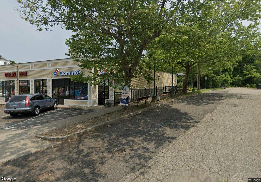
4310 Main St Bridgeport, CT 06606
North End Neighborhood
--
Bed
--
Bath
8,774
Sq Ft
0.68
Acres
About This Home
This home is located at 4310 Main St, Bridgeport, CT 06606. 4310 Main St is a home located in Fairfield County with nearby schools including John Winthrop School, Central High School, and St Andrew School.
Ownership History
Date
Name
Owned For
Owner Type
Purchase Details
Closed on
Jun 4, 2012
Sold by
4344 Main St Bdpt Corp
Bought by
4310 Main St Llc
Purchase Details
Closed on
Sep 6, 1990
Sold by
Herbst Ernest
Bought by
4344 Main St Bridgepor
Home Financials for this Owner
Home Financials are based on the most recent Mortgage that was taken out on this home.
Original Mortgage
$275,000
Interest Rate
9.83%
Mortgage Type
Commercial
Create a Home Valuation Report for This Property
The Home Valuation Report is an in-depth analysis detailing your home's value as well as a comparison with similar homes in the area
Home Values in the Area
Average Home Value in this Area
Purchase History
| Date | Buyer | Sale Price | Title Company |
|---|---|---|---|
| 4310 Main St Llc | -- | -- | |
| 4310 Main St Llc | -- | -- | |
| 4344 Main St Bridgepor | $345,000 | -- |
Source: Public Records
Mortgage History
| Date | Status | Borrower | Loan Amount |
|---|---|---|---|
| Previous Owner | 4344 Main St Bridgepor | $880,000 | |
| Previous Owner | 4344 Main St Bridgepor | $200,000 | |
| Previous Owner | 4344 Main St Bridgepor | $275,000 |
Source: Public Records
Tax History Compared to Growth
Tax History
| Year | Tax Paid | Tax Assessment Tax Assessment Total Assessment is a certain percentage of the fair market value that is determined by local assessors to be the total taxable value of land and additions on the property. | Land | Improvement |
|---|---|---|---|---|
| 2025 | $38,382 | $883,350 | $306,850 | $576,500 |
| 2024 | $38,382 | $883,350 | $306,850 | $576,500 |
| 2023 | $38,382 | $883,350 | $306,850 | $576,500 |
| 2022 | $38,382 | $883,350 | $306,850 | $576,500 |
| 2021 | $38,382 | $883,350 | $306,850 | $576,500 |
| 2020 | $40,104 | $742,810 | $258,570 | $484,240 |
| 2019 | $40,104 | $742,810 | $258,570 | $484,240 |
| 2018 | $40,387 | $742,810 | $258,570 | $484,240 |
| 2017 | $40,387 | $742,810 | $258,570 | $484,240 |
| 2016 | $40,387 | $742,810 | $258,570 | $484,240 |
| 2015 | $32,583 | $772,100 | $265,960 | $506,140 |
| 2014 | $32,583 | $772,100 | $265,960 | $506,140 |
Source: Public Records
Map
Nearby Homes
- 84 Oxford St
- 114 Oxford St
- 344 Cambridge St
- 291 Frenchtown Rd
- 490 Woodside Ave
- 142 Chatham Terrace
- 265 Vincellette St
- 173 Anton Dr
- 50 Greenhouse Rd Unit 65D
- 50 Greenhouse Rd Unit 42C
- 200 Woodmont Ave Unit 100
- 333 Vincellette St Unit 109
- 72 Herald Ave
- 215 Overland Ave
- 288 Sunrise Terrace
- 394 Anton Dr
- 90 Sequoia Rd
- 245 Glendale Ave Unit D8
- 715 Frenchtown Rd Unit 31
- 1095 Wayne St