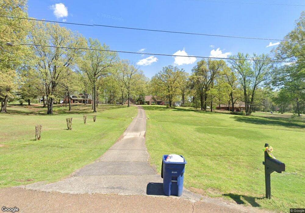
4310 Payne Parkway St Olive Branch, MS 38654
Estimated Value: $354,000 - $410,000
3
Beds
--
Bath
2,606
Sq Ft
$150/Sq Ft
Est. Value
About This Home
This home is located at 4310 Payne Parkway St, Olive Branch, MS 38654 and is currently estimated at $390,579, approximately $149 per square foot. 4310 Payne Parkway St is a home located in DeSoto County with nearby schools including Pleasant Hill Elementary School, DeSoto Central Middle School, and DeSoto Central High School.
Ownership History
Date
Name
Owned For
Owner Type
Purchase Details
Closed on
Nov 8, 2018
Sold by
Sparrenberger George Scoff and Sparrenberger Sheryn S
Bought by
Evans Larry and Evans Tiffany
Current Estimated Value
Home Financials for this Owner
Home Financials are based on the most recent Mortgage that was taken out on this home.
Original Mortgage
$245,471
Outstanding Balance
$215,401
Interest Rate
4.7%
Mortgage Type
FHA
Estimated Equity
$175,178
Create a Home Valuation Report for This Property
The Home Valuation Report is an in-depth analysis detailing your home's value as well as a comparison with similar homes in the area
Home Values in the Area
Average Home Value in this Area
Purchase History
| Date | Buyer | Sale Price | Title Company |
|---|---|---|---|
| Evans Larry | -- | None Available |
Source: Public Records
Mortgage History
| Date | Status | Borrower | Loan Amount |
|---|---|---|---|
| Open | Evans Larry | $245,471 |
Source: Public Records
Tax History Compared to Growth
Tax History
| Year | Tax Paid | Tax Assessment Tax Assessment Total Assessment is a certain percentage of the fair market value that is determined by local assessors to be the total taxable value of land and additions on the property. | Land | Improvement |
|---|---|---|---|---|
| 2024 | $2,390 | $19,713 | $3,000 | $16,713 |
| 2023 | $2,390 | $19,713 | $0 | $0 |
| 2022 | $2,390 | $19,713 | $3,000 | $16,713 |
| 2021 | $2,390 | $19,713 | $3,000 | $16,713 |
| 2020 | $2,210 | $18,389 | $3,000 | $15,389 |
| 2019 | $2,210 | $18,389 | $3,000 | $15,389 |
| 2017 | $1,417 | $32,660 | $17,830 | $14,830 |
| 2016 | $2,146 | $17,830 | $3,000 | $14,830 |
| 2015 | $2,446 | $32,660 | $17,830 | $14,830 |
| 2014 | $2,146 | $17,830 | $0 | $0 |
| 2013 | $2,075 | $17,830 | $0 | $0 |
Source: Public Records
Map
Nearby Homes
- 8122 Bella Donna Cir
- 8025 Old Addison Dr
- Huxley Plan at Nesbit - Williams Ridge 55+
- Steinbeck Plan at Nesbit - Williams Ridge 55+
- Ellison Plan at Nesbit - Williams Ridge 55+
- Sinclair Plan at Nesbit - Williams Ridge 55+
- Potter Plan at Nesbit - Williams Ridge 55+
- 8055 Old Addison Dr
- 4424 Rebekah Dr
- 8070 Old Addison Dr
- 8153 Waterfall Way
- 4515 Diamond Dr
- 7672 Rigmoore Point N
- 4504 Diamond Dr
- 7639 Savannah Cove
- 4303 Carolyn Mitchell Dr
- 4645 Rebekah Park Dr
- 7620 Kelly Cove
- 8330 John Wood Ln
- 4133 Carolyn Mitchell Dr
- 7910 Elizabeth Dr
- 4350 Payne Parkway St
- 7970 Elizabeth Dr
- 65 Dawkins Farm Dr
- 132 Dawkins Farm Dr
- 4390 Payne Parkway St
- 8045 Elan Cove
- 8062 Elan Cove
- 4210 Payne Parkway St
- 4285 Payne Parkway St
- 8091 Elizabeth Dr
- 4325 Payne Parkway St
- 4405 Payne Parkway St
- 4365 Payne Parkway St
- 7985 Elizabeth Dr
- 8080 Elan Cove
- 4170 Payne Parkway St
- 4215 Payne Parkway St
- 57 Elan Cove
- 4121 Georgia Place