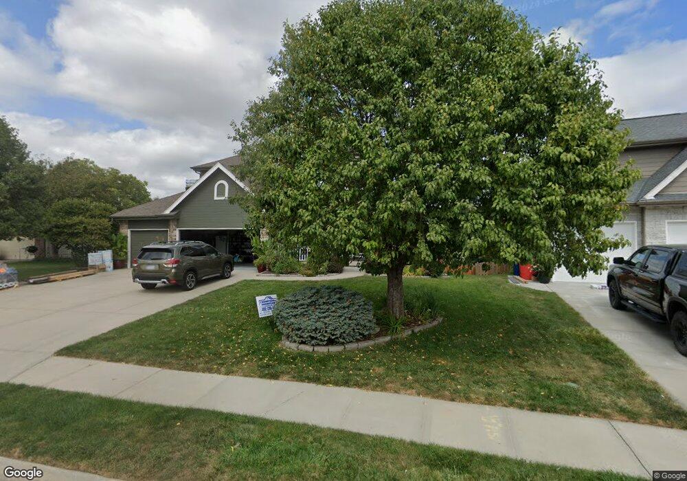
4310 Sheridan Rd Bellevue, NE 68123
Estimated Value: $434,000 - $479,000
4
Beds
5
Baths
2,400
Sq Ft
$192/Sq Ft
Est. Value
About This Home
This home is located at 4310 Sheridan Rd, Bellevue, NE 68123 and is currently estimated at $459,833, approximately $191 per square foot. 4310 Sheridan Rd is a home located in Sarpy County with nearby schools including Bellevue Elementary School, Lewis & Clark Middle School, and Bellevue West High School.
Ownership History
Date
Name
Owned For
Owner Type
Purchase Details
Closed on
Jun 4, 2009
Sold by
Mitchell Erin L
Bought by
Mitchell Gregory J
Current Estimated Value
Purchase Details
Closed on
Oct 24, 2005
Sold by
Baranko Inc
Bought by
Mitchell Gregory J and Mitchell Erin L
Home Financials for this Owner
Home Financials are based on the most recent Mortgage that was taken out on this home.
Original Mortgage
$280,800
Outstanding Balance
$150,202
Interest Rate
5.75%
Estimated Equity
$309,631
Purchase Details
Closed on
Apr 6, 2005
Sold by
Clearwater Falls Llc
Bought by
Baranko Inc
Home Financials for this Owner
Home Financials are based on the most recent Mortgage that was taken out on this home.
Original Mortgage
$205,100
Interest Rate
5.75%
Mortgage Type
Small Business Administration
Create a Home Valuation Report for This Property
The Home Valuation Report is an in-depth analysis detailing your home's value as well as a comparison with similar homes in the area
Home Values in the Area
Average Home Value in this Area
Purchase History
| Date | Buyer | Sale Price | Title Company |
|---|---|---|---|
| Mitchell Gregory J | -- | None Available | |
| Mitchell Gregory J | $281,000 | Residential Title Services | |
| Baranko Inc | $38,000 | -- |
Source: Public Records
Mortgage History
| Date | Status | Borrower | Loan Amount |
|---|---|---|---|
| Open | Mitchell Gregory J | $280,800 | |
| Previous Owner | Baranko Inc | $205,100 |
Source: Public Records
Tax History Compared to Growth
Tax History
| Year | Tax Paid | Tax Assessment Tax Assessment Total Assessment is a certain percentage of the fair market value that is determined by local assessors to be the total taxable value of land and additions on the property. | Land | Improvement |
|---|---|---|---|---|
| 2025 | $7,781 | $469,492 | $66,000 | $403,492 |
| 2024 | $8,885 | $447,567 | $60,000 | $387,567 |
| 2023 | $8,885 | $417,217 | $56,000 | $361,217 |
| 2022 | $8,297 | $381,953 | $54,000 | $327,953 |
| 2021 | $8,045 | $361,574 | $54,000 | $307,574 |
| 2020 | $7,739 | $344,069 | $54,000 | $290,069 |
| 2019 | $7,681 | $340,497 | $54,000 | $286,497 |
| 2018 | $7,551 | $327,361 | $40,000 | $287,361 |
| 2017 | $7,984 | $316,520 | $40,000 | $276,520 |
| 2016 | $7,625 | $306,906 | $40,000 | $266,906 |
| 2015 | $7,537 | $303,706 | $40,000 | $263,706 |
| 2014 | $7,548 | $297,117 | $36,000 | $261,117 |
| 2012 | -- | $293,951 | $36,000 | $257,951 |
Source: Public Records
Map
Nearby Homes
- 4369 Lookingglass Dr
- 4409 Lookingglass Dr
- 13609 S 42nd Ave
- 4605 Sheridan Rd
- 13069 S 42nd Ave Unit Lot 49
- 13065 S 42nd Ave Unit Lot 50
- 13061 S 42nd Ave Unit Lot 51
- 13057 S 42nd Ave Unit Lot 52
- 13717 S 42nd Ave
- 13315 S 49th St
- 13319 S 49th St
- Madera Plan at Lions Gate
- Santa Clara Plan at Lions Gate
- Glennview Plan at Lions Gate
- Fraser Plan at Lions Gate
- Ellison Plan at Lions Gate
- Malibu Plan at Lions Gate
- 13311 S 49th St
- 13307 S 49th St
- 13809 S 42nd Ave
- 4308 Sheridan Rd
- 4312 Sheridan Rd
- 11307 44
- 11304 44
- 4306 Sheridan Rd
- 4377 Lookingglass Dr
- 4309 Sheridan Rd
- 4304 Sheridan Rd
- 13402 S 44th St
- 13404 S 44th St
- 13406 S 44th St
- 13501 S 44th St
- 4302 Sheridan Rd
- 13502 S 43rd St
- 13502 S 44th St
- 13502 44 St
- 13504 S 43rd St
- 4303 Sheridan Rd
- 13503 S 44th St
- 13506 S 43rd St