Estimated Value: $343,000 - $385,000
5
Beds
4
Baths
2,120
Sq Ft
$170/Sq Ft
Est. Value
About This Home
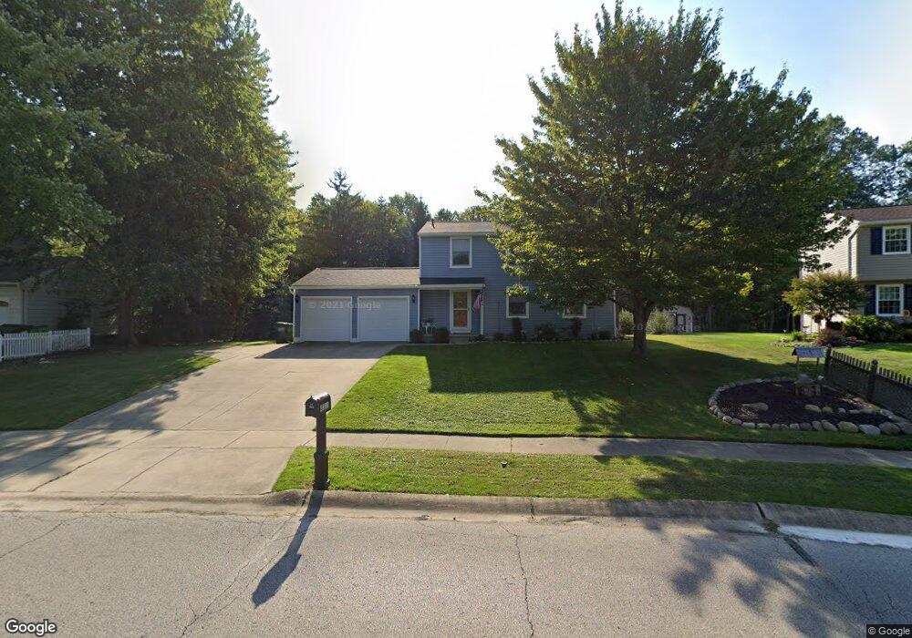
This home is located at 4311 Baird Rd, Stow, OH 44224 and is currently estimated at $359,981, approximately $169 per square foot. 4311 Baird Rd is a home located in Summit County with nearby schools including Stow-Munroe Falls High School, Holy Family Elementary School, and Walsh Jesuit High School.
Ownership History
Date
Name
Owned For
Owner Type
Purchase Details
Closed on
Aug 11, 2014
Sold by
Turner Stephen M
Bought by
Turner Stephen M and Turner Cheryl A
Current Estimated Value
Home Financials for this Owner
Home Financials are based on the most recent Mortgage that was taken out on this home.
Original Mortgage
$153,000
Outstanding Balance
$116,662
Interest Rate
4.11%
Mortgage Type
New Conventional
Estimated Equity
$243,319
Purchase Details
Closed on
Jan 6, 1998
Sold by
Quinn Michael L
Bought by
Turner Stephen M
Home Financials for this Owner
Home Financials are based on the most recent Mortgage that was taken out on this home.
Original Mortgage
$139,500
Interest Rate
7.28%
Mortgage Type
New Conventional
Purchase Details
Closed on
Jul 14, 1997
Sold by
Niccoli Anthony
Bought by
Quinn Michael L
Home Financials for this Owner
Home Financials are based on the most recent Mortgage that was taken out on this home.
Original Mortgage
$120,000
Interest Rate
7.75%
Mortgage Type
New Conventional
Create a Home Valuation Report for This Property
The Home Valuation Report is an in-depth analysis detailing your home's value as well as a comparison with similar homes in the area
Home Values in the Area
Average Home Value in this Area
Purchase History
| Date | Buyer | Sale Price | Title Company |
|---|---|---|---|
| Turner Stephen M | -- | Titanium Title Agency Llc | |
| Turner Stephen M | $155,000 | -- | |
| Quinn Michael L | $150,000 | -- |
Source: Public Records
Mortgage History
| Date | Status | Borrower | Loan Amount |
|---|---|---|---|
| Open | Turner Stephen M | $153,000 | |
| Closed | Turner Stephen M | $139,500 | |
| Previous Owner | Quinn Michael L | $120,000 |
Source: Public Records
Tax History
| Year | Tax Paid | Tax Assessment Tax Assessment Total Assessment is a certain percentage of the fair market value that is determined by local assessors to be the total taxable value of land and additions on the property. | Land | Improvement |
|---|---|---|---|---|
| 2024 | $5,346 | $94,833 | $14,133 | $80,700 |
| 2023 | $5,346 | $94,833 | $14,133 | $80,700 |
| 2022 | $4,808 | $75,250 | $10,626 | $64,624 |
| 2021 | $4,305 | $75,250 | $10,626 | $64,624 |
| 2020 | $4,380 | $77,940 | $10,630 | $67,310 |
| 2019 | $3,589 | $59,500 | $10,630 | $48,870 |
| 2018 | $3,531 | $59,500 | $10,630 | $48,870 |
| 2017 | $4,012 | $59,500 | $10,630 | $48,870 |
| 2016 | $4,129 | $65,870 | $10,630 | $55,240 |
| 2015 | $4,012 | $65,870 | $10,630 | $55,240 |
| 2014 | $4,016 | $65,870 | $10,630 | $55,240 |
| 2013 | $4,018 | $66,330 | $10,630 | $55,700 |
Source: Public Records
Map
Nearby Homes
- 4556 Fishcreek Rd
- 4399-4403 Cherryhurst Dr
- 4155 Burton Dr
- 4078 Pardee Rd
- 4040 Burton Dr
- 2908 Wexford Blvd
- 4638 Dresher Trail
- 2260 E Gilwood Dr
- 0 Vira Rd
- 4138 Genevieve Blvd
- 3874 Lake Run Blvd
- 4916 Friar Rd Unit B
- 4909 Fishcreek Rd
- 3961 Klein Ave
- 3828 Osage St Unit 3832
- 3861 Klein Ave
- 4932 Friar Rd Unit A
- 3901 Moreland Ave
- 3753 Lake Run Blvd
- 2293 Wickley Ave
- 4305 Baird Rd
- 4317 Baird Rd
- 4323 Baird Rd
- 4310 Baird Rd
- 4306 Baird Rd
- 4425 Hickory Trail
- 4417 Hickory Trail
- 2552 Paulann Dr
- 4297 Baird Rd
- 4433 Hickory Trail
- 4409 Hickory Trail
- 4318 Baird Rd
- 4302 Baird Rd
- 2558 Paulann Dr
- 4441 Hickory Trail
- 4401 Hickory Trail
- 4277 Elmhurst Dr
- 4326 Cherryhurst Dr
- 2564 Paulann Dr
- 4449 Hickory Trail