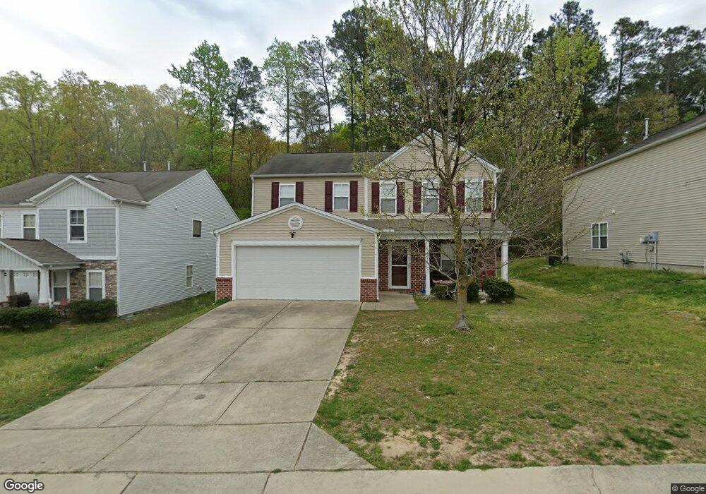
4311 Offshore Dr Raleigh, NC 27610
Southeast Raleigh NeighborhoodEstimated Value: $344,631 - $385,000
3
Beds
3
Baths
1,930
Sq Ft
$189/Sq Ft
Est. Value
About This Home
This home is located at 4311 Offshore Dr, Raleigh, NC 27610 and is currently estimated at $363,908, approximately $188 per square foot. 4311 Offshore Dr is a home located in Wake County with nearby schools including East Garner Elementary School, East Garner Middle School, and South Garner High.
Ownership History
Date
Name
Owned For
Owner Type
Purchase Details
Closed on
Mar 6, 2008
Sold by
Centex Homes
Bought by
Collins Claudia
Current Estimated Value
Home Financials for this Owner
Home Financials are based on the most recent Mortgage that was taken out on this home.
Original Mortgage
$171,640
Outstanding Balance
$105,313
Interest Rate
5.46%
Mortgage Type
Purchase Money Mortgage
Estimated Equity
$258,595
Create a Home Valuation Report for This Property
The Home Valuation Report is an in-depth analysis detailing your home's value as well as a comparison with similar homes in the area
Home Values in the Area
Average Home Value in this Area
Purchase History
| Date | Buyer | Sale Price | Title Company |
|---|---|---|---|
| Collins Claudia | $172,000 | None Available |
Source: Public Records
Mortgage History
| Date | Status | Borrower | Loan Amount |
|---|---|---|---|
| Open | Collins Claudia | $171,640 |
Source: Public Records
Tax History Compared to Growth
Tax History
| Year | Tax Paid | Tax Assessment Tax Assessment Total Assessment is a certain percentage of the fair market value that is determined by local assessors to be the total taxable value of land and additions on the property. | Land | Improvement |
|---|---|---|---|---|
| 2025 | $2,956 | $336,609 | $65,000 | $271,609 |
| 2024 | $2,943 | $336,609 | $65,000 | $271,609 |
| 2023 | $2,320 | $211,042 | $48,000 | $163,042 |
| 2022 | $2,157 | $211,042 | $48,000 | $163,042 |
| 2021 | $2,073 | $211,042 | $48,000 | $163,042 |
| 2020 | $2,036 | $211,042 | $48,000 | $163,042 |
| 2019 | $1,908 | $162,893 | $35,000 | $127,893 |
| 2018 | $1,800 | $162,893 | $35,000 | $127,893 |
| 2017 | $1,715 | $162,893 | $35,000 | $127,893 |
| 2016 | $1,680 | $162,893 | $35,000 | $127,893 |
| 2015 | $1,898 | $181,360 | $40,000 | $141,360 |
| 2014 | $1,801 | $181,360 | $40,000 | $141,360 |
Source: Public Records
Map
Nearby Homes
- 6848 Horseback Ln
- 6839 Harter Ct Unit 35
- 6839 Harter Ct
- 6606 Gibraltar Rock Dr
- 6610 Gibraltar Rock Dr
- 6620 Gibraltar Rock Dr
- 6622 Gibraltar Rock Dr
- 6651 Gibraltar Rock Dr
- 6643 Gibraltar Rock Dr
- 6634 Gibraltar Rock Dr
- 7101 Battle Bridge Rd
- 6684 Gibraltar Rock Dr
- 6692 Gibraltar Rock Dr
- 6694 Gibraltar Rock Dr
- 6696 Gibraltar Rock Dr
- 6698 Gibraltar Rock Dr
- 6604 Frogstool Ln
- 6516 Battle Bridge Rd
- Litchfield Plan at Battle Bridge
- Winchester Plan at Battle Bridge
- 4307 Offshore Dr
- 4315 Offshore Dr
- 4303 Offshore Dr
- 6867 Horseback Ln
- 4401 Offshore Dr
- 4405 Offshore Dr
- 6860 Harter Ct
- 6863 Horseback Ln
- 6868 Horseback Ln
- 6856 Harter Ct
- 4409 Offshore Dr
- 6859 Horseback Ln
- 6864 Horseback Ln
- 6852 Harter Ct
- 4413 Offshore Dr
- 4285 Offshore Dr
- 6860 Horseback Ln
- 6833 Planting Ct
- 6855 Horseback Ln
- 6846 Harter Ct