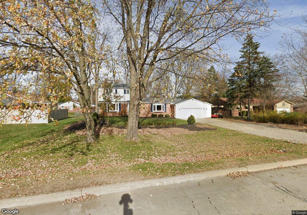
43110 Joy Rd Unit Bldg-Unit Plymouth, MI 48170
Estimated Value: $386,912 - $472,000
--
Bed
2
Baths
1,792
Sq Ft
$237/Sq Ft
Est. Value
About This Home
This home is located at 43110 Joy Rd Unit Bldg-Unit, Plymouth, MI 48170 and is currently estimated at $424,478, approximately $236 per square foot. 43110 Joy Rd Unit Bldg-Unit is a home located in Wayne County with nearby schools including Canton High School, Smith Elementary School, and East Middle School.
Ownership History
Date
Name
Owned For
Owner Type
Purchase Details
Closed on
Jan 5, 2018
Sold by
Heady Jerry and Heady Anita
Bought by
Preiss Jamie
Current Estimated Value
Home Financials for this Owner
Home Financials are based on the most recent Mortgage that was taken out on this home.
Original Mortgage
$200,795
Outstanding Balance
$169,143
Interest Rate
3.87%
Mortgage Type
FHA
Estimated Equity
$255,335
Purchase Details
Closed on
Nov 3, 2000
Sold by
Martin Chrlotte M
Bought by
Heady Anita T
Purchase Details
Closed on
Jan 9, 1995
Sold by
John P Simons
Bought by
Martin Steven C and Martin Charlotte M
Home Financials for this Owner
Home Financials are based on the most recent Mortgage that was taken out on this home.
Original Mortgage
$118,750
Interest Rate
8.88%
Mortgage Type
New Conventional
Create a Home Valuation Report for This Property
The Home Valuation Report is an in-depth analysis detailing your home's value as well as a comparison with similar homes in the area
Home Values in the Area
Average Home Value in this Area
Purchase History
| Date | Buyer | Sale Price | Title Company |
|---|---|---|---|
| Preiss Jamie | $204,500 | None Available | |
| Heady Anita T | $187,500 | -- | |
| Martin Steven C | $125,000 | -- |
Source: Public Records
Mortgage History
| Date | Status | Borrower | Loan Amount |
|---|---|---|---|
| Open | Preiss Jamie | $200,795 | |
| Previous Owner | Martin Steven C | $118,750 |
Source: Public Records
Tax History Compared to Growth
Tax History
| Year | Tax Paid | Tax Assessment Tax Assessment Total Assessment is a certain percentage of the fair market value that is determined by local assessors to be the total taxable value of land and additions on the property. | Land | Improvement |
|---|---|---|---|---|
| 2025 | $3,252 | $184,600 | $0 | $0 |
| 2024 | $3,252 | $180,400 | $0 | $0 |
| 2023 | $3,099 | $146,500 | $0 | $0 |
| 2022 | $4,119 | $128,200 | $0 | $0 |
| 2021 | $3,997 | $124,900 | $0 | $0 |
| 2019 | $3,928 | $118,990 | $0 | $0 |
| 2018 | $2,267 | $109,410 | $0 | $0 |
| 2017 | $1,582 | $23,000 | $0 | $0 |
| 2016 | $2,966 | $106,000 | $0 | $0 |
| 2015 | $9,491 | $97,640 | $0 | $0 |
| 2013 | $9,195 | $96,090 | $0 | $0 |
| 2012 | -- | $92,970 | $17,940 | $75,030 |
Source: Public Records
Map
Nearby Homes
- 9205 Rocker Ave
- 8830 Northern Ave
- 8834 Northern Ave
- 9191 Redbud Ave
- 8845 Oakview St
- 8451 Mannington Rd
- 8880 Elmhurst Ave
- 9405 Northern Ave
- 8530 Elmhurst St
- 42990 Arlington Rd
- 8870 Brookline Ave
- 43009 Arlington Rd
- 8591 Kingsley Dr
- 43086 Versailles Rd
- 42928 Versailles Rd
- 9230 Brookline Ave
- 8876 N Sheldon Rd
- 9264 Brookline Ave
- 9060 N Sheldon Rd
- 1338 S Harvey St
- 43110 Joy Rd
- 8818 Rocker Ave
- 43070 Joy Rd
- 8830 Rocker Ave
- 8817 Morrison Ave
- 8850 Rocker Ave
- 8831 Morrison Ave
- 43050 Joy Rd
- 8811 Rocker Ave
- 8851 Morrison Ave
- 8831 Rocker Ave
- 8870 Rocker Ave
- 8871 Morrison Ave
- 42990 Joy Rd
- 8888 Rocker Ave
- 42960 Joy Rd
- 8887 Morrison Ave
- 8830 Morrison Ave
- 43315 Joy Rd
- 8850 Morrison Ave