4312 133rd Ave NE Spicer, MN 56288
Estimated Value: $86,047 - $317,000
--
Bed
--
Bath
--
Sq Ft
0.73
Acres
About This Home
This home is located at 4312 133rd Ave NE, Spicer, MN 56288 and is currently estimated at $176,012. 4312 133rd Ave NE is a home with nearby schools including Prairie Woods Elementary School, New London-Spicer Middle School, and New London-Spicer Senior High School.
Ownership History
Date
Name
Owned For
Owner Type
Purchase Details
Closed on
May 29, 2008
Sold by
Johnson Kenton R and Johnson Stacy L
Bought by
Johnson Kenton R and Johnson Stacy L
Current Estimated Value
Home Financials for this Owner
Home Financials are based on the most recent Mortgage that was taken out on this home.
Original Mortgage
$128,000
Outstanding Balance
$81,632
Interest Rate
5.93%
Mortgage Type
New Conventional
Estimated Equity
$94,380
Create a Home Valuation Report for This Property
The Home Valuation Report is an in-depth analysis detailing your home's value as well as a comparison with similar homes in the area
Home Values in the Area
Average Home Value in this Area
Purchase History
| Date | Buyer | Sale Price | Title Company |
|---|---|---|---|
| Johnson Kenton R | -- | None Available | |
| Johnson Kenton R | $160,000 | None Available |
Source: Public Records
Mortgage History
| Date | Status | Borrower | Loan Amount |
|---|---|---|---|
| Open | Johnson Kenton R | $128,000 |
Source: Public Records
Tax History Compared to Growth
Tax History
| Year | Tax Paid | Tax Assessment Tax Assessment Total Assessment is a certain percentage of the fair market value that is determined by local assessors to be the total taxable value of land and additions on the property. | Land | Improvement |
|---|---|---|---|---|
| 2025 | $520 | $55,200 | $10,000 | $45,200 |
| 2024 | $582 | $48,300 | $7,500 | $40,800 |
| 2023 | $302 | $54,400 | $7,500 | $46,900 |
| 2022 | $364 | $28,500 | $7,500 | $21,000 |
| 2021 | $342 | $29,300 | $7,500 | $21,800 |
| 2020 | $350 | $30,100 | $7,500 | $22,600 |
| 2019 | $362 | $30,900 | $7,500 | $23,400 |
| 2018 | $348 | $31,700 | $7,500 | $24,200 |
| 2017 | $344 | $31,600 | $7,500 | $24,100 |
| 2016 | $342 | $316 | $0 | $0 |
| 2015 | -- | $0 | $0 | $0 |
| 2014 | -- | $0 | $0 | $0 |
Source: Public Records
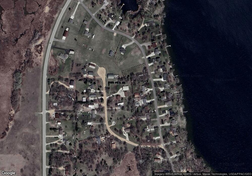
Map
Nearby Homes
- 4316 133rd Ave NE
- 4539 141st Ave NE
- 4808 132nd Ave NE Unit 25
- 5078 132nd Ave NE
- 5288 (R22) 53rd St NE
- 5288 (R24) 53rd St NE
- 5272 (R26) 53rd St NE
- 5288 (R19) 53rd St NE
- 13205 (R17) 53rd St NE
- 5288 (R23) 53rd St NE
- 5288 132nd Ave NE Unit C7
- 6844 140th Ave NE
- 10957 Highway 71 NE
- 6567 150th Ave NE
- 621 Loretta Cir
- TBD 161st Ave NE
- 14224 Skyline Dr
- 403 Miller St
- 7130 153rd Ave NE
- 7307 153rd Ave NE Unit Lot 18
- 13420 44th St NE
- 13400 44th St NE
- 13454 44th St NE
- 4330 133rd Ave NE
- 13380 44th St NE
- 13360 44th St NE
- 4317 133rd Ave NE
- 4309 133rd Ave NE
- 13441 44th St NE
- 13423 44th St NE
- 13463 44th St NE
- 4329 133rd Ave NE
- 4321 133rd Ave NE
- 13401 44th St NE
- 4329 4329 Ne 133 Ave
- 4356 133rd Ave NE
- 13560 44th St NE
- 13340 44th St NE
- 13501 44th St NE
- 13383 44th St NE