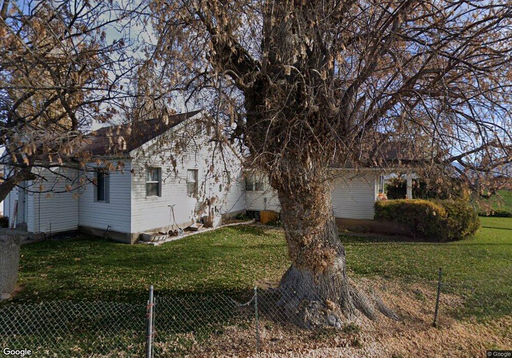
4313 S River Ln Spanish Fork, UT 84660
Estimated Value: $912,000 - $2,312,000
3
Beds
2
Baths
1,885
Sq Ft
$757/Sq Ft
Est. Value
About This Home
This home is located at 4313 S River Ln, Spanish Fork, UT 84660 and is currently estimated at $1,426,504, approximately $756 per square foot. 4313 S River Ln is a home located in Utah County with nearby schools including Brockbank Elementary School, Spanish Fork Jr High School, and Spanish Fork High School.
Ownership History
Date
Name
Owned For
Owner Type
Purchase Details
Closed on
Oct 14, 2024
Sold by
Banks Raymond and Banks Raymond Fred
Bought by
Spring Valerio Revocable Trust and Valerio
Current Estimated Value
Purchase Details
Closed on
Aug 26, 2005
Sold by
Banks Raymond
Bought by
Banks Raymond
Home Financials for this Owner
Home Financials are based on the most recent Mortgage that was taken out on this home.
Original Mortgage
$238,500
Interest Rate
6.63%
Mortgage Type
New Conventional
Purchase Details
Closed on
Jun 21, 2001
Sold by
Gooch Garth D and Gooch Nancy A
Bought by
Banks Raymond
Home Financials for this Owner
Home Financials are based on the most recent Mortgage that was taken out on this home.
Original Mortgage
$165,750
Interest Rate
10%
Create a Home Valuation Report for This Property
The Home Valuation Report is an in-depth analysis detailing your home's value as well as a comparison with similar homes in the area
Home Values in the Area
Average Home Value in this Area
Purchase History
| Date | Buyer | Sale Price | Title Company |
|---|---|---|---|
| Spring Valerio Revocable Trust | -- | None Listed On Document | |
| Banks Raymond | -- | Lone Peak Title | |
| Banks Raymond | -- | Old Republic Title Company |
Source: Public Records
Mortgage History
| Date | Status | Borrower | Loan Amount |
|---|---|---|---|
| Previous Owner | Banks Raymond | $238,500 | |
| Previous Owner | Banks Raymond | $165,750 | |
| Closed | Banks Raymond | $55,250 |
Source: Public Records
Tax History Compared to Growth
Tax History
| Year | Tax Paid | Tax Assessment Tax Assessment Total Assessment is a certain percentage of the fair market value that is determined by local assessors to be the total taxable value of land and additions on the property. | Land | Improvement |
|---|---|---|---|---|
| 2025 | $5,297 | $575,805 | $477,200 | $330,400 |
| 2024 | $5,297 | $529,455 | $0 | $0 |
| 2023 | $5,263 | $526,540 | $0 | $0 |
| 2022 | $5,143 | $675,600 | $484,500 | $191,100 |
| 2021 | $3,985 | $468,400 | $324,700 | $143,700 |
| 2020 | $3,708 | $424,700 | $281,000 | $143,700 |
| 2019 | $2,852 | $346,700 | $216,100 | $130,600 |
| 2018 | $2,745 | $312,300 | $196,100 | $116,200 |
| 2017 | $2,580 | $200,590 | $0 | $0 |
| 2016 | $2,484 | $187,225 | $0 | $0 |
| 2015 | $1,975 | $147,615 | $0 | $0 |
| 2014 | $1,974 | $147,615 | $0 | $0 |
Source: Public Records
Map
Nearby Homes
- 4248 S 3200 W
- 2182 W 4600 S
- 5310 S 3200 W
- 5272 S River Ln
- 5200 S River Dr Unit 3
- 5884 S 3200 W
- 6612 S 3200 W
- 6668 S 3200 W
- 6692 S 3200 W
- 5500 W 5600 S
- 1617 N 300 W
- 2968 W 7300 S
- 6550 S 1050 W
- 2527 W 500 S Unit 1
- 2522 W 500 S Unit 6
- 2515 W 450 S Unit 6
- 2480 W 450 S Unit 4
- 2480 W 450 S Unit 5
- 2465 W 450 S Unit 4
- 2395 W 500 S Unit 3