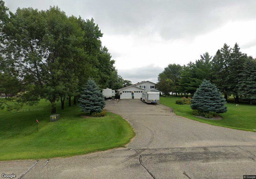
43134 S Paul Lake Dr Perham, MN 56573
Estimated Value: $630,060 - $739,000
3
Beds
2
Baths
2,080
Sq Ft
$327/Sq Ft
Est. Value
About This Home
This home is located at 43134 S Paul Lake Dr, Perham, MN 56573 and is currently estimated at $680,015, approximately $326 per square foot. 43134 S Paul Lake Dr is a home located in Otter Tail County with nearby schools including Heart of the Lake Elementary School and Perham Senior High School.
Ownership History
Date
Name
Owned For
Owner Type
Purchase Details
Closed on
Oct 26, 2018
Sold by
Fowler Judith M
Bought by
Dyste John H
Current Estimated Value
Home Financials for this Owner
Home Financials are based on the most recent Mortgage that was taken out on this home.
Original Mortgage
$320,000
Outstanding Balance
$280,219
Interest Rate
4.6%
Mortgage Type
New Conventional
Estimated Equity
$399,796
Create a Home Valuation Report for This Property
The Home Valuation Report is an in-depth analysis detailing your home's value as well as a comparison with similar homes in the area
Home Values in the Area
Average Home Value in this Area
Purchase History
| Date | Buyer | Sale Price | Title Company |
|---|---|---|---|
| Dyste John H | $400,100 | All American Title |
Source: Public Records
Mortgage History
| Date | Status | Borrower | Loan Amount |
|---|---|---|---|
| Open | Dyste John H | $320,000 |
Source: Public Records
Tax History Compared to Growth
Tax History
| Year | Tax Paid | Tax Assessment Tax Assessment Total Assessment is a certain percentage of the fair market value that is determined by local assessors to be the total taxable value of land and additions on the property. | Land | Improvement |
|---|---|---|---|---|
| 2025 | $4,360 | $602,500 | $328,900 | $273,600 |
| 2024 | $4,434 | $547,000 | $324,900 | $222,100 |
| 2023 | $3,874 | $429,100 | $250,100 | $179,000 |
| 2022 | $4,144 | $387,400 | $0 | $0 |
| 2021 | $3,832 | $429,100 | $250,100 | $179,000 |
| 2020 | $3,678 | $313,600 | $151,700 | $161,900 |
| 2019 | $3,022 | $301,600 | $151,700 | $149,900 |
| 2018 | $3,086 | $301,600 | $151,700 | $149,900 |
| 2017 | $3,112 | $282,200 | $139,600 | $142,600 |
| 2016 | $3,202 | $263,200 | $126,300 | $136,900 |
| 2015 | $2,870 | $0 | $0 | $0 |
| 2014 | -- | $247,900 | $113,000 | $134,900 |
Source: Public Records
Map
Nearby Homes
- 43561 E Paul Lake Dr
- 37791 Mallard Loop
- Tbd E Big McDonald Dr
- 106 Main St
- Lot 12 Block 2 402nd Ave
- 42429 E Big McDonald Dr
- 511 Main St
- 34654 Big McDonald Ln
- 43404 Bills Beach Rd
- 41165 427th St
- Lot 4 Seclusion Point Rd
- 40289 Aerovilla Rd
- 40740 Placid Dr
- 38908 397th St
- 37577 470th St
- 36xxx 395th St
- TBD Placid Dr
- 43148 S Paul Lake Dr
- 43166 S Paul Lake Dr
- 37871 430th St
- 37863 430th St
- 43174 S Paul Lake Dr
- 37935 430th St
- 43222 S Paul Lake Dr
- 43246 S Paul Lake Dr
- 37939 430th St
- 38001 431st St
- 38027 431st St
- 43263 S Paul Lake Dr
- 38031 431st St
- 43310 S Paul Lake Dr
- 38087 431st St
- 43316 S Paul Lake Dr
- 43271 S Paul Lake Dr
- 43320 S Paul Lake Dr
- 43496 W Paul Lake Dr
- 43520 W Paul Lake Dr