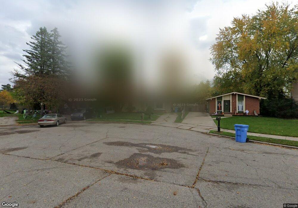
4315 Macdougal Cir Lansing, MI 48911
Lansing-Eaton NeighborhoodEstimated Value: $155,000 - $160,000
3
Beds
1
Bath
2,171
Sq Ft
$72/Sq Ft
Est. Value
About This Home
This home is located at 4315 Macdougal Cir, Lansing, MI 48911 and is currently estimated at $157,333, approximately $72 per square foot. 4315 Macdougal Cir is a home located in Eaton County with nearby schools including Averill Elementary School, Attwood School, and J.W. Sexton High School.
Ownership History
Date
Name
Owned For
Owner Type
Purchase Details
Closed on
Jan 23, 2008
Sold by
Mortgage Electronic Registration Systems
Bought by
Bank Of New York and Certificateholders S Cwalt Inc Alternati
Current Estimated Value
Purchase Details
Closed on
Jan 10, 2008
Sold by
Brown Amy and Brown Luther
Bought by
Mortgage Electronic Registration Systems
Create a Home Valuation Report for This Property
The Home Valuation Report is an in-depth analysis detailing your home's value as well as a comparison with similar homes in the area
Home Values in the Area
Average Home Value in this Area
Purchase History
| Date | Buyer | Sale Price | Title Company |
|---|---|---|---|
| Bank Of New York | -- | None Available | |
| Mortgage Electronic Registration Systems | $69,750 | None Available |
Source: Public Records
Tax History Compared to Growth
Tax History
| Year | Tax Paid | Tax Assessment Tax Assessment Total Assessment is a certain percentage of the fair market value that is determined by local assessors to be the total taxable value of land and additions on the property. | Land | Improvement |
|---|---|---|---|---|
| 2025 | $2,945 | $59,700 | $0 | $0 |
| 2024 | $5,307 | $52,500 | $0 | $0 |
| 2023 | $5,307 | $48,400 | $0 | $0 |
| 2022 | $2,609 | $42,800 | $0 | $0 |
| 2021 | $2,465 | $40,400 | $0 | $0 |
| 2020 | $2,450 | $37,500 | $0 | $0 |
| 2019 | $2,397 | $34,200 | $0 | $0 |
| 2018 | $2,258 | $30,000 | $0 | $0 |
| 2017 | $2,226 | $29,600 | $0 | $0 |
| 2016 | $1,840 | $29,400 | $0 | $0 |
| 2015 | -- | $29,300 | $0 | $0 |
| 2014 | -- | $30,100 | $0 | $0 |
| 2013 | -- | $31,100 | $0 | $0 |
Source: Public Records
Map
Nearby Homes
- 4328 Chadburne Dr
- 4009 Heathgate Dr
- 4400 Chadburne Dr
- 3941 Glenburne Blvd
- 4107 Windward Dr
- 4317 Seaway Dr
- 4018 Clayborn Rd
- 4130 Windward Dr
- 4123 Balmoral Dr
- 3600 Ronald St
- 3526 Berwick Dr
- 4000 Churchill Ave
- 3700 W Holmes Rd
- 5100 Wexford Rd
- 3115 Risdale Ave
- 4245 W Jolly Rd Unit 197
- 3006 Hillcrest St
- 3100 Glenbrook Dr
- 3200 Lawdor Rd
- 5424 S Waverly Rd
- 4319 Macdougal Cir
- 4309 Macdougal Cir
- 4325 Macdougal Cir
- 4305 Macdougal Cir
- 4329 Macdougal Cir
- 4301 Macdougal Cir
- 4014 Glenburne Blvd
- 4333 Macdougal Cir
- 4300 Macdougal Cir
- 4312 Macdougal Cir
- 4308 Macdougal Cir
- 4324 Chadburne Dr
- 4008 Glenburne Blvd
- 4304 Macdougal Cir
- 4318 Macdougal Cir
- 4314 Chadburne Dr
- 4330 Chadburne Dr
- 4322 Macdougal Cir
- 4310 Chadburne Dr
- 4336 Chadburne Dr