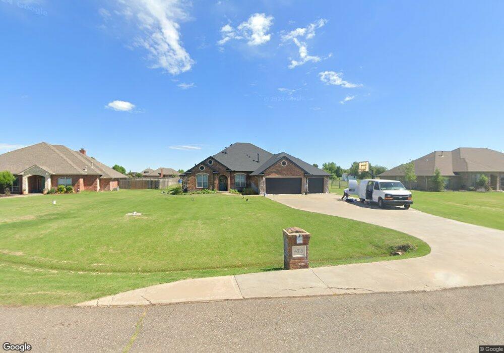
4315 Michael Rd Edmond, OK 73025
Estimated Value: $405,000 - $510,000
4
Beds
3
Baths
2,815
Sq Ft
$158/Sq Ft
Est. Value
About This Home
This home is located at 4315 Michael Rd, Edmond, OK 73025 and is currently estimated at $445,948, approximately $158 per square foot. 4315 Michael Rd is a home located in Logan County with nearby schools including Prairie Vale Elementary School, Deer Creek Middle School, and Deer Creek Intermediate School.
Ownership History
Date
Name
Owned For
Owner Type
Purchase Details
Closed on
Jul 3, 2006
Sold by
Dean Macrory Homes Inc
Bought by
Wade Barry L and Wade Tracy A
Current Estimated Value
Home Financials for this Owner
Home Financials are based on the most recent Mortgage that was taken out on this home.
Original Mortgage
$203,000
Outstanding Balance
$119,109
Interest Rate
6.63%
Mortgage Type
FHA
Estimated Equity
$326,839
Create a Home Valuation Report for This Property
The Home Valuation Report is an in-depth analysis detailing your home's value as well as a comparison with similar homes in the area
Purchase History
| Date | Buyer | Sale Price | Title Company |
|---|---|---|---|
| Wade Barry L | $232,000 | None Available |
Source: Public Records
Mortgage History
| Date | Status | Borrower | Loan Amount |
|---|---|---|---|
| Open | Wade Barry L | $203,000 |
Source: Public Records
Tax History
| Year | Tax Paid | Tax Assessment Tax Assessment Total Assessment is a certain percentage of the fair market value that is determined by local assessors to be the total taxable value of land and additions on the property. | Land | Improvement |
|---|---|---|---|---|
| 2025 | $4,000 | $34,371 | $4,051 | $30,320 |
| 2024 | $3,870 | $32,734 | $4,051 | $28,683 |
| 2023 | $3,870 | $31,176 | $4,051 | $27,125 |
| 2022 | $3,389 | $29,691 | $4,051 | $25,640 |
| 2021 | $3,293 | $29,300 | $4,051 | $25,249 |
| 2020 | $3,244 | $27,905 | $4,051 | $23,854 |
| 2019 | $3,284 | $27,905 | $4,051 | $23,854 |
| 2018 | $3,240 | $27,741 | $3,611 | $24,130 |
| 2017 | $3,294 | $28,017 | $3,611 | $24,406 |
| 2016 | $3,245 | $27,770 | $3,611 | $24,159 |
| 2014 | $3,083 | $27,062 | $2,240 | $24,822 |
| 2013 | $3,409 | $29,521 | $2,443 | $27,078 |
Source: Public Records
Map
Nearby Homes
- 4174 Michael Rd
- 4221 Darril Rd
- 12974 Mannington Rd
- 4350 Deer Crossing
- 9070 Oak Tree Cir
- 8920 Oak Tree Cir
- 8890 Oak Tree Cir
- 8681 Oak Tree Cir
- 8651 Oak Tree Cir
- 13460 Blue Star St
- 8621 Oak Tree Cir
- 4660 Ranchero Dr
- 8591 Oak Tree Cir
- 8561 Oak Tree Cir
- 4640 Ranchero Dr
- 4929 Ranchero Dr
- 9881 Livingston Rd
- 13420 Saltgrass Dr
- 9451 W Charter Oak
- 4949 Penn Place Dr
- 4305 Michael Rd
- 4335 Michael Rd
- 4355 Michael Rd
- 4324 Michael Rd
- 4282 Darril Rd
- 4255 Michael Rd
- 4252 Darril Rd
- 4304 Michael Rd
- 4354 Michael Rd
- 4312 Darril Rd
- 4195 Michael Rd
- 4222 Darril Rd
- 4274 Michael Rd
- 4342 Darril Rd
- 4175 Michael Rd
- 4234 Michael Rd
- 4192 Darril Rd
- 4341 Darril Rd
- 13017 Mannington Rd
- 4145 Michael Rd
Your Personal Tour Guide
Ask me questions while you tour the home.