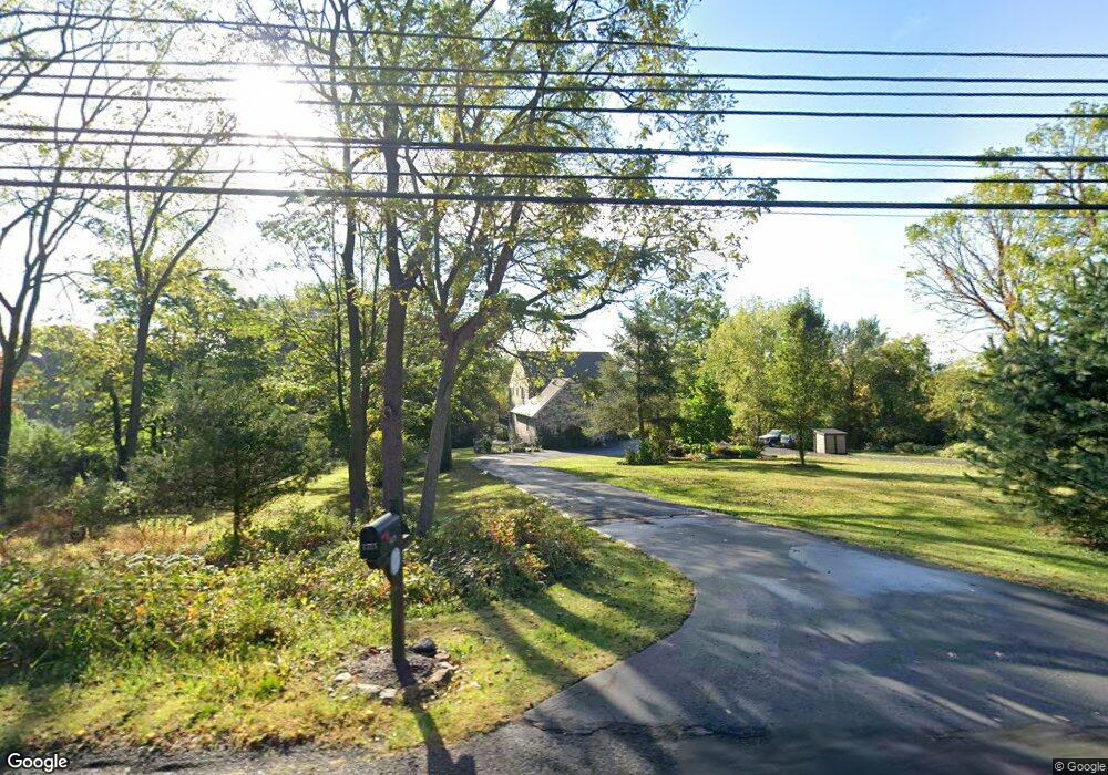
4315 Route 202 Doylestown, PA 18902
Estimated Value: $805,000 - $856,000
4
Beds
3
Baths
2,539
Sq Ft
$325/Sq Ft
Est. Value
About This Home
This home is located at 4315 Route 202, Doylestown, PA 18902 and is currently estimated at $824,512, approximately $324 per square foot. 4315 Route 202 is a home located in Bucks County with nearby schools including Buckingham Elementary School, Holicong Middle School, and Central Bucks High School - East.
Ownership History
Date
Name
Owned For
Owner Type
Purchase Details
Closed on
Sep 12, 2014
Sold by
Bush Jonathan and Garda Christine
Bought by
Bush Jonathan and Bush Christine L
Current Estimated Value
Purchase Details
Closed on
Mar 27, 2002
Sold by
Smith Willard D and Smith Constance M
Bought by
Bush Jonathan and Garda Christine
Home Financials for this Owner
Home Financials are based on the most recent Mortgage that was taken out on this home.
Original Mortgage
$142,500
Interest Rate
6.3%
Create a Home Valuation Report for This Property
The Home Valuation Report is an in-depth analysis detailing your home's value as well as a comparison with similar homes in the area
Home Values in the Area
Average Home Value in this Area
Purchase History
| Date | Buyer | Sale Price | Title Company |
|---|---|---|---|
| Bush Jonathan | -- | None Available | |
| Bush Jonathan | $335,000 | -- |
Source: Public Records
Mortgage History
| Date | Status | Borrower | Loan Amount |
|---|---|---|---|
| Closed | Bush Jonathan | $142,500 | |
| Closed | Bush Jonathan | $100,000 |
Source: Public Records
Tax History Compared to Growth
Tax History
| Year | Tax Paid | Tax Assessment Tax Assessment Total Assessment is a certain percentage of the fair market value that is determined by local assessors to be the total taxable value of land and additions on the property. | Land | Improvement |
|---|---|---|---|---|
| 2025 | $7,431 | $45,640 | $8,000 | $37,640 |
| 2024 | $7,431 | $45,640 | $8,000 | $37,640 |
| 2023 | $7,179 | $45,640 | $8,000 | $37,640 |
| 2022 | $7,093 | $45,640 | $8,000 | $37,640 |
| 2021 | $7,008 | $45,640 | $8,000 | $37,640 |
| 2020 | $7,008 | $45,640 | $8,000 | $37,640 |
| 2019 | $6,962 | $45,640 | $8,000 | $37,640 |
| 2018 | $6,962 | $45,640 | $8,000 | $37,640 |
| 2017 | $6,905 | $45,640 | $8,000 | $37,640 |
| 2016 | $6,974 | $45,640 | $8,000 | $37,640 |
| 2015 | -- | $45,640 | $8,000 | $37,640 |
| 2014 | -- | $45,640 | $8,000 | $37,640 |
Source: Public Records
Map
Nearby Homes
- 2799 Manion Way
- 2728 Red Gate Dr
- 2880 Snake Hill Rd
- 4350 Church Rd
- 4604 Sands Way
- 3146 Mill Rd
- 3196 Mill Rd
- 3111 Burnt House Hill Rd
- 4245 Mechanicsville Rd
- 2565 Bogarts Tavern Rd
- 3889 Robin Rd
- 2479 Wheatfield Ln
- 3015 Yorkshire Rd
- 3775 Buckingham Dr
- lot #3 next to 3739 York Rd
- 4871 E Blossom Dr
- 3555 Northview Ln
- 5025 Anderson Rd
- 3772 Powder Horn Dr
- 4928 Edgewood Rd
- 2800 Red Gate Dr
- 2798 Red Gate Dr
- 4300 Route 202
- 2712 Manion Way
- 4318 Route 202
- 2788 Red Gate Dr
- 2802 Red Gate Dr
- 4340 Route 202
- 2795 Manion Way
- 4360 Route 202
- 4326 Route 202
- 4352 Route 202
- 4352 U S 202
- 2772 Red Gate Dr
- 2803 Red Gate Dr
- 2874 Paprika Rd
- 2791 Manion Way
- 2952 Snake Hill Rd
- 4231 Route 202
- 2799 Red Gate Dr