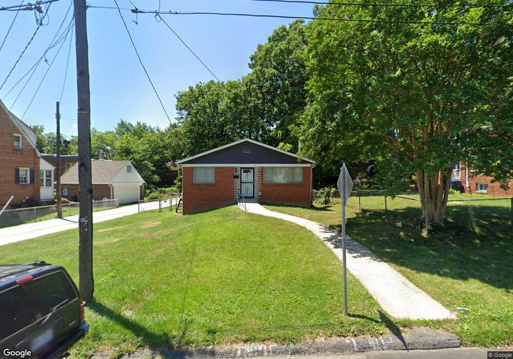
4317 Burns St SE Washington, DC 20019
Fort Davis NeighborhoodEstimated Value: $329,000 - $526,000
3
Beds
2
Baths
1,176
Sq Ft
$356/Sq Ft
Est. Value
About This Home
This home is located at 4317 Burns St SE, Washington, DC 20019 and is currently estimated at $418,399, approximately $355 per square foot. 4317 Burns St SE is a home located in District of Columbia with nearby schools including Anne Beers Elementary School, Sousa Middle School, and Anacostia High School.
Ownership History
Date
Name
Owned For
Owner Type
Purchase Details
Closed on
May 10, 2019
Sold by
The Estate Of Dorothea R Carmon
Bought by
Gwynn Elmira C and Mays Henrietta C
Current Estimated Value
Purchase Details
Closed on
Aug 17, 1995
Sold by
Williams Eric G
Bought by
Thomas Ronald W
Home Financials for this Owner
Home Financials are based on the most recent Mortgage that was taken out on this home.
Original Mortgage
$105,400
Interest Rate
7.61%
Create a Home Valuation Report for This Property
The Home Valuation Report is an in-depth analysis detailing your home's value as well as a comparison with similar homes in the area
Home Values in the Area
Average Home Value in this Area
Purchase History
| Date | Buyer | Sale Price | Title Company |
|---|---|---|---|
| Gwynn Elmira C | -- | None Available | |
| Thomas Ronald W | $107,000 | -- |
Source: Public Records
Mortgage History
| Date | Status | Borrower | Loan Amount |
|---|---|---|---|
| Closed | Thomas Ronald W | $105,400 |
Source: Public Records
Tax History Compared to Growth
Tax History
| Year | Tax Paid | Tax Assessment Tax Assessment Total Assessment is a certain percentage of the fair market value that is determined by local assessors to be the total taxable value of land and additions on the property. | Land | Improvement |
|---|---|---|---|---|
| 2025 | $3,586 | $421,920 | $169,390 | $252,530 |
| 2024 | $3,532 | $415,480 | $166,840 | $248,640 |
| 2023 | $3,432 | $403,740 | $166,140 | $237,600 |
| 2022 | $3,147 | $370,220 | $161,550 | $208,670 |
| 2021 | $2,984 | $351,090 | $159,170 | $191,920 |
| 2020 | $2,954 | $347,530 | $155,690 | $191,840 |
| 2019 | $2,841 | $334,180 | $155,100 | $179,080 |
| 2018 | $2,818 | $331,500 | $0 | $0 |
| 2017 | $2,467 | $290,290 | $0 | $0 |
| 2016 | $2,211 | $260,130 | $0 | $0 |
| 2015 | $2,129 | $250,430 | $0 | $0 |
| 2014 | $1,917 | $225,530 | $0 | $0 |
Source: Public Records
Map
Nearby Homes
- 4336 Southern Ave SE
- 4320 Burns St SE
- 4308 Alabama Ave SE
- 4203 Shell St
- 4012 Will St
- 4442 Alabama Ave SE
- 4304 Torque St
- 1227 44th Place SE
- 4017 Alton St
- 1208 44th Place SE
- 4223 Vine St
- 4104 Byers St
- 4227 Nash St SE
- 4712 Southern Ave SE
- 4619 Southern Ave
- 4238 Southern Ave SE
- 1405 42nd St SE
- 1135 46th St SE
- 1112 Chaplin St SE
- 4224 Southern Ave SE
- 4311 Burns St SE
- 4311 Burns St SE
- 4311 Burns St SE
- 4311 Burns St SE
- 4319 Burns St SE
- 4348 Southern Ave SE Unit 2
- 4348 Southern Ave SE
- 4348 Southern Ave SE Unit 1
- 4118 Stanley St SE
- 4112 Stanley St SE
- 4316 Burns St SE
- 4108 Stanley St SE
- 4312 Burns St SE
- 4233 Alabama Ave SE
- 4350 Southern Ave SE
- 4223 Alabama Ave SE
- 4360 Southern Ave SE
- 4360 Southern Ave SE
- 4121 Stanley St SE
- 4321 Bowen Rd SE