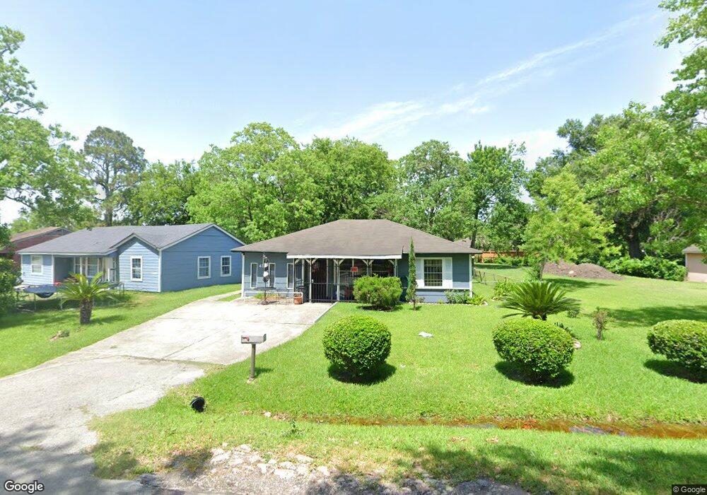
4317 Kay Cir Unit BLOSSOM Houston, TX 77051
Sunnyside NeighborhoodEstimated Value: $132,231 - $192,000
3
Beds
4
Baths
1,104
Sq Ft
$151/Sq Ft
Est. Value
About This Home
This home is located at 4317 Kay Cir Unit BLOSSOM, Houston, TX 77051 and is currently estimated at $167,058, approximately $151 per square foot. 4317 Kay Cir Unit BLOSSOM is a home located in Harris County with nearby schools including Young Elementary School, Attucks Middle School, and Worthing High School.
Ownership History
Date
Name
Owned For
Owner Type
Purchase Details
Closed on
Apr 6, 2001
Sold by
Devine David J
Bought by
Riley Demitrus
Current Estimated Value
Home Financials for this Owner
Home Financials are based on the most recent Mortgage that was taken out on this home.
Original Mortgage
$27,000
Interest Rate
13%
Mortgage Type
Seller Take Back
Create a Home Valuation Report for This Property
The Home Valuation Report is an in-depth analysis detailing your home's value as well as a comparison with similar homes in the area
Home Values in the Area
Average Home Value in this Area
Purchase History
| Date | Buyer | Sale Price | Title Company |
|---|---|---|---|
| Riley Demitrus | -- | -- |
Source: Public Records
Mortgage History
| Date | Status | Borrower | Loan Amount |
|---|---|---|---|
| Previous Owner | Riley Demitrus | $27,000 |
Source: Public Records
Tax History Compared to Growth
Tax History
| Year | Tax Paid | Tax Assessment Tax Assessment Total Assessment is a certain percentage of the fair market value that is determined by local assessors to be the total taxable value of land and additions on the property. | Land | Improvement |
|---|---|---|---|---|
| 2025 | $595 | $110,137 | $89,011 | $21,126 |
| 2024 | $595 | $110,137 | $89,011 | $21,126 |
| 2023 | $595 | $110,759 | $89,011 | $21,748 |
| 2022 | $1,103 | $79,849 | $62,308 | $17,541 |
| 2021 | $1,061 | $60,971 | $44,506 | $16,465 |
| 2020 | $1,002 | $51,917 | $35,604 | $16,313 |
| 2019 | $952 | $43,016 | $26,703 | $16,313 |
| 2018 | $393 | $34,211 | $20,028 | $14,183 |
| 2017 | $865 | $34,211 | $20,028 | $14,183 |
| 2016 | $865 | $34,211 | $20,028 | $14,183 |
| 2015 | $526 | $34,211 | $20,028 | $14,183 |
| 2014 | $526 | $34,211 | $20,028 | $14,183 |
Source: Public Records
Map
Nearby Homes
- 4419 Mayflower St
- 1026 Theresa St
- 1114 Elberta St
- 1115 Theresa St
- 1118 Elberta St
- 1033 Theresa St
- 1007 Danube St
- 1108 Danube St
- 1121 Theresa St
- 1008 Danube St
- 00 Danube St
- 4519 Teton St
- 1205 Vera Lou St
- 7815 Jester St
- 7705 Independence St
- 0 Independence St Unit 10652822
- 4526 Edfield St
- 4525 Newberry St
- 0 Jester St
- 4555 Newberry St