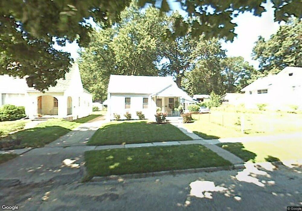
4319 Bales Rd Toledo, OH 43613
DeVeaux NeighborhoodEstimated Value: $130,589 - $140,000
3
Beds
1
Bath
960
Sq Ft
$139/Sq Ft
Est. Value
About This Home
This home is located at 4319 Bales Rd, Toledo, OH 43613 and is currently estimated at $133,397, approximately $138 per square foot. 4319 Bales Rd is a home located in Lucas County with nearby schools including Elmhurst Elementary School, Start High School, and Horizon Science Academy - Toledo High School.
Ownership History
Date
Name
Owned For
Owner Type
Purchase Details
Closed on
Feb 16, 2017
Sold by
Siek David
Bought by
Richard A Long
Current Estimated Value
Home Financials for this Owner
Home Financials are based on the most recent Mortgage that was taken out on this home.
Interest Rate
4.15%
Purchase Details
Closed on
Sep 11, 1989
Sold by
Cordes Kenneth H
Create a Home Valuation Report for This Property
The Home Valuation Report is an in-depth analysis detailing your home's value as well as a comparison with similar homes in the area
Home Values in the Area
Average Home Value in this Area
Purchase History
| Date | Buyer | Sale Price | Title Company |
|---|---|---|---|
| Richard A Long | $23,000 | -- | |
| -- | $14,500 | -- |
Source: Public Records
Mortgage History
| Date | Status | Borrower | Loan Amount |
|---|---|---|---|
| Closed | Richard A Long | -- |
Source: Public Records
Tax History Compared to Growth
Tax History
| Year | Tax Paid | Tax Assessment Tax Assessment Total Assessment is a certain percentage of the fair market value that is determined by local assessors to be the total taxable value of land and additions on the property. | Land | Improvement |
|---|---|---|---|---|
| 2024 | $970 | $31,360 | $7,805 | $23,555 |
| 2023 | $1,784 | $27,580 | $6,895 | $20,685 |
| 2022 | $1,775 | $27,580 | $6,895 | $20,685 |
| 2021 | $1,834 | $27,580 | $6,895 | $20,685 |
| 2020 | $1,739 | $22,960 | $5,740 | $17,220 |
| 2019 | $1,686 | $22,960 | $5,740 | $17,220 |
| 2018 | $1,690 | $22,960 | $5,740 | $17,220 |
| 2017 | $1,518 | $19,600 | $6,650 | $12,950 |
| 2016 | $1,520 | $56,000 | $19,000 | $37,000 |
| 2015 | $1,526 | $56,000 | $19,000 | $37,000 |
| 2014 | $1,233 | $19,600 | $6,650 | $12,950 |
| 2013 | $1,233 | $19,600 | $6,650 | $12,950 |
Source: Public Records
Map
Nearby Homes
- 2645 Westbrook Dr
- 2640 Westbrook Dr
- 2645 Grantwood Dr
- 2513 Grantwood Dr
- 4440 Woodmont Rd
- 4210 Bowen Rd
- 4220 Douglas Rd
- 2659 Oak Grove Place
- 2728 Castleton Ave
- 4128 Douglas Rd
- 2409 Lambert Dr
- 4250 Garrison Rd
- 2408 Lambert Dr
- 2855 Castleton Ave
- 3951 Buell Ave
- 2316 Westbrook Dr
- 2842 Oak Grove Place
- 2560 Charlestown Ave
- 2605 Wyndale Rd
- 3905 Rushland Ave
- 4323 Bales Rd
- 4327 Bales Rd
- 4311 Bales Rd
- 4331 Bales Rd
- 2625 Westbrook Dr
- 2616 Grantwood Dr
- 4307 Bales Rd
- 2617 Westbrook Dr
- 2621 Westbrook Dr
- 2620 Grantwood Dr
- 2611 Westbrook Dr
- 4301 Bales Rd
- 2567 Pershing Dr
- 2629 Westbrook Dr
- 2607 Westbrook Dr
- 2601 Westbrook Dr
- 2628 Grantwood Dr
- 2631 Westbrook Dr
- 2565 Pershing Dr
- 2568 Grantwood Dr