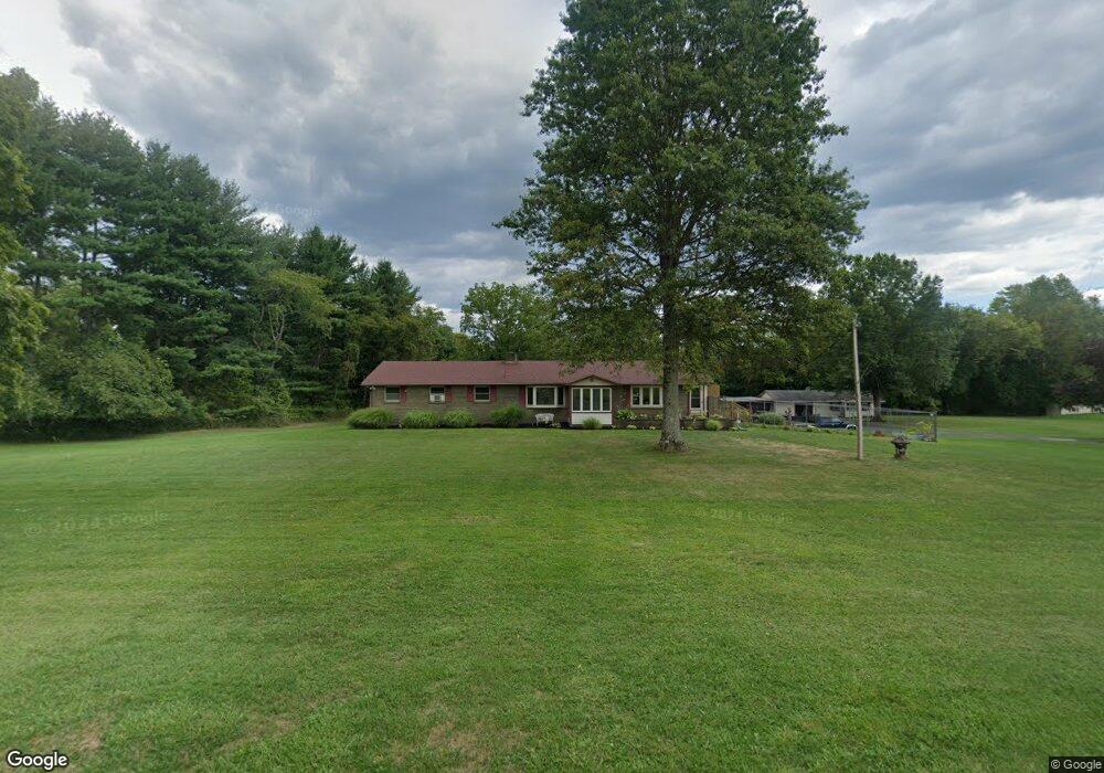
4319 Smith Rd Furlong, PA 18925
Estimated Value: $797,753 - $871,000
--
Bed
3
Baths
2,864
Sq Ft
$290/Sq Ft
Est. Value
About This Home
This home is located at 4319 Smith Rd, Furlong, PA 18925 and is currently estimated at $830,188, approximately $289 per square foot. 4319 Smith Rd is a home with nearby schools including Buckingham Elementary School, Holicong Middle School, and Central Bucks High School - East.
Ownership History
Date
Name
Owned For
Owner Type
Purchase Details
Closed on
Nov 30, 2000
Sold by
Kirner Edmund J and Kirner Joanne
Bought by
Gordon Scott K and Gordon Audrey Doridio
Current Estimated Value
Home Financials for this Owner
Home Financials are based on the most recent Mortgage that was taken out on this home.
Original Mortgage
$224,000
Outstanding Balance
$82,546
Interest Rate
7.7%
Estimated Equity
$747,642
Purchase Details
Closed on
Jun 7, 1994
Sold by
Kallinger William and Kallinger Alice
Bought by
Kirner Edmund J and Kirner Joanne
Create a Home Valuation Report for This Property
The Home Valuation Report is an in-depth analysis detailing your home's value as well as a comparison with similar homes in the area
Home Values in the Area
Average Home Value in this Area
Purchase History
| Date | Buyer | Sale Price | Title Company |
|---|---|---|---|
| Gordon Scott K | $329,900 | -- | |
| Kirner Edmund J | -- | -- |
Source: Public Records
Mortgage History
| Date | Status | Borrower | Loan Amount |
|---|---|---|---|
| Open | Gordon Scott K | $224,000 |
Source: Public Records
Tax History Compared to Growth
Tax History
| Year | Tax Paid | Tax Assessment Tax Assessment Total Assessment is a certain percentage of the fair market value that is determined by local assessors to be the total taxable value of land and additions on the property. | Land | Improvement |
|---|---|---|---|---|
| 2025 | $8,785 | $53,960 | $9,480 | $44,480 |
| 2024 | $8,785 | $53,960 | $9,480 | $44,480 |
| 2023 | $8,386 | $53,960 | $9,480 | $44,480 |
| 2022 | $8,386 | $53,960 | $9,480 | $44,480 |
| 2021 | $8,286 | $53,960 | $9,480 | $44,480 |
| 2020 | $8,286 | $53,960 | $9,480 | $44,480 |
| 2019 | $8,232 | $53,960 | $9,480 | $44,480 |
| 2018 | $8,232 | $53,960 | $9,480 | $44,480 |
| 2017 | $8,164 | $53,960 | $9,480 | $44,480 |
| 2016 | $8,245 | $53,960 | $9,480 | $44,480 |
| 2015 | -- | $53,960 | $9,480 | $44,480 |
| 2014 | -- | $53,960 | $9,480 | $44,480 |
Source: Public Records
Map
Nearby Homes
- 1221 Creek Rd
- 4697 Smith Rd
- 158 Grouse Cir
- 147 Raven Ct
- 148 Raven Ct
- 183 Spring Meadow Cir
- 191 Cardinal Ct S
- 214 Dove Ct
- 495 Goldenrod Crossing W
- 92 Acorn Ct E
- 1341 Durham Rd
- 529 Honeysuckle Ct
- 377 Spring Meadow Cir
- 561 Spring Meadow Cir
- 4981 New Rd
- 925 Park Ave
- 1100 Pineville Rd
- 4448 Lower Mountain Rd
- 941 Penns Park
- 4549 Lower Mountain Rd
- 4339 Smith Rd
- 4299 Smith Rd
- 4281 Smith Rd
- 4349 Smith Rd
- 4245 Smith Rd
- 4237 Smith Rd
- 4432 Smith Rd
- 4442 Smith Rd
- 4196 Smith Rd
- 4332 Township Line Rd
- 4332 Township Line Rd Unit LOT 2
- 4496 Smith Rd Unit LOT 3
- 4496 Smith Rd
- 4515 Smith Rd
- 4512 Smith Rd
- 4131 Smith Rd
- 4321 New Hope Rd
- 4118 Smith Rd
- 4520 Smith Rd
- 0 Smith Rd Unit 7253003