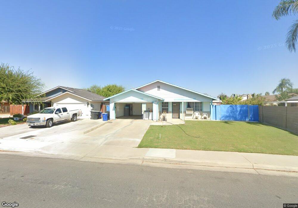
432 Hail Ln Mc Farland, CA 93250
Estimated Value: $273,976 - $326,000
3
Beds
2
Baths
1,091
Sq Ft
$269/Sq Ft
Est. Value
About This Home
This home is located at 432 Hail Ln, Mc Farland, CA 93250 and is currently estimated at $293,494, approximately $269 per square foot. 432 Hail Ln is a home located in Kern County with nearby schools including McFarland High School.
Ownership History
Date
Name
Owned For
Owner Type
Purchase Details
Closed on
Oct 16, 2020
Sold by
Carpio Noe M and Carpio Mirta
Bought by
Carpio Noe M and Carpio Mirta
Current Estimated Value
Purchase Details
Closed on
Sep 25, 2012
Sold by
Carpio Noe M and Carpio Mirta
Bought by
Carpio Noe M and Carpio Mirta
Home Financials for this Owner
Home Financials are based on the most recent Mortgage that was taken out on this home.
Original Mortgage
$87,808
Interest Rate
3.87%
Mortgage Type
FHA
Create a Home Valuation Report for This Property
The Home Valuation Report is an in-depth analysis detailing your home's value as well as a comparison with similar homes in the area
Home Values in the Area
Average Home Value in this Area
Purchase History
| Date | Buyer | Sale Price | Title Company |
|---|---|---|---|
| Carpio Noe M | -- | None Available | |
| Carpio Noe M | -- | Orange Coast Title Company |
Source: Public Records
Mortgage History
| Date | Status | Borrower | Loan Amount |
|---|---|---|---|
| Closed | Carpio Noe M | $87,808 |
Source: Public Records
Tax History Compared to Growth
Tax History
| Year | Tax Paid | Tax Assessment Tax Assessment Total Assessment is a certain percentage of the fair market value that is determined by local assessors to be the total taxable value of land and additions on the property. | Land | Improvement |
|---|---|---|---|---|
| 2025 | $1,204 | $97,032 | $31,428 | $65,604 |
| 2024 | $1,181 | $95,130 | $30,812 | $64,318 |
| 2023 | $1,181 | $93,265 | $30,208 | $63,057 |
| 2022 | $1,148 | $91,437 | $29,616 | $61,821 |
| 2021 | $1,081 | $89,645 | $29,036 | $60,609 |
| 2020 | $1,038 | $88,727 | $28,739 | $59,988 |
| 2019 | $980 | $88,727 | $28,739 | $59,988 |
| 2018 | $966 | $85,283 | $27,624 | $57,659 |
| 2017 | $941 | $83,612 | $27,083 | $56,529 |
| 2016 | $928 | $81,973 | $26,552 | $55,421 |
| 2015 | $910 | $80,743 | $26,154 | $54,589 |
| 2014 | $872 | $79,162 | $25,642 | $53,520 |
Source: Public Records
Map
Nearby Homes
- 830 Davis Ave
- 733 Ensenata Dr
- 249 Robertson Ave
- 450 8th St
- 0 W Sherwood Ave Unit 202506495
- 0 W Sherwood Ave Unit 21453658
- 539 11th St
- 124 4th Place
- 276 San Juan St
- 389 Mount Arbor St
- 254 E Sherwood Ave
- 148 San Lucas St
- 0 E Sherwood Ave
- 737 Misty Ave
- 13271 Garzoli Ave
- 30787 Perkins Ave
- 583 Taylor Ave
- 805 Price St
- 852 Butte St
- 836 Fletcher St