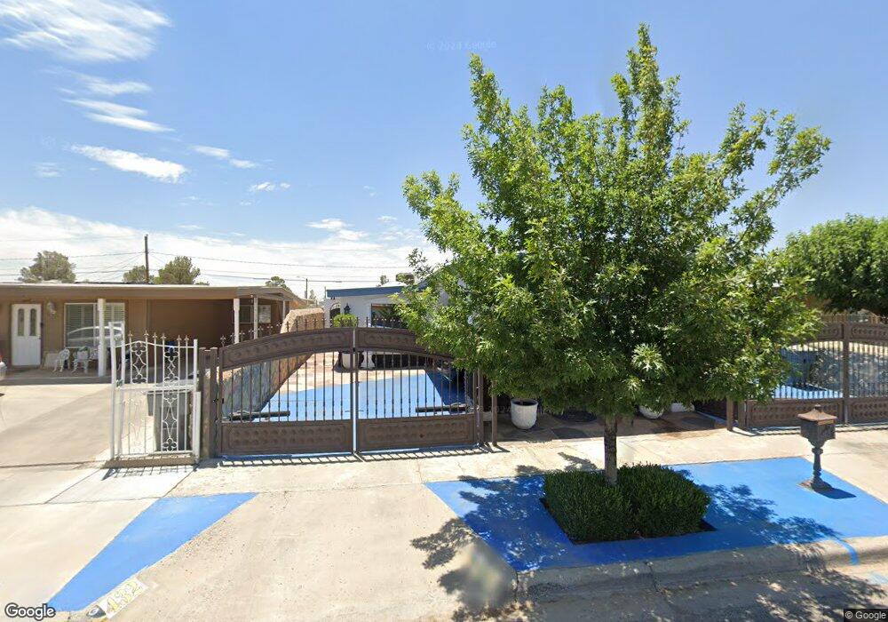
432 Mccarthy Ave El Paso, TX 79915
Thomas Manor NeighborhoodEstimated Value: $195,000 - $222,000
--
Bed
2
Baths
2,145
Sq Ft
$95/Sq Ft
Est. Value
About This Home
This home is located at 432 Mccarthy Ave, El Paso, TX 79915 and is currently estimated at $204,386, approximately $95 per square foot. 432 Mccarthy Ave is a home located in El Paso County with nearby schools including Thomas Manor, Riverside Middle School, and Riverside High School.
Ownership History
Date
Name
Owned For
Owner Type
Purchase Details
Closed on
Dec 10, 2002
Sold by
El Campanario Partnership Lp
Bought by
Lomeli Juan Carlos and Lomeli Sergio J
Current Estimated Value
Home Financials for this Owner
Home Financials are based on the most recent Mortgage that was taken out on this home.
Original Mortgage
$34,000
Interest Rate
6.05%
Mortgage Type
Seller Take Back
Create a Home Valuation Report for This Property
The Home Valuation Report is an in-depth analysis detailing your home's value as well as a comparison with similar homes in the area
Home Values in the Area
Average Home Value in this Area
Purchase History
| Date | Buyer | Sale Price | Title Company |
|---|---|---|---|
| Lomeli Juan Carlos | -- | -- |
Source: Public Records
Mortgage History
| Date | Status | Borrower | Loan Amount |
|---|---|---|---|
| Closed | Lomeli Juan Carlos | $34,000 |
Source: Public Records
Tax History Compared to Growth
Tax History
| Year | Tax Paid | Tax Assessment Tax Assessment Total Assessment is a certain percentage of the fair market value that is determined by local assessors to be the total taxable value of land and additions on the property. | Land | Improvement |
|---|---|---|---|---|
| 2025 | $2,704 | $179,759 | -- | -- |
| 2024 | $2,704 | $163,417 | -- | -- |
| 2023 | $2,504 | $148,561 | $0 | $0 |
| 2022 | $4,194 | $135,055 | $0 | $0 |
| 2021 | $3,991 | $138,063 | $11,600 | $126,463 |
| 2020 | $3,525 | $111,615 | $11,600 | $100,015 |
| 2018 | $3,507 | $112,787 | $11,600 | $101,187 |
| 2017 | $3,472 | $113,588 | $11,600 | $101,988 |
| 2016 | $3,472 | $113,588 | $11,600 | $101,988 |
| 2015 | $2,631 | $113,588 | $11,600 | $101,988 |
| 2014 | $2,631 | $116,717 | $11,600 | $105,117 |
Source: Public Records
Map
Nearby Homes
- 310 Kelvin Ave
- 222 Kelvin Ave
- 223 Kelvin Ave
- 205 Kelvin Ave
- 7874 Broadway Dr
- 104 Chip Way
- 7860 Porche St
- 7807 Porche St
- 7925 Broadway Dr
- 7920 Porche St
- 7952 Broadway Dr
- 7632 Franklin Dr Unit 1-2
- 8041 Broadway Dr
- 151 Aspen Rd
- 217 Papaya St
- 7798 Rosedale St
- 443 Cadwallader Dr
- 7327 Mimosa Ave
- 7907 Alameda Ave
- 208 Arbor Place
- 428 Mccarthy Ave
- 436 Mccarthy Ave
- 433 Jensen Ave
- 424 Mccarthy Ave
- 440 Mccarthy Ave
- 429 Jensen Ave
- 437 Jensen Ave
- 425 Jensen Ave
- 420 Mccarthy Ave
- 433 Mccarthy Ave
- 444 Mccarthy Ave
- 441 Jensen Ave
- 437 Mccarthy Ave
- 429 Mccarthy Ave
- 421 Jensen Ave
- 441 Mccarthy Ave
- 425 Mccarthy Ave
- 416 Mccarthy Ave
- 445 Mccarthy Ave
- 421 Mccarthy Ave