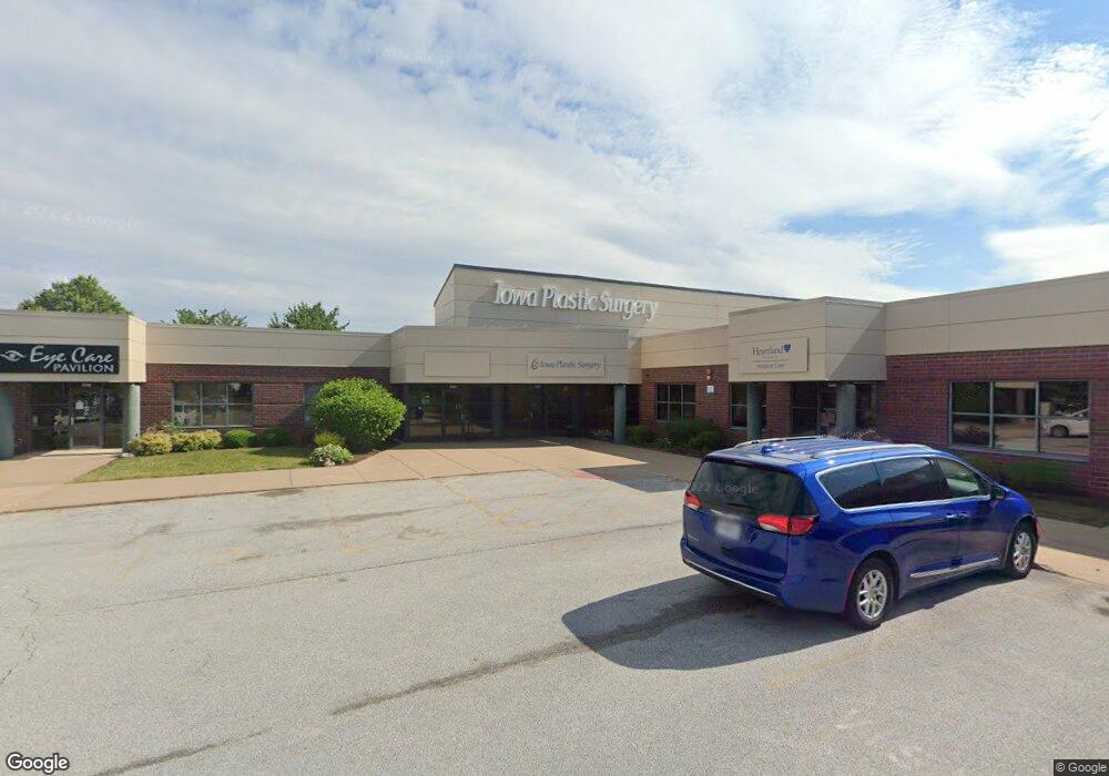
4320 E 53rd St Davenport, IA 52807
Estimated Value: $5,109,389
--
Bed
--
Bath
22,408
Sq Ft
$228/Sq Ft
Est. Value
About This Home
This home is located at 4320 E 53rd St, Davenport, IA 52807 and is currently estimated at $5,109,389, approximately $228 per square foot. 4320 E 53rd St is a home located in Scott County with nearby schools including Grant Wood Elementary School, Bettendorf Middle School, and Bettendorf High School.
Ownership History
Date
Name
Owned For
Owner Type
Purchase Details
Closed on
Jun 7, 2023
Sold by
Pyskir Partners Lc
Bought by
Davenport 4310 Mp Rk6 Llc
Current Estimated Value
Purchase Details
Closed on
Aug 24, 2017
Sold by
Linewood Mining
Bought by
Riverstone Group
Purchase Details
Closed on
Oct 22, 2007
Sold by
Victoria Holdings L C
Bought by
Pyskir Partners L C
Create a Home Valuation Report for This Property
The Home Valuation Report is an in-depth analysis detailing your home's value as well as a comparison with similar homes in the area
Home Values in the Area
Average Home Value in this Area
Purchase History
| Date | Buyer | Sale Price | Title Company |
|---|---|---|---|
| Davenport 4310 Mp Rk6 Llc | $4,800,000 | First American Title | |
| Riverstone Group | -- | None Available | |
| Pyskir Partners L C | -- | None Available |
Source: Public Records
Tax History Compared to Growth
Tax History
| Year | Tax Paid | Tax Assessment Tax Assessment Total Assessment is a certain percentage of the fair market value that is determined by local assessors to be the total taxable value of land and additions on the property. | Land | Improvement |
|---|---|---|---|---|
| 2024 | $106,546 | $3,292,950 | $972,500 | $2,320,450 |
| 2023 | $88,114 | $3,292,950 | $972,500 | $2,320,450 |
| 2022 | $87,250 | $2,743,970 | $972,500 | $1,771,470 |
| 2021 | $87,250 | $2,743,970 | $972,500 | $1,771,470 |
| 2020 | $88,590 | $2,743,970 | $972,500 | $1,771,470 |
| 2019 | $81,144 | $2,514,590 | $972,500 | $1,542,090 |
| 2018 | $82,828 | $2,514,590 | $972,500 | $1,542,090 |
| 2017 | $79,666 | $2,514,590 | $972,500 | $1,542,090 |
| 2016 | $66,250 | $1,994,400 | $0 | $0 |
| 2015 | $64,602 | $1,994,400 | $0 | $0 |
| 2014 | $66,138 | $1,994,400 | $0 | $0 |
| 2013 | $71,642 | $0 | $0 | $0 |
| 2012 | -- | $1,994,400 | $849,900 | $1,144,500 |
Source: Public Records
Map
Nearby Homes
- 1918 E 59th Ct
- 1912 E 59th Ct
- 1906 E 59th Ct
- 4150 E 60th St Unit 1004
- 9 E 61st Ct
- 1908 Katie Ct
- 1708 E 59th Ct
- 1816 E 59th Ct
- 1810 E 59th Ct
- 1804 E 59th Ct
- 1714 E 59th Ct
- 1705 E 59th Ct
- 1711 E 59th Ct
- 1717 E 59th Ct
- 1807 E 59th Ct
- 1813 E 59th Ct
- 1814 Katie Ct
- 4490 Hamilton Dr
- 4554 Bunker Hill Dr
- 4735 Stone Haven Ct
- 4320 E 53rd St Unit 4350
- 4316 E 53rd St Unit 4340
- 4316 E 53rd St
- 4340 E 53rd St
- 4334 E 53rd St
- 4310 E 53rd St
- 5321 Victoria Ave
- 5401 Victoria Ave
- 5236 Amesbury Dr
- 4300 E 53rd St
- 4300 E 53rd St Unit 200,300
- 4300 E 53rd St Unit 202
- 4300 E 53rd St Unit 100
- 4300 E 53rd St Unit 200
- 5220 Amesbury Dr
- 5237 Amesbury Dr
- 5405 Utica Ridge Rd
- 5405 Utica Ridge Rd Unit 206
- 5405 Utica Ridge Rd Unit 106
- 5405 Utica Ridge Rd Unit 210
