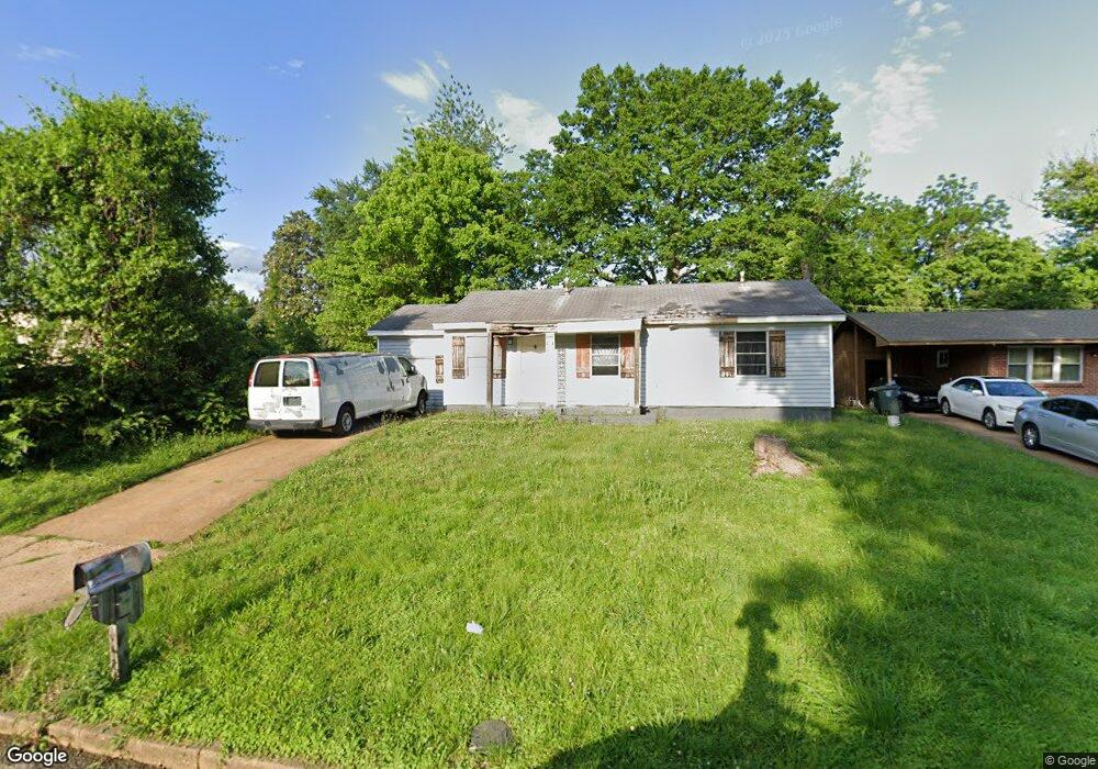
4320 Falcon Dr Memphis, TN 38109
Westwood NeighborhoodEstimated Value: $84,000 - $122,000
3
Beds
1
Bath
1,054
Sq Ft
$91/Sq Ft
Est. Value
About This Home
This home is located at 4320 Falcon Dr, Memphis, TN 38109 and is currently estimated at $95,691, approximately $90 per square foot. 4320 Falcon Dr is a home located in Shelby County with nearby schools including Levi Elementary School, Chickasaw Middle School, and Westwood High School.
Ownership History
Date
Name
Owned For
Owner Type
Purchase Details
Closed on
Aug 19, 2003
Sold by
Wachovia Bank Of Delaware Na
Bought by
Gipson Hammond
Current Estimated Value
Home Financials for this Owner
Home Financials are based on the most recent Mortgage that was taken out on this home.
Original Mortgage
$30,000
Interest Rate
6.45%
Mortgage Type
Purchase Money Mortgage
Purchase Details
Closed on
Dec 12, 2002
Sold by
Mathews Betty Jean and Mathews Ronald L
Bought by
Wachovia Bank Of Delaware Na and First Union National Bank Of Delaware
Create a Home Valuation Report for This Property
The Home Valuation Report is an in-depth analysis detailing your home's value as well as a comparison with similar homes in the area
Home Values in the Area
Average Home Value in this Area
Tax History
| Year | Tax Paid | Tax Assessment Tax Assessment Total Assessment is a certain percentage of the fair market value that is determined by local assessors to be the total taxable value of land and additions on the property. | Land | Improvement |
|---|---|---|---|---|
| 2025 | $465 | $19,625 | $2,525 | $17,100 |
| 2024 | $465 | $13,725 | $2,150 | $11,575 |
| 2023 | $836 | $13,725 | $2,150 | $11,575 |
| 2022 | $836 | $13,725 | $2,150 | $11,575 |
| 2021 | $846 | $13,725 | $2,150 | $11,575 |
| 2020 | $607 | $8,375 | $2,150 | $6,225 |
| 2019 | $607 | $8,375 | $2,150 | $6,225 |
| 2018 | $607 | $8,375 | $2,150 | $6,225 |
| 2017 | $344 | $8,375 | $2,150 | $6,225 |
| 2016 | $412 | $9,425 | $0 | $0 |
| 2014 | $412 | $9,425 | $0 | $0 |
Source: Public Records
Map
Nearby Homes
- 0 Ford Rd
- 4314 Ford Rd
- 4265 Falcon Cove
- 4374 Ford Rd
- 507 Tonto Rd
- 493 Tonawanda Cove
- 646 Western Park Dr
- 4231 Wanatah St
- 630 Mohawk Ave
- 4212 Falcon Dr
- 693 Bonwood Ave
- 640 Leacrest Ave
- 646 Leacrest Ave
- 4501 S 3rd St
- 748 Western Park Dr
- 803 Ledbetter Ave
- 785 Pawnee Ave
- 808 Mohawk Ave
- 668 Westview Rd
- 436 Western Park Dr
- 4324 Falcon Dr
- 551 Western Park Dr
- 4323 Ford Rd
- 4328 Falcon Dr
- 4329 Ford Rd
- 4315 Ford Rd
- 4321 Falcon Dr
- 4335 Ford Rd
- 4325 Falcon Dr
- 4334 Falcon Dr
- 567 Western Park Dr
- 4331 Falcon Dr
- 4341 Ford Rd
- 4338 Falcon Dr
- 4347 Ford Rd
- 4339 Falcon Dr
- 554 Western Park Dr
- 546 Western Park Dr
- 4328 Arrow Cove
- 560 Western Park Dr
Your Personal Tour Guide
Ask me questions while you tour the home.