4321 Clark St Whitehall, MI 49461
Estimated Value: $501,000 - $616,000
--
Bed
3
Baths
3,012
Sq Ft
$180/Sq Ft
Est. Value
About This Home
This home is located at 4321 Clark St, Whitehall, MI 49461 and is currently estimated at $542,742, approximately $180 per square foot. 4321 Clark St is a home located in Muskegon County with nearby schools including Shoreline Elementary School, Ealy Elementary School, and Whitehall Middle School.
Ownership History
Date
Name
Owned For
Owner Type
Purchase Details
Closed on
Jan 13, 2022
Sold by
Mcgahan Arthur L and Mcgahan Jo Gena
Bought by
Mcgahan David and Demumbrum Danielle
Current Estimated Value
Purchase Details
Closed on
Jun 3, 2021
Sold by
Mcgahan Gena Jo and Gordon W Heykoop Living Trust
Bought by
Mcgahan Gena Jo
Purchase Details
Closed on
Feb 15, 2018
Sold by
Heykoop Gordon W
Bought by
Heykoop Gordon W and Mcgahan Gena Jo
Create a Home Valuation Report for This Property
The Home Valuation Report is an in-depth analysis detailing your home's value as well as a comparison with similar homes in the area
Home Values in the Area
Average Home Value in this Area
Purchase History
| Date | Buyer | Sale Price | Title Company |
|---|---|---|---|
| Mcgahan David | -- | Ladas & Hoopes Law Offices Plc | |
| Mcgahan Arthur L | -- | None Listed On Document | |
| Mcgahan Gena Jo | -- | None Available | |
| Mcgahan Gena Jo | -- | None Listed On Document | |
| Heykoop Gordon W | -- | None Available |
Source: Public Records
Tax History Compared to Growth
Tax History
| Year | Tax Paid | Tax Assessment Tax Assessment Total Assessment is a certain percentage of the fair market value that is determined by local assessors to be the total taxable value of land and additions on the property. | Land | Improvement |
|---|---|---|---|---|
| 2025 | $6,954 | $261,800 | $0 | $0 |
| 2024 | $1,720 | $236,500 | $0 | $0 |
| 2023 | $1,645 | $210,400 | $0 | $0 |
| 2022 | $6,723 | $180,100 | $0 | $0 |
| 2021 | $4,176 | $170,500 | $0 | $0 |
| 2020 | $4,134 | $165,400 | $0 | $0 |
| 2019 | $3,843 | $146,600 | $0 | $0 |
| 2018 | $3,755 | $143,700 | $0 | $0 |
| 2017 | $3,680 | $138,100 | $0 | $0 |
| 2016 | $1,402 | $136,700 | $0 | $0 |
| 2015 | -- | $136,200 | $0 | $0 |
| 2014 | -- | $132,800 | $0 | $0 |
| 2013 | -- | $115,600 | $0 | $0 |
Source: Public Records
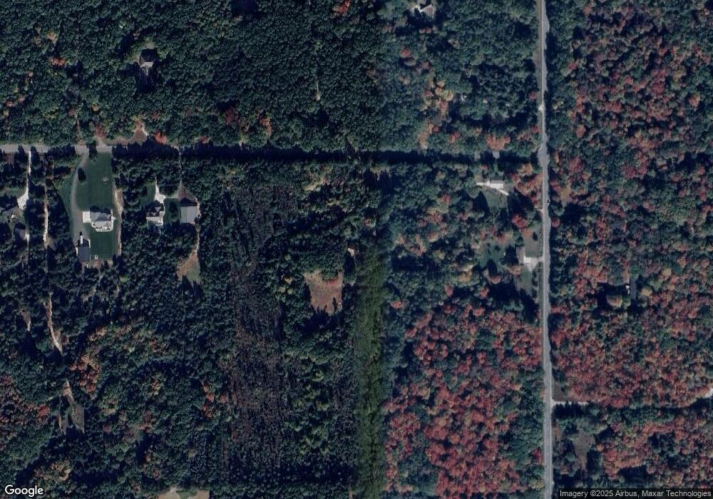
Map
Nearby Homes
- 6687 Shari Dr
- 4744 Sandy Ln
- 4268 W White Lake Dr
- 0 W White Lake Dr
- 3775 W White Lake Dr
- V/L Carleton St
- 1417 Carleton St
- 6850 Blank Rd
- 1442 Burnside Rd
- Lot 2 Angelwood Dr
- 1002 S Cove Cir
- 925 S Lake St
- 940 S Lake St
- 930 S Lake St
- 911 S Division St
- The Birkshire II Plan at Tannery Bay
- The Crestview Plan at Tannery Bay
- The Jamestown Plan at Tannery Bay
- The Newport Plan at Tannery Bay
- The Sebastian Plan at Tannery Bay