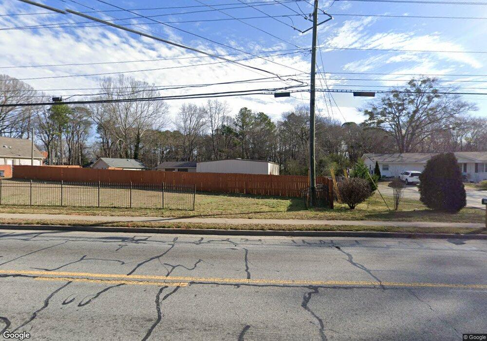
4321 Floyd Rd Austell, GA 30106
Estimated Value: $351,000 - $731,000
1
Bed
1
Bath
3,149
Sq Ft
$174/Sq Ft
Est. Value
About This Home
This home is located at 4321 Floyd Rd, Austell, GA 30106 and is currently estimated at $547,735, approximately $173 per square foot. 4321 Floyd Rd is a home located in Cobb County with nearby schools including Deerwood Elementary School, Russell Elementary School, and Floyd Middle School.
Ownership History
Date
Name
Owned For
Owner Type
Purchase Details
Closed on
Sep 23, 2003
Sold by
Langley Thomas G and Langley Lois A
Bought by
Smith John R
Current Estimated Value
Home Financials for this Owner
Home Financials are based on the most recent Mortgage that was taken out on this home.
Original Mortgage
$152,500
Interest Rate
6.24%
Create a Home Valuation Report for This Property
The Home Valuation Report is an in-depth analysis detailing your home's value as well as a comparison with similar homes in the area
Home Values in the Area
Average Home Value in this Area
Purchase History
| Date | Buyer | Sale Price | Title Company |
|---|---|---|---|
| Smith John R | $152,300 | -- |
Source: Public Records
Mortgage History
| Date | Status | Borrower | Loan Amount |
|---|---|---|---|
| Closed | Smith John R | $152,500 |
Source: Public Records
Tax History Compared to Growth
Tax History
| Year | Tax Paid | Tax Assessment Tax Assessment Total Assessment is a certain percentage of the fair market value that is determined by local assessors to be the total taxable value of land and additions on the property. | Land | Improvement |
|---|---|---|---|---|
| 2025 | $7,472 | $247,988 | $71,820 | $176,168 |
| 2024 | $7,477 | $247,988 | $71,820 | $176,168 |
| 2023 | $6,398 | $212,220 | $79,380 | $132,840 |
| 2022 | $5,706 | $188,000 | $68,040 | $119,960 |
| 2021 | $5,367 | $176,840 | $64,260 | $112,580 |
| 2020 | $4,908 | $161,720 | $49,140 | $112,580 |
| 2019 | $4,908 | $161,720 | $49,140 | $112,580 |
| 2018 | $4,012 | $132,192 | $26,460 | $105,732 |
| 2017 | $3,801 | $132,192 | $26,460 | $105,732 |
| 2016 | $3,593 | $124,976 | $22,680 | $102,296 |
| 2015 | $3,394 | $115,216 | $22,680 | $92,536 |
| 2014 | $3,423 | $115,216 | $0 | $0 |
Source: Public Records
Map
Nearby Homes
- 1240 Parktown Dr Unit 4
- 1021 Wisteria Dr SW
- 936 Tyrell Dr
- 1078 Hibiscus Way SW
- 1097 Trestle Dr
- 895 Tyrell Dr
- 960 Verlander Trail
- 1146 Silvergate Ln
- 971 Verlander Trail
- 4072 Elsdon Dr
- 4201 Regal Ridge Rd
- Kaufman Plan at Wilkins Walk
- Bryson Plan at Wilkins Walk
- Brooks Plan at Wilkins Walk
- 4569 Moray Dr
- 4581 Moray Dr
- 4589 Moray Dr
- 4561 Moray Dr
- 4593 Moray Dr
- 4585 Moray Dr
- 0 Anderson Mill Rd
- 0 Anderson Mill Rd Unit 7326777
- 0 Anderson Mill Rd Unit 7162987
- 0 Anderson Mill Rd Unit 8813283
- 0 Anderson Mill Rd Unit 8601534
- 0 Anderson Mill Rd Unit 8557450
- 0 Anderson Mill Rd Unit 8539199
- 0 Anderson Mill Rd Unit 8569123
- 0 Anderson Mill Rd Unit 3217764
- 0 Anderson Mill Rd Unit 7573399
- 4331 Floyd Rd
- 4339 Floyd Rd
- 4345 Floyd Rd
- 1143 Anderson Mill Rd
- 4349 Floyd Rd
- 4299 Cades Cove Dr
- 4340 Floyd Rd
- 1050 Bates Rd
- 4297 Cades Cove Dr
- 1088 Whistle Dr